Old Maps of Langdon, Missouri
Explore 12 old maps of Langdon, spanning from 1915 to today. These high-resolution historic maps reveal how streets, neighborhoods, landmarks, and natural features evolved over time — perfect for genealogy, metal detecting, research, and local history exploration.
What you can do with these maps:
- See how Langdon changed over time: Compare historical maps to modern-day views to trace roads, homesites, rail lines & more.
- View detailed metadata: Each map includes creators, publishers, year, scale, and archive source.
- Overlay maps with satellite & LiDAR: Visualize the past alongside modern tools to explore terrain & human change.
- Trusted historical sources: Maps sourced from the USGS, Library of Congress, and other archives.
- Access maps your way: View online, download high-res files, or order prints for personal or research use.
Start exploring old maps of Langdon to uncover forgotten places, hidden landmarks, and the deep history beneath your feet.
Langdon, MO maps
(12)- 1915 Map of Nemaha
 1915 Nemaha1915 Print · USGSThe Missouri River borderlands between Nebraska and Missouri are captured here in the years before major flood control altered the channel. Genealogists can trace family roots through dozens of rural landmarks, including Mt Vernon Cemetery, Antioch Church, and the river landing at St Deroin.2 unique versions available
 - 1939 Map of Nemaha, 1954 Print
 1939 Nemaha1954 Print · USGSThe Missouri River floodplain and the bluffs of Nebraska and Missouri are captured here just before the mid-century. Researchers can trace the path of the Chicago Burlington and Quincy railroad and find vanished locations like St Deroin, Aspinwall, and McCandless Siding.
 - 1949 Map of Nemaha
 1949 Nemaha1949 Print · USGSThe Missouri River lowlands come alive in this post-war survey of the Nebraska-Missouri border. Genealogists can trace family roots through dozens of named country schools and small rail stops like McCandless Siding and the settlement of St Deroin.
 - 1955 Map of Nebraska City, 1967 Print
 1955 Nebraska City1967 Print · USGSThe four-state region surrounding the Missouri River valley appears here in the mid-1950s, a landscape of rail-dependent market towns and rural school districts. Genealogists can locate family landmarks like the Rock Bluff School, St Oswald Church, and the Clarinda State Hospital.3 unique versions available
 - 1957 Map of Nebraska City
 1957 Nebraska City1957 Print · USGSThe four-state junction of Nebraska, Iowa, Missouri, and Kansas comes alive in this mid-fifties survey of the Missouri River valley. Genealogists and historians can trace the rail-and-road networks connecting Nebraska City, Maryville, and the Squaw Creek National Wildlife Refuge.
 - 1958 Map of Nebraska City
 1958 Nebraska City1958 Print · USGSThe Missouri River Valley and its fertile four-state borderlands are captured here during the mid-century expansion of the regional highway and rail networks. Genealogists can trace family roots through numerous rural landmarks like Moulton School, Shady Grove Church, and the Clarinda State Hospital.
 - 1966 Map of Langdon, 1968 Print
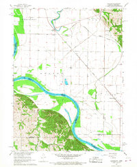 1966 Langdon1968 Print · USGSThe Missouri-Nebraska borderlands are captured here in the mid-sixties, where the Missouri River meets the Barada Hills. Genealogists and researchers can trace the rail lines of the Chicago Burlington and Quincy or locate rural sites like St Peters Ch and Hunter Cem.3 unique versions available
 - 1986 Map of Falls City
 1986 Falls City1986 Print · USGSThe Missouri River borderlands of Nebraska and Missouri were a landscape of established colleges and river-bound railroads in the mid-1980s. Researchers can locate long-standing landmarks like Peru State College, the Iowa Indian Reservation, and St Johns Cem.2 unique versions available
 - 2012 Map of Langdon, 2012 Print
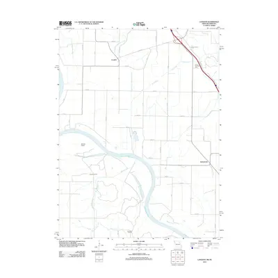 2012 Langdon2012 Print · USGSThe Missouri-Nebraska borderlands are shown in detail during the early 2010s, where the great river bend dictates the rural landscape. Genealogists can locate family sites at Hunter Cemetery or Hillsdale Cemetery and trace the former path of the Old Channel Nishnabotna River.
 - 2014 Map of Langdon, 2014 Print
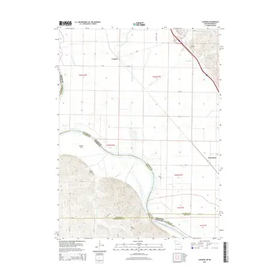 2014 Langdon2014 Print · USGSThe Missouri-Nebraska borderlands are revealed in this 2014 survey, highlighting the complex hydrology of the Missouri River floodplain. Genealogists can locate family sites at Hunter Cemetery or Hillsdale Cemetery near the settlements of Langdon and Nishnabotna.
 - 2017 Map of Langdon, 2017 Print
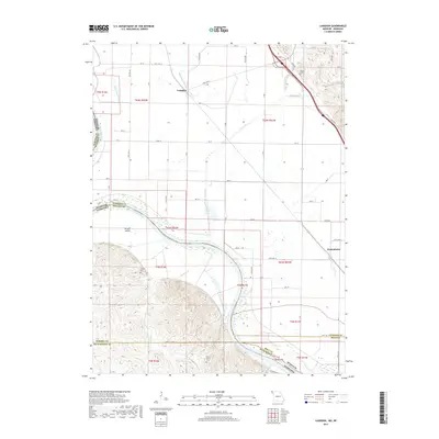 2017 Langdon2017 Print · USGSThe Missouri and Nebraska borderlands are captured here in the late 2010s, showcasing a landscape defined by the shifting course of the river. Genealogists and local historians can locate rural landmarks like Hunter Cem and Saint Deroin Cem near Langdon.
 - 2021 Map of Langdon, 2021 Print
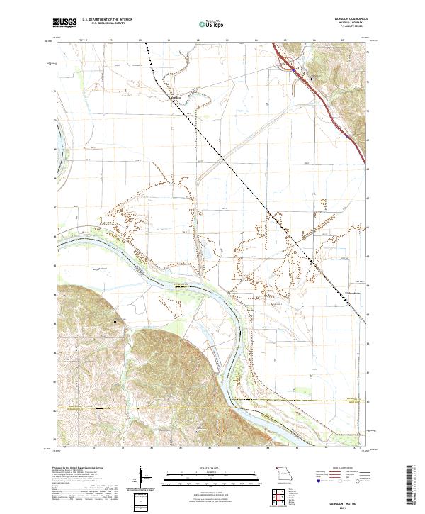 2021 Langdon2021 Print · USGSAtchison County at the Missouri-Nebraska border reveals a landscape shaped by the shifting currents of the river. Researchers can trace family history at Saint Deroin Cem or follow old watercourses like the Old Channel Nishnabotna River near Langdon.
End of results
Showing maps 1-12 of 12
Top cities near Langdon
- Tarkio historical maps
- Rock Port historical maps
- Peru historical maps
- Fairfax historical maps
- Craig historical maps
- Shubert historical maps
See more
Frequently asked questions
- What are the different types of historical maps available for Langdon?
- What is the oldest map of Langdon?
- Where can I purchase historical maps of Langdon for my home or office?
- Where can I download high-res historical maps of Langdon?
- Are there historical topographic maps available for Langdon?
- Is there historical aerial imagery available for Langdon?
- Where are historical maps of Langdon sourced from?