Old Maps of Milton, Missouri
Explore 13 old maps of Milton, spanning from 1936 to today. These high-resolution historic maps reveal how streets, neighborhoods, landmarks, and natural features evolved over time — perfect for genealogy, metal detecting, research, and local history exploration.
What you can do with these maps:
- See how Milton changed over time: Compare historical maps to modern-day views to trace roads, homesites, rail lines & more.
- View detailed metadata: Each map includes creators, publishers, year, scale, and archive source.
- Overlay maps with satellite & LiDAR: Visualize the past alongside modern tools to explore terrain & human change.
- Trusted historical sources: Maps sourced from the USGS, Library of Congress, and other archives.
- Access maps your way: View online, download high-res files, or order prints for personal or research use.
Start exploring old maps of Milton to uncover forgotten places, hidden landmarks, and the deep history beneath your feet.
Milton, MO maps
(13)- 1936 Map of Fairfax
 1936 Fairfax1936 Print · USGSBenton and Hickory counties are captured in the mid-1930s just as the Lake of the Ozarks was reshaping the Osage River valley. Trace family roots at Wisdom Cem or locate the old Hogles Creek Sch and the community at Fairfield.
 - 1939 Map of Tarkio
 1939 Tarkio1939 Print · USGSNorthwest Missouri's farm country is captured here just before the mid-century, showing a landscape defined by the Tarkio River and a dense grid of rural schoolhouses. Researchers can trace family history through dozens of named landmarks like Tarkio College, Busch Cem, and the Chicago Burlington and Quincy rail line.
 - 1940 Map of Tarkio
 1940 Tarkio1940 Print · USGSAtchison County at the end of the Depression was a landscape of river-bottom farms and rural school districts. Genealogists can locate family-named landmarks and country parishes like English Grove Ch, Tarkio College, and Prairie Hill Cem.
 - 1941 Map of Tarkio
 1941 Tarkio1941 Print · USGSNorthwest Missouri thrived as a region of productive townships and rail-connected towns just before the war. Researchers can locate dozens of country schoolhouses like Irish Grove Sch and family landmarks such as the English Grove Ch or Prairie Hill Cem.2 unique versions available
 - 1955 Map of Nebraska City, 1967 Print
 1955 Nebraska City1967 Print · USGSThe four-state region surrounding the Missouri River valley appears here in the mid-1950s, a landscape of rail-dependent market towns and rural school districts. Genealogists can locate family landmarks like the Rock Bluff School, St Oswald Church, and the Clarinda State Hospital.3 unique versions available
 - 1957 Map of Nebraska City
 1957 Nebraska City1957 Print · USGSThe four-state junction of Nebraska, Iowa, Missouri, and Kansas comes alive in this mid-fifties survey of the Missouri River valley. Genealogists and historians can trace the rail-and-road networks connecting Nebraska City, Maryville, and the Squaw Creek National Wildlife Refuge.
 - 1958 Map of Nebraska City
 1958 Nebraska City1958 Print · USGSThe Missouri River Valley and its fertile four-state borderlands are captured here during the mid-century expansion of the regional highway and rail networks. Genealogists can trace family roots through numerous rural landmarks like Moulton School, Shady Grove Church, and the Clarinda State Hospital.
 - 1981 Map of Fairfax, 1982 Print
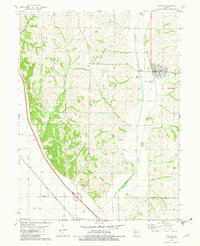 1981 Fairfax1982 Print · USGSAgricultural life in northwest Missouri during the early eighties centered on the Tarkio River and the rails. Genealogists can locate family landmarks like English Grove Ch, Mount Hope Cem, and the old settlement of Milton.
 - 1986 Map of Falls City
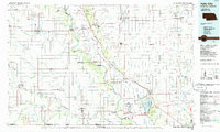 1986 Falls City1986 Print · USGSThe Missouri River borderlands of Nebraska and Missouri were a landscape of established colleges and river-bound railroads in the mid-1980s. Researchers can locate long-standing landmarks like Peru State College, the Iowa Indian Reservation, and St Johns Cem.2 unique versions available
 - 2012 Map of Fairfax, 2012 Print
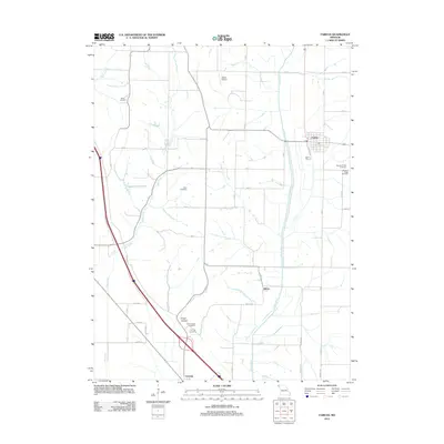 2012 Fairfax2012 Print · USGSFairfax and the surrounding Atchison County countryside appear in clear detail during the early twenty-first century. Local historians can trace family roots at Mount Hope Cemetery or Beck Cemetery and locate rural landmarks like Steele Airport.
 - 2014 Map of Fairfax, 2014 Print
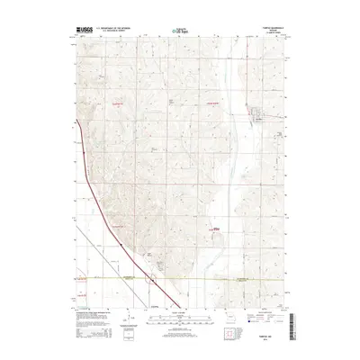 2014 Fairfax2014 Print · USGSFairfax and the Missouri river bottomlands are captured here in the early twenty-first century, showing the rural character of the Atchison and Holt county line. Genealogists can trace family sites at English Grove Cemetery, Beck Cemetery, and the riverfront settlement of Corning.
 - 2017 Map of Fairfax, 2017 Print
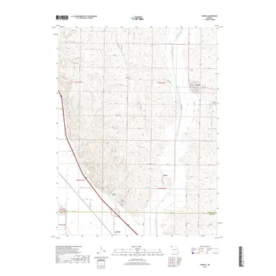 2017 Fairfax2017 Print · USGSFairfax and the Missouri river-valley uplands are documented here in the early twenty-first century. Genealogists and historians can trace family locations at Bush Cem or English Grove Cem and explore the rural layout of Milton and Corning.
 - 2021 Map of Fairfax, 2021 Print
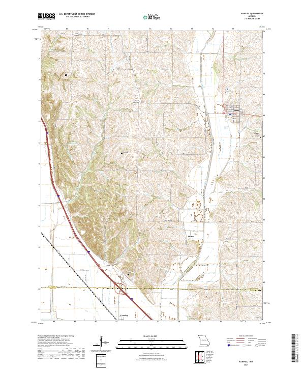 2021 Fairfax2021 Print · USGSNorthwestern Missouri's agricultural heartland is documented here in the early twenty-first century, centered on the community of Fairfax. Genealogists can trace family landmarks across several rural burial grounds, including English Grove Cemetery, Mount Hope Cemetery, and Beck Cemetery.
End of results
Showing maps 1-13 of 13
Top cities near Milton
- Falls City historical maps
- Tarkio historical maps
- Rock Port historical maps
- Mound City historical maps
- Fairfax historical maps
- Craig historical maps
See more
Frequently asked questions
- What are the different types of historical maps available for Milton?
- What is the oldest map of Milton?
- Where can I purchase historical maps of Milton for my home or office?
- Where can I download high-res historical maps of Milton?
- Are there historical topographic maps available for Milton?
- Is there historical aerial imagery available for Milton?
- Where are historical maps of Milton sourced from?