Old Maps of York, Missouri for Metal Detecting
Plan your next treasure hunt with 13 historic maps of York. Find old homesites, ghost towns, trails, and gathering spots that may be lost to time — perfect for identifying promising metal detecting locations.
- Locate forgotten sites: Uncover places like long-lost settlements, abandoned rail lines, or gathering spots.
- Plan better hunts: Use map overlays combined with LiDAR or satellite views to narrow in on historically rich areas.
- Made for detectorists: Thousands of hobbyists use these maps to discover relics, coins, and hidden history.
Use these historic maps to boost your research and find new opportunities beneath the surface of York.
York, MO maps
(13)- 1939 Map of Tarkio
 1939 Tarkio1939 Print · USGSNorthwest Missouri's farm country is captured here just before the mid-century, showing a landscape defined by the Tarkio River and a dense grid of rural schoolhouses. Researchers can trace family history through dozens of named landmarks like Tarkio College, Busch Cem, and the Chicago Burlington and Quincy rail line.
 - 1940 Map of Tarkio
 1940 Tarkio1940 Print · USGSAtchison County at the end of the Depression was a landscape of river-bottom farms and rural school districts. Genealogists can locate family-named landmarks and country parishes like English Grove Ch, Tarkio College, and Prairie Hill Cem.
 - 1941 Map of Tarkio
 1941 Tarkio1941 Print · USGSNorthwest Missouri thrived as a region of productive townships and rail-connected towns just before the war. Researchers can locate dozens of country schoolhouses like Irish Grove Sch and family landmarks such as the English Grove Ch or Prairie Hill Cem.2 unique versions available
 - 1955 Map of Nebraska City, 1967 Print
 1955 Nebraska City1967 Print · USGSThe four-state region surrounding the Missouri River valley appears here in the mid-1950s, a landscape of rail-dependent market towns and rural school districts. Genealogists can locate family landmarks like the Rock Bluff School, St Oswald Church, and the Clarinda State Hospital.3 unique versions available
 - 1957 Map of Nebraska City
 1957 Nebraska City1957 Print · USGSThe four-state junction of Nebraska, Iowa, Missouri, and Kansas comes alive in this mid-fifties survey of the Missouri River valley. Genealogists and historians can trace the rail-and-road networks connecting Nebraska City, Maryville, and the Squaw Creek National Wildlife Refuge.
 - 1958 Map of Nebraska City
 1958 Nebraska City1958 Print · USGSThe Missouri River Valley and its fertile four-state borderlands are captured here during the mid-century expansion of the regional highway and rail networks. Genealogists can trace family roots through numerous rural landmarks like Moulton School, Shady Grove Church, and the Clarinda State Hospital.
 - 1981 Map of Tarkio East, 1982 Print
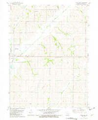 1981 Tarkio East1982 Print · USGSAtchison County at the start of the 1980s showcases a rural landscape defined by the winding Tarkio River and its rail connections. Researchers can trace family history at Center Grove Cem or locate the local Oil Field and Community Hall.
 - 1986 Map of Falls City
 1986 Falls City1986 Print · USGSThe Missouri River borderlands of Nebraska and Missouri were a landscape of established colleges and river-bound railroads in the mid-1980s. Researchers can locate long-standing landmarks like Peru State College, the Iowa Indian Reservation, and St Johns Cem.2 unique versions available
 - 2012 Map of Tarkio East, 2012 Print
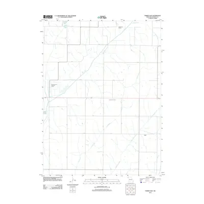 2012 Tarkio East2012 Print · USGSAtchison County's rural heartland is documented here in the early twenty-first century, showing a landscape defined by traditional agriculture and winding waterways. Researchers can locate the settlement of York and trace features like the Prairie Hill Cemetery and Deadmans Hollow.
 - 2014 Map of Tarkio East, 2014 Print
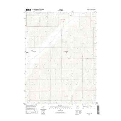 2014 Tarkio East2014 Print · USGSAtchison County comes into focus in the early 21st century, showing the rural landscapes and river valleys surrounding the town of Tarkio. Genealogists and local historians can locate Center Grove Cemetery, Prairie Hill Cemetery, and the settlement of York.
 - 2017 Map of Tarkio East, 2017 Print
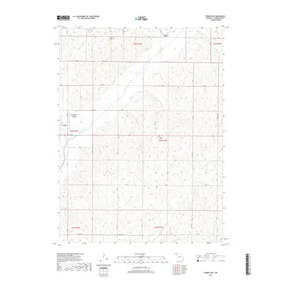 2017 Tarkio East2017 Print · USGSThe rolling agricultural lands of Atchison County are centered around the river valleys of the Tarkio River and its tributaries during the late 2010s. Genealogists and local historians can trace the rural landscape through landmarks like Center Grove Cem, Prairie Hill Cem, and the Gould Peterson Municipal Airport.
 - 2021 Map of Tarkio East, 2021 Print
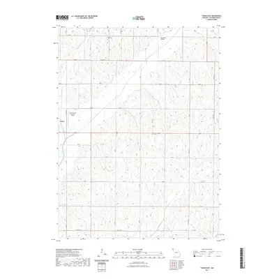 2021 Tarkio East2021 Print · USGSAtchison County's rural character and complex drainage system are fully detailed in the early 2020s. Researchers can trace land tracts near Tarkio, locate family burials at Center Grove Cem, or follow the winding Tarkio River.
 - 2023 Map of Tarkio East, 2023 Print
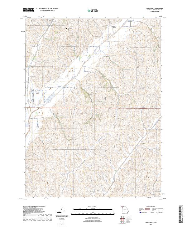 2023 Tarkio East2023 Print · USGSAtchison County's rural landscape is mapped here in the early twenty-first century, showing the organized grid of farm roads and river valleys. Researchers can locate family sites and local landmarks like Center Grove Cem, Prairie Hill Cem, and the Gould Peterson Municipal Airport.
End of results
Showing maps 1-13 of 13
Top cities near York
- Tarkio historical maps
- Fairfax historical maps
- Burlington Junction historical maps
- Skidmore historical maps
- Maitland historical maps
- Craig historical maps
See more
Frequently asked questions
- What are the different types of historical maps available for York?
- What is the oldest map of York?
- Where can I purchase historical maps of York for my home or office?
- Where can I download high-res historical maps of York?
- Are there historical topographic maps available for York?
- Is there historical aerial imagery available for York?
- Where are historical maps of York sourced from?