Old Maps of Pioneer, Missouri for Academic Research
Study the evolution of Pioneer with 10 high-resolution historic maps. Whether you're teaching, researching, or modeling changes in land use, these maps provide essential visual documentation of urban, environmental, and geographic change.
- Analyze long-term change: Track patterns in development, transportation, and natural features.
- Ideal for environmental or urban studies: Support academic projects with primary historical map data.
- Use in the classroom or lab: Educators and researchers rely on these maps to bring historical context to life.
These maps are a powerful tool for teaching, research, and visualizing how Pioneer has changed over the decades.
Pioneer, MO maps
(10)- 1943 Map of Ritchey
 1943 Ritchey1943 Print · USGSSouthwest Missouri during the war years shows a landscape of busy railroads and emerging military sites. Genealogists can trace family roots through numerous local landmarks like Odd Fellows Cem, Dungy Mine, and rural centers such as Stark City.2 unique versions available
 - 1954 Map of Tulsa
 1954 Tulsa1954 Print · USGSNortheast Oklahoma and the Ozark border are shown here during a period of massive industrial and infrastructure growth. Researchers can trace the legacy of the Tri-State Mining District and the development of major reservoirs like Grand Lake O' The Cherokees.2 unique versions available
 - 1958 Map of Tulsa, 1968 Print
 1958 Tulsa1968 Print · USGSNortheast Oklahoma and the Ozark borderlands are captured here during a massive era of reservoir construction and highway expansion. Researchers can trace the mid-century footprints of Tulsa, the sprawling Lake O' the Cherokees, and historical sites like Pea Ridge National Military Park.3 unique versions available
 - 1963 Map of Tulsa
 1963 Tulsa1963 Print · USGSThe Oklahoma and Arkansas borderlands are shown here in the early sixties, a time of massive reservoir construction and heavy mining. Genealogists can trace family roots through settlements like Nowata, Pryor, and Jay, or locate historical zinc and lead mines and coal mines.
 - 1972 Map of Wheaton, 1973 Print
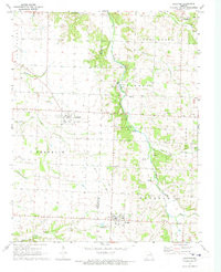 1972 Wheaton1973 Print · USGSThe rural landscapes of Barry and Newton Counties come to life in this early 1970s survey of the Missouri Ozarks. Genealogists and local historians can trace family-named sites like Barker Cem, the community at Fairview, and Mt Olive Ch.
 - 1986 Map of Neosho
 1986 Neosho1986 Print · USGSThe tri-state border region comes alive in the mid-eighties as a landscape of mining heritage and river valleys. Researchers can trace the rail lines of the Kansas City Southern Ry and locate rural landmarks like Gibson Cem and Peoria.2 unique versions available
 - 2012 Map of Wheaton, 2012 Print
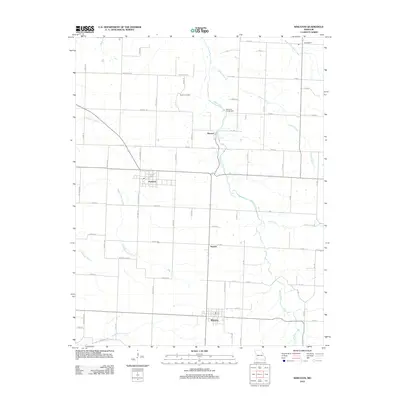 2012 Wheaton2012 Print · USGSCovers Pioneer, including Wheaton, Fairview, and other nearby areas
 - 2015 Map of Wheaton, 2015 Print
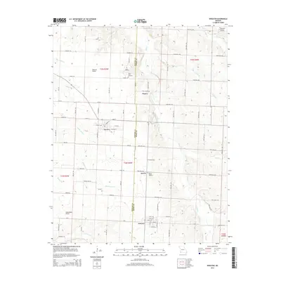 2015 Wheaton2015 Print · USGSCovers Pioneer, including Wheaton, Fairview, and other nearby areas
 - 2017 Map of Wheaton, 2017 Print
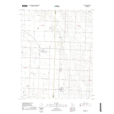 2017 Wheaton2017 Print · USGSCovers Pioneer, including Wheaton, Fairview, and other nearby areas
 - 2021 Map of Wheaton, 2021 Print
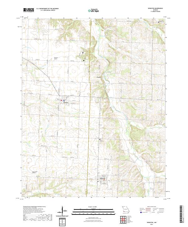 2021 Wheaton2021 Print · USGSBarry and Newton County farm country is captured here during its recent period of agricultural stability and rural growth. Researchers can locate several burial grounds including Muncie Chapel Cem and Barker Cem near the headwaters of Shoal Creek.
End of results
Showing maps 1-10 of 10
Top cities near Pioneer
- Monett historical maps
- Cassville historical maps
- Granby historical maps
- Pierce City historical maps
- Sarcoxie historical maps
- Purdy historical maps
See more
Frequently asked questions
- What are the different types of historical maps available for Pioneer?
- What is the oldest map of Pioneer?
- Where can I purchase historical maps of Pioneer for my home or office?
- Where can I download high-res historical maps of Pioneer?
- Are there historical topographic maps available for Pioneer?
- Is there historical aerial imagery available for Pioneer?
- Where are historical maps of Pioneer sourced from?