Old Maps of Butler, Missouri for Metal Detecting
Plan your next treasure hunt with 17 historic maps of Butler. Find old homesites, ghost towns, trails, and gathering spots that may be lost to time — perfect for identifying promising metal detecting locations.
- Locate forgotten sites: Uncover places like long-lost settlements, abandoned rail lines, or gathering spots.
- Plan better hunts: Use map overlays combined with LiDAR or satellite views to narrow in on historically rich areas.
- Made for detectorists: Thousands of hobbyists use these maps to discover relics, coins, and hidden history.
Use these historic maps to boost your research and find new opportunities beneath the surface of Butler.
Butler, MO maps
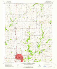
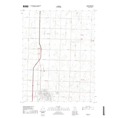
(17)- 1887 Map of Butler
 1887 Butler1887 Print · USGSBates County is captured here in the 1880s as the rail and river economies converged. Researchers can trace the early footprints of Butler and Rich Hill, or locate smaller disappeared locales like Carbon Centre and Crescent Hill.
 - 1894 Map of Butler
 1894 Butler1894 Print · USGSBates County is captured here in the late nineteenth century as the railroad began to redefine its rural economy. Genealogists can trace family roots through the grids of Butler and Rich Hill, or locate smaller centers like Papinsville and Crescent Hill.4 unique versions available
 - 1947 Map of Lawrence, 1954 Print
 1947 Lawrence1954 Print · USGSEastern Kansas and western Missouri thrive in the late 1940s, showing a landscape defined by major river valleys and a dense railway network. Genealogists can trace family settlements from Lawrence to Greenwood and locate landmarks like Olathe Navy and Lake Lotawana.
 - 1950 Map of Lawrence
 1950 Lawrence1950 Print · USGSMid-century Kansas and Missouri come alive in this map of the river-valley corridors just as the interstate era was beginning. Researchers can trace the legacy of major rail lines like the Union Pacific RR and locate ancestral roots in towns from Lawrence to Harrisonville.
 - 1956 Map of Lawrence, 1967 Print
 1956 Lawrence1967 Print · USGSEastern Kansas and the Missouri border country are captured here during the mid-century transition to the interstate era. Genealogists and local historians can trace family-named terrain like Summers Mound and the footprint of Sunflower Ordnance Works near Baldwin City.4 unique versions available
 - 1961 Map of Lawrence
 1961 Lawrence1961 Print · USGSThe Kansas-Missouri borderland shows its mid-century transition from a rail-dependent agricultural region to a suburbanizing landscape. Genealogists can trace family footprints through numerous Cem sites and distinctive terrain landmarks like Graves Mound and Summers Mound.
 - 1961 Map of Butler, 1962 Print
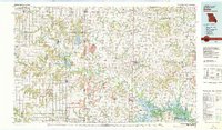
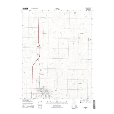
 1961 Butler1962 Print · USGSBates County is captured here in the early sixties, centered on the growing town of Butler and the Missouri Pacific rail corridor. Researchers can trace family sites at Oak Hill Cemetery, visit the rural Mt Olivet Ch, or locate the old County Farm.2 unique versions available
 - 1981 Map of Butler
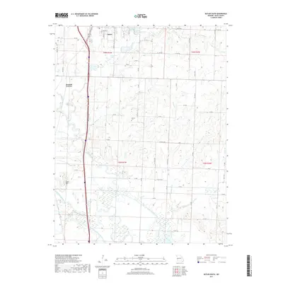
 1981 Butler1981 Print · USGSWestern Missouri and eastern Kansas settlements are documented here in the early eighties, as the river valleys were transitioning into major wildlife management areas. Genealogists can locate family names near Greenlawn Cem or trace the development of towns like Butler, Osawatomie, and Appleton City.
 - 1991 Map of Butler South
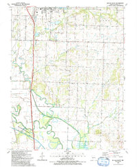 1991 Butler South1991 Print · USGSBates County south of Butler is captured here in the early 1990s, where the Missouri prairie meets the winding Marais des Cygnes River. Genealogists can locate family landmarks like Fairview Cem, Mt Zion Ch, and the small settlement of Peru.
 - 2011 Map of Butler, 2011 Print
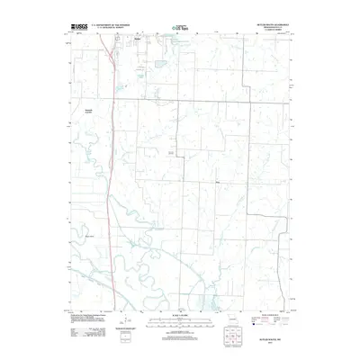
 2011 Butler2011 Print · USGSCovers Butler, including Passaic, Bates County, and other nearby areas
 - 2011 Map of Butler South, 2011 Print
 2011 Butler South2011 Print · USGSCovers Butler, including Peru, Bates County, and other nearby areas
 - 2014 Map of Butler South, 2014 Print
 2014 Butler South2014 Print · USGSCovers Butler, including Peru, Bates County, and other nearby areas
 - 2014 Map of Butler, 2014 Print
 2014 Butler2014 Print · USGSCovers Butler, including Passaic, Bates County, and other nearby areas
 - 2017 Map of Butler South, 2017 Print
 2017 Butler South2017 Print · USGSCovers Butler, including Peru, Bates County, and other nearby areas
 - 2017 Map of Butler, 2017 Print
 2017 Butler2017 Print · USGSCovers Butler, including Passaic, Bates County, and other nearby areas
 - 2021 Map of Butler, 2021 Print
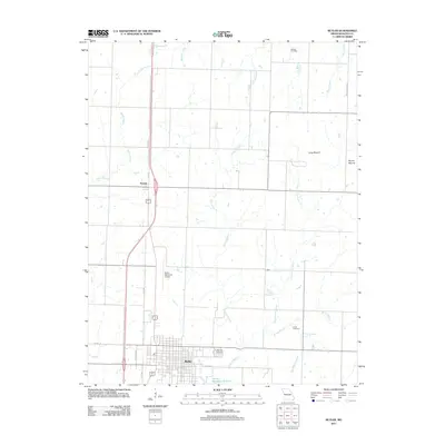
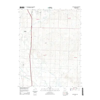
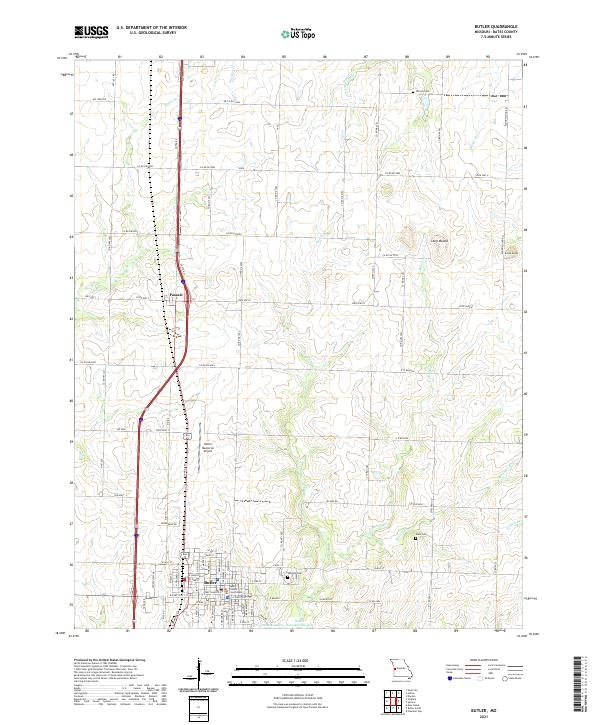 2021 Butler2021 Print · USGSThe Bates County seat and the surrounding Missouri prairie are documented here in the early twenty-first century. Researchers can locate family plots at Oak Hill Cem or trace the drainage of Mound Br near Long Mound.
 - 2021 Map of Butler South, 2021 Print
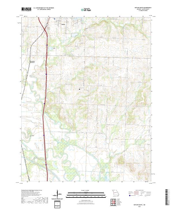 2021 Butler South2021 Print · USGSBates County at the start of the 2020s shows a landscape defined by prairie agriculture and extensive river drainage systems. Researchers can trace rural cemeteries and local watercourses like Fairview Cem, Lone Oak Br, and the Marais des Cygnes River.
End of results
Showing maps 1-17 of 17
Top cities near Butler
- Adrian historical maps
- Rich Hill historical maps
- Archie historical maps
- Spruce historical maps
- Pleasant Gap historical maps
- New Home historical maps
See more
Frequently asked questions
- What are the different types of historical maps available for Butler?
- What is the oldest map of Butler?
- Where can I purchase historical maps of Butler for my home or office?
- Where can I download high-res historical maps of Butler?
- Are there historical topographic maps available for Butler?
- Is there historical aerial imagery available for Butler?
- Where are historical maps of Butler sourced from?