2000s (21st Century) Maps of Warsaw, Missouri
Explore 16 historic maps of Warsaw from the 2000s (21st Century). These maps offer a rare glimpse into what life looked like during the 2000s — showing old roads, neighborhoods, homes, and landmarks that have changed or disappeared over time.
Whether you're researching your family's past, planning a metal detecting trip, or studying how Warsaw's landscape evolved across the 2000s, these high-resolution maps are a powerful tool for exploring the history of this region.
- Focus on a specific era: All maps on this page are from the 2000s, giving you a focused view of this time period.
- See what’s changed: Compare century-old streets, trails, and buildings to today's modern landscape using overlays and satellite layers.
- Research with precision: Use these maps for genealogy, historical research, land use analysis, or educational projects.
- View, download, or print: Maps are fully viewable online in high resolution, and can be downloaded or printed for your own records.
Start exploring Warsaw's history through authentic maps from the 2000s. This is your window into the past.
Warsaw, MO maps
(16)- 2011 Map of Lincoln SE, 2011 Print
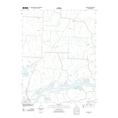 2011 Lincoln SE2011 Print · USGSBenton County at the start of the 2010s shows a landscape shaped by massive reservoirs and deep-rooted family history. Genealogists and local researchers can locate numerous burial grounds like Black Oak Cemetery and Drake Cemetery or trace landmarks like the Lincoln Lookout Tower.
 - 2011 Map of Shawnee Bend, 2011 Print
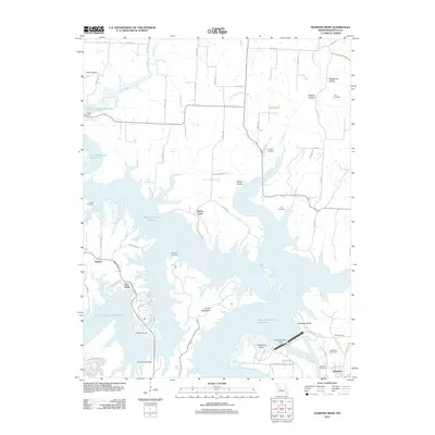 2011 Shawnee Bend2011 Print · USGSThe Benton County shoreline and the city of Warsaw are shown here in the early twenty-first century, following the massive hydrological shifts of the reservoir era. Genealogists can trace several local burial sites like Riverside Cemetery, Poe Cemetery, and Downing Cemetery.
 - 2011 Map of Warsaw West, 2011 Print
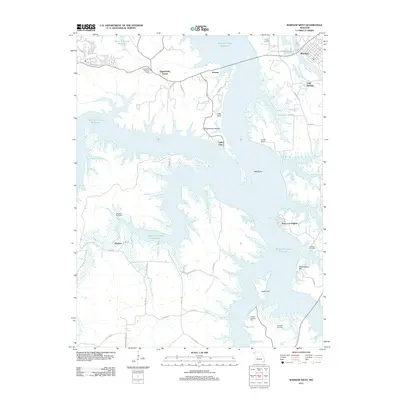 2011 Warsaw West2011 Print · USGSThe sprawling shoreline of the Harry S Truman Reservoir defines this portion of Benton County in 2011. Genealogists and historians can trace the persistence of rural communities through sites like Wisdom Cemetery, Pomme de Terre Hall, and the settlement of Wisdom.
 - 2011 Map of Warsaw East, 2011 Print
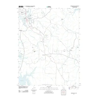 2011 Warsaw East2011 Print · USGSBenton County at the start of the decade shows the meeting of two major water projects, the Lake of the Ozarks and Harry S Truman Reservoir. Researchers can trace rural lineages at Pate Cemetery and White Cemetery, or locate old settlements like Old Fredonia and Gabriels Mills.
 - 2014 Map of Lincoln SE, 2014 Print
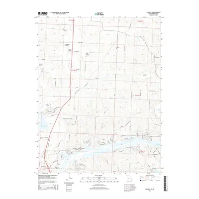 2014 Lincoln SE2014 Print · USGSBenton County at the meeting of two major reservoirs shows a landscape of deep hollows and evolving shoreline communities. Local researchers can locate numerous historic burial sites like Drake Cemetery and Mount Pleasant Cemetery or trace the early development of Little Valley Hollow.
 - 2014 Map of Shawnee Bend, 2014 Print
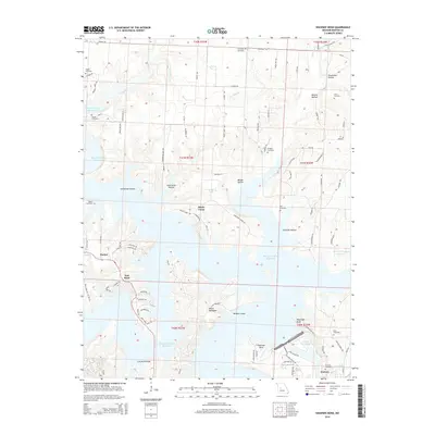 2014 Shawnee Bend2014 Print · USGSThe shorelines of the Harry S Truman Reservoir and Lake of the Ozarks meet in this modern look at Warsaw and the surrounding hollows. Local historians and genealogists can trace numerous family burial sites, including Sunnyside Cemetery, Dice Cemetery, and Baugh Cemetery.
 - 2015 Map of Warsaw West, 2015 Print
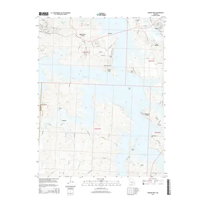 2015 Warsaw West2015 Print · USGSBenton County in the mid-2010s shows a landscape transformed by the waters of the Harry S Truman Reservoir and the Lake of the Ozarks. Researchers can trace old family sites and rural settlements including Wisdom, Tackner, and the Wisdom Cemetery.
 - 2015 Map of Warsaw East, 2015 Print
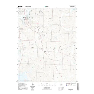 2015 Warsaw East2015 Print · USGSBenton County, Missouri, is captured here at the meeting of two major water bodies during the mid-2010s. Genealogists and historians can trace family locations near Gabriels Mills or locate local landmarks like Turkey Creek Cemetery and Dell Junction.
 - 2017 Map of Lincoln SE, 2017 Print
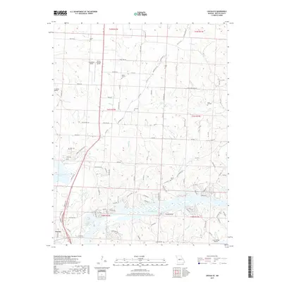 2017 Lincoln SE2017 Print · USGSBenton County at the height of its reservoir-driven geography shows the intersection of major water projects and local heritage. Genealogists can locate several family burial grounds like Black Oak Cem and Drake Cem tucked among hollows near the Lake of the Ozarks.
 - 2017 Map of Warsaw West, 2017 Print
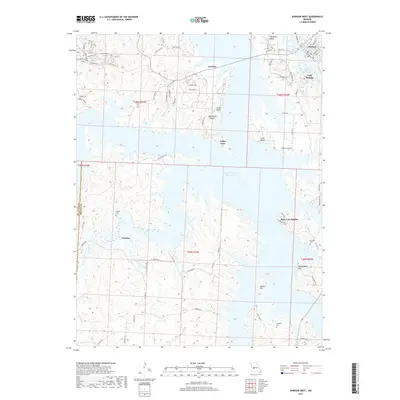 2017 Warsaw West2017 Print · USGSBenton County waterfronts and ridge-top settlements are seen here during the mid-2010s, where the Harry S Truman Reservoir meets the Lake of the Ozarks. Genealogists can locate family landmarks like Wisdom Cem and Crabtree Cem tucked among the hills near Wisdom.
 - 2017 Map of Warsaw East, 2017 Print
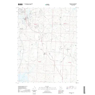 2017 Warsaw East2017 Print · USGSBenton County settlements and reservoirs are captured here in the years following the maturation of the regional park system. Genealogists and historians can trace the locations of numerous family and community burial sites like Post Oak Cem, New Home Cem, and the rural hub at Dell Junction.
 - 2017 Map of Shawnee Bend, 2017 Print
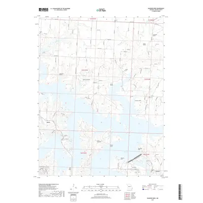 2017 Shawnee Bend2017 Print · USGSBenton County's river-cut landscape is transformed by the meeting of massive reservoirs in this mid-2010s survey. Researchers can trace family history at Riverside Cem and Osborn Cem or locate the distinctive ridge of Devils Backbone.
 - 2021 Map of Warsaw East, 2021 Print
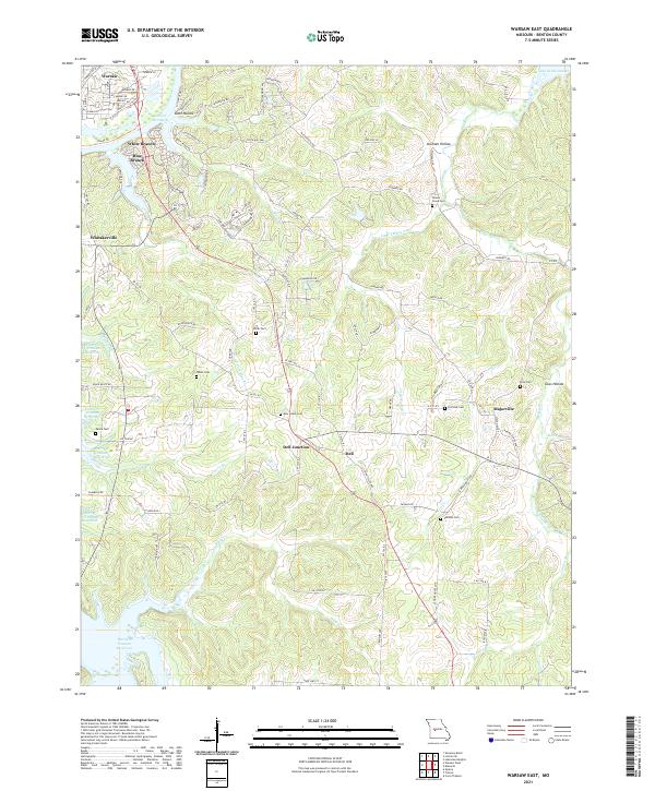 2021 Warsaw East2021 Print · USGSBenton County, Missouri, is shown here as the modern landscape of the Ozarks, where the great river impoundments meet. Local historians can trace family burial sites like Smith Cem and White Cem or locate the rural junctions of Dell Junction and Majorville.
 - 2021 Map of Warsaw West, 2021 Print
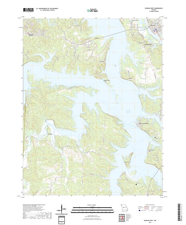 2021 Warsaw West2021 Print · USGSBenton County in the early 2020s shows a landscape defined by the expansive Harry S Truman Reservoir and the historic seat of Warsaw. Researchers can trace old family burial sites at Wisdom Cem and Crabtree Cem or locate the landmark Benton County Courthouse.
 - 2021 Map of Shawnee Bend, 2021 Print
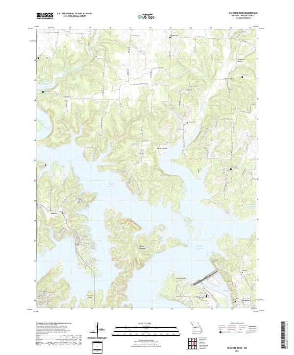 2021 Shawnee Bend2021 Print · USGSBenton County is shown at a time when the waters of the Harry S Truman Reservoir have reshaped the Missouri landscape. Researchers can trace family history through numerous burial sites like Baugh Cem and Poe Cem, or locate the crossing at Long Shoal Bridge.
 - 2021 Map of Lincoln SE, 2021 Print
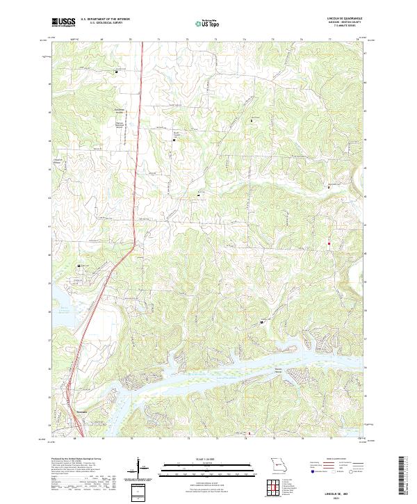 2021 Lincoln SE2021 Print · USGSBenton County at the start of the 2020s shows the winding shoreline of the Lake of the Ozarks and the northern edge of Warsaw. Genealogists and researchers can locate numerous historic burial sites, including Drake Cem, Feaster Cem, and Short Cem.
End of results
Showing maps 1-16 of 16
Top cities near Warsaw
- Cole Camp historical maps
- Lincoln historical maps
- Leesville historical maps
- Cross Timbers historical maps
- Tightwad historical maps
- Iconium historical maps
Frequently asked questions
- What are the different types of historical maps available for Warsaw?
- What is the oldest map of Warsaw?
- Where can I purchase historical maps of Warsaw for my home or office?
- Where can I download high-res historical maps of Warsaw?
- Are there historical topographic maps available for Warsaw?
- Is there historical aerial imagery available for Warsaw?
- Where are historical maps of Warsaw sourced from?