2000s (21st Century) Maps of Tallent, Missouri
Explore 5 historic maps of Tallent from the 2000s (21st Century). These maps offer a rare glimpse into what life looked like during the 2000s — showing old roads, neighborhoods, homes, and landmarks that have changed or disappeared over time.
Whether you're researching your family's past, planning a metal detecting trip, or studying how Tallent's landscape evolved across the 2000s, these high-resolution maps are a powerful tool for exploring the history of this region.
- Focus on a specific era: All maps on this page are from the 2000s, giving you a focused view of this time period.
- See what’s changed: Compare century-old streets, trails, and buildings to today's modern landscape using overlays and satellite layers.
- Research with precision: Use these maps for genealogy, historical research, land use analysis, or educational projects.
- View, download, or print: Maps are fully viewable online in high resolution, and can be downloaded or printed for your own records.
Start exploring Tallent's history through authentic maps from the 2000s. This is your window into the past.
Tallent, MO maps
(5)- 2000 Map of Hurricane, 2003 Print
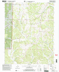 2000 Hurricane2003 Print · USGSBollinger County at the turn of the millennium shows a landscape of deep hollows and high ridges within the Mark Twain National Forest. Local historians can locate community pillars like Younts Store, New Bethel Ch, and the Slinkard Cem.
 - 2011 Map of Hurricane, 2011 Print
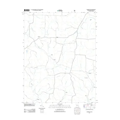 2011 Hurricane2011 Print · USGSCovers Tallent, including Hurricane, Loyd, and other nearby areas
 - 2015 Map of Hurricane, 2015 Print
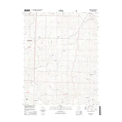 2015 Hurricane2015 Print · USGSCovers Tallent, including Hurricane, Loyd, and other nearby areas
 - 2017 Map of Hurricane, 2017 Print
 2017 Hurricane2017 Print · USGSCovers Tallent, including Hurricane, Loyd, and other nearby areas
 - 2021 Map of Hurricane, 2021 Print
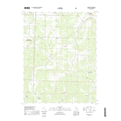
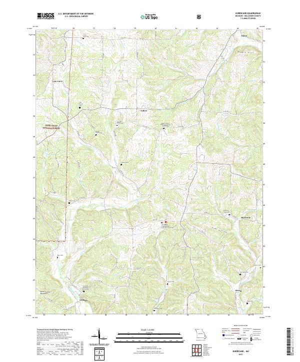 2021 Hurricane2021 Print · USGSBollinger County in the early 2020s remains a landscape of quiet crossroads and historic community anchors. Researchers can trace local genealogy through numerous rural burial sites like Union Light Cem, Slinkard Cem, and the Old Union Methodist Church Cem.
End of results
Showing maps 1-5 of 5
Top cities near Tallent
- Fredericktown historical maps
- Marble Hill historical maps
- Junction City historical maps
- Marquand historical maps
- Sedgewickville historical maps
Frequently asked questions
- What are the different types of historical maps available for Tallent?
- What is the oldest map of Tallent?
- Where can I purchase historical maps of Tallent for my home or office?
- Where can I download high-res historical maps of Tallent?
- Are there historical topographic maps available for Tallent?
- Is there historical aerial imagery available for Tallent?
- Where are historical maps of Tallent sourced from?