Old Maps of Morocco, Missouri for Hiking & Exploration
Hike through history with 11 historic maps of Morocco. Explore old trails, ghost towns, and forgotten backroads — perfect for outdoor adventurers and local explorers.
- Rediscover forgotten places: Map out old mining camps, roads, and footpaths that no longer exist on modern maps.
- Layer with modern tools: Combine with LiDAR or satellite views to plan hikes through historical terrain.
- Made for exploration: Popular among hikers, overlanders, and local history lovers.
Use these maps to find adventure and explore the hidden past of Morocco.
Morocco, MO maps
(11)- 1935 Map of Harviell, 1943 Print
 1935 Harviell1943 Print · USGSButler County in the mid-1930s was a landscape of river bends and scattered rural schoolhouses along the St Louis San Francisco Railroad. Genealogists can trace family roots at Black Creek Ch & Cem or locate vanished local schools like Gillis Bluff Sch and Havam Sch.2 unique versions available
 - 1957 Map of Poplar Bluff, 1968 Print
 1957 Poplar Bluff1968 Print · USGSThe Missouri-Arkansas border region is captured here as the timber and rail industries shaped the Ozark foothills. Genealogists and historians can trace the Missouri Pacific Railroad through river towns like Pocahontas, Greenville, and Van Buren.3 unique versions available
 - 1959 Map of Poplar Bluff
 1959 Poplar Bluff1959 Print · USGSThe Missouri Ozarks and Arkansas borderlands meet in this late 1950s study of the region's diverse terrain and rail-fed towns. Researchers can trace the path of the Missouri Pacific Railroad through Poplar Bluff or locate smaller settlements like Birch Tree and Myrtle.
 - 1960 Map of Poplar Bluff
 1960 Poplar Bluff1960 Print · USGSSoutheast Missouri and Northeast Arkansas are captured here during the post-war era, showing the transition from the Ozark highlands to the Delta. Genealogists and historians can trace rail corridors like the St. Louis Southwestern RR and remote settlements such as Birch Tree and Warm Springs.
 - 1963 Map of Hanleyville, 1965 Print
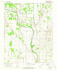 1963 Hanleyville1965 Print · USGSSoutheast Missouri in the early sixties reveals a landscape of river-bottom settlements and rural congregations. Trace local history through the many country schools and churches like Big Island Sch, Landreth Chapel, and Liberty Ch.
 - 1964 Map of Harviell, 1968 Print
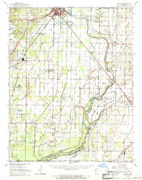 1964 Harviell1968 Print · USGSButler County in the mid-sixties reveals a landscape defined by the drainage of the Missouri Bootheel and the growth of Poplar Bluff. Genealogists can trace family names at Melton Cem and Kelly Cem or locate vanished rural schoolhouses like Willow Oak Sch.3 unique versions available
 - 1983 Map of Poplar Bluff
 1983 Poplar Bluff1983 Print · USGSSoutheast Missouri in the early 1980s reveals a landscape defined by the Ozark foothills and the complex drainage systems of the Bootheel. Researchers can trace the rail corridors of the Missouri Pacific RR through Poplar Bluff or locate rural sites like Wilhelmina Church and Lone Hill Lookout.
 - 2011 Map of Hanleyville, 2011 Print
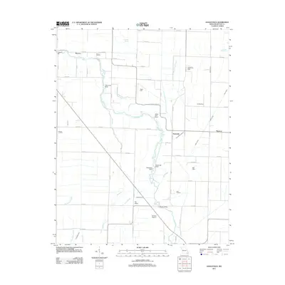 2011 Hanleyville2011 Print · USGSButler County, Missouri, at the start of the 2010s reveals a rural landscape shaped by the Black River and its many winding bends. Researchers can trace family sites near Morocco, locate Ashcraft Cemetery, and follow old drainage routes like Snyder Ditch.
 - 2015 Map of Hanleyville, 2015 Print
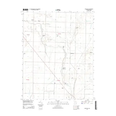 2015 Hanleyville2015 Print · USGSButler County's river-bottom lands are mapped here in the mid-2010s, showing a landscape defined by the shifting currents of the Black River. Researchers can trace old family burial grounds like Morocco Cemetery and navigate the bends of the river from Deadmans Bend to Hargove Bridge.
 - 2017 Map of Hanleyville, 2017 Print
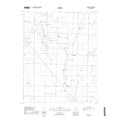 2017 Hanleyville2017 Print · USGSButler County's river-driven landscape is captured here in the late 2010s, showcasing the intricate bottomlands along the Black River. Researchers can trace old property boundaries and drainage patterns through landmarks like the Hargove Bridge, Morocco Cem, and Hanleyville.
 - 2021 Map of Hanleyville, 2021 Print
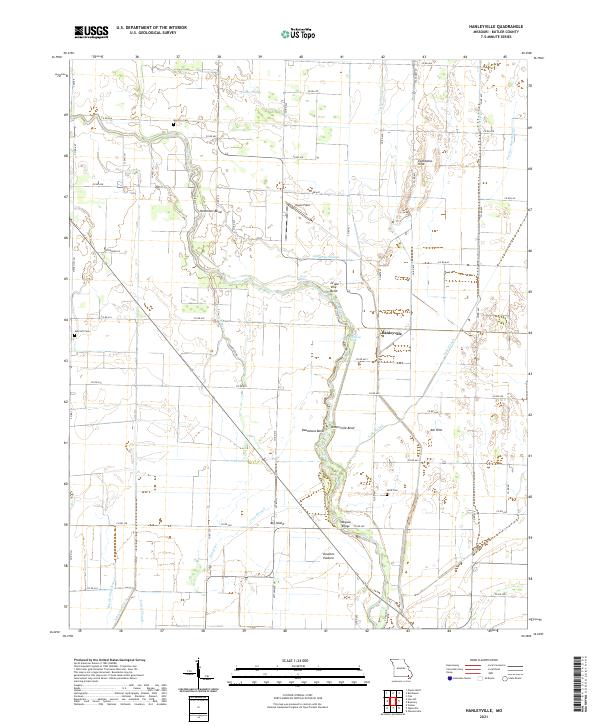 2021 Hanleyville2021 Print · USGSButler County, Missouri, is shown here as a landscape defined by the winding Black River and its intricate network of sloughs and ditches. Researchers can trace land use through named features like Doolens Pasture, Hayes Field, and the Morocco Cem.
End of results
Showing maps 1-11 of 11
Top cities near Morocco
- Poplar Bluff historical maps
- Puxico historical maps
- Neelyville historical maps
- Qulin historical maps
- Fisk historical maps
Frequently asked questions
- What are the different types of historical maps available for Morocco?
- What is the oldest map of Morocco?
- Where can I purchase historical maps of Morocco for my home or office?
- Where can I download high-res historical maps of Morocco?
- Are there historical topographic maps available for Morocco?
- Is there historical aerial imagery available for Morocco?
- Where are historical maps of Morocco sourced from?