Old Maps of Decatur, Cape Girardeau for Genealogy
Trace your family roots with 16 historic maps of Decatur. These high-res maps reveal old neighborhoods, homesites, landmarks, and streets — helping you uncover where your ancestors lived and how the area evolved over time.
- Explore historic neighborhoods: Identify where your relatives may have lived in the 1800s or 1900s.
- Compare maps over time: Trace the changes in streets, buildings, and landmarks for multi-generational research.
- Perfect for genealogy & ancestry research: Used by family historians and researchers to map out lineage and migration.
These maps are an incredible resource for exploring your personal connection to Decatur's past.
Decatur, Cape Girardeau maps
(16)- 1922 Map of Cape Girardeau, 1954 Print
 1922 Cape Girardeau1954 Print · USGSThe Missouri-Illinois riverfront was a bustling corridor of rail and river commerce in the early 1920s. Genealogists can trace family names through dozens of rural landmarks like Rock Hill Church, Needmore School, and the river landing at Neelys Landing.3 unique versions available
 - 1924 Map of Cape Girardeau
 1924 Cape Girardeau1924 Print · USGSCape Girardeau County in the early twenties shows a bustling riverfront and a landscape dotted with over twenty rural schoolhouses. Genealogists can trace family roots near Needmore School, Pocahontas Sta, and the historic Pleasant Hill Church.2 unique versions available
 - 1949 Map of Paducah
 1949 Paducah1949 Print · USGSThe confluence of the Ohio, Mississippi, Tennessee, and Cumberland rivers at the close of the 1940s reveals a region bound by water and rail. Researchers can trace historic river landings, timberlands in the Shawnee National Forest, and the coal-mining infrastructure around West Frankfort and Herrin.2 unique versions available
 - 1950 Map of Paducah
 1950 Paducah1950 Print · USGSThe confluence of the great midwestern rivers defines this mid-century landscape at the intersection of Illinois, Kentucky, and Missouri. Genealogists and historians can trace the rail-and-river economy through the hubs of Paducah, Cairo, and Metropolis or locate family roots near the Wildcat Hills.
 - 1954 Map of Paducah
 1954 Paducah1954 Print · USGSSouthern Illinois and Western Kentucky intersect at the great river confluences during this mid-century era of rail and river industry. Genealogists and historians can trace family roots and commerce through river towns like Cairo, Metropolis, and Golconda, or along the tracks of the Illinois Central Railroad.2 unique versions available
 - 1961 Map of Paducah
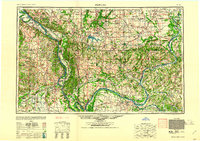 1961 Paducah1961 Print · USGSThe Lower Ohio Valley at mid-century is a landscape defined by its great rivers and newly formed reservoirs. Researchers can trace the riverfronts of Paducah and Metropolis, or locate smaller settlements like Old Shawneetown and Cave in Rock along the banks.2 unique versions available
 - 1964 Map of Paducah
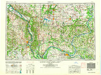 1964 Paducah1964 Print · USGSThe river-and-rail corridor of Southern Illinois and Western Kentucky is captured here during the height of the mid-century industrial era. Genealogists and researchers can trace local landmarks across several counties, from the rail yards of Paducah to the waters of Crab Orchard Lake and Kentucky Reservoir.2 unique versions available
 - 1967 Map of Cape Girardeau, 1968 Print
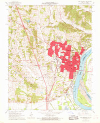 1967 Cape Girardeau1968 Print · USGSCape Girardeau is shown here as a thriving river city and educational hub during the late sixties. Researchers can trace institutional footprints like Southeast Missouri State College or find family history at Old Hanover Cem and St Marys Cem.2 unique versions available
 - 1984 Map of Cape Girardeau, 1985 Print
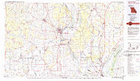 1984 Cape Girardeau1985 Print · USGSThe tri-state junction of Missouri, Illinois, and Kentucky in the mid-1980s was a bustling corridor defined by its massive river systems and complex rail lines. Researchers can trace the paths of the Missouri Pacific RR, explore the Shawnee National Forest, or locate small settlements like Marble Hill and Advance.
 - 1986 Map of Cape Girardeau
 1986 Cape Girardeau1986 Print · USGSThe Missouri-Illinois-Kentucky borderlands come into focus in the mid-1980s as the river-and-rail economy shapes the landscape near the Great Rivers confluence. Researchers can trace historic rail lines and old settlements like Gordonville, New Hamburg, and the Trail of Tears State Park.
 - 1987 Map of Paducah, 1988 Print
 1987 Paducah1988 Print · USGSThe Lower Ohio Valley and the Illinois Ozarks come alive in this late twentieth-century regional survey. Genealogists and local historians can trace river-town roots and state park landmarks from Metropolis to Cape Girardeau and Trail of Tears State Park.
 - 1993 Map of Cape Girardeau, 1995 Print
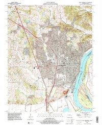 1993 Cape Girardeau1995 Print · USGSCape Girardeau sits at a crossroads of river commerce and university life in the early nineties. Genealogists and local historians can trace family plots at Old Hanover Cem and Salem Cem or explore the rural character of Mount Tabor.2 unique versions available
 - 2012 Map of Cape Girardeau, 2012 Print
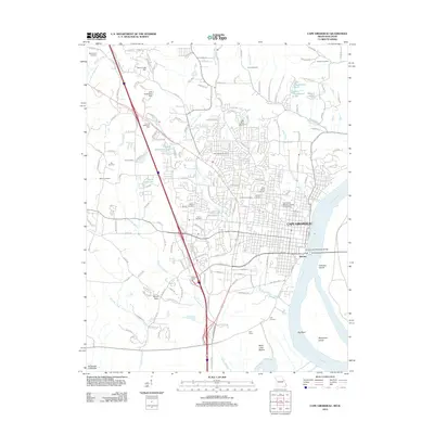 2012 Cape Girardeau2012 Print · USGSCape Girardeau sits at a vital bend in the Mississippi River during the early 21st century, balancing its role as a regional educational hub and river port. Genealogists can locate several historic burial sites like Lorimier Cemetery and McKendree Cemetery, or trace the rail landscape near Gulf Junction.
 - 2015 Map of Cape Girardeau, 2015 Print
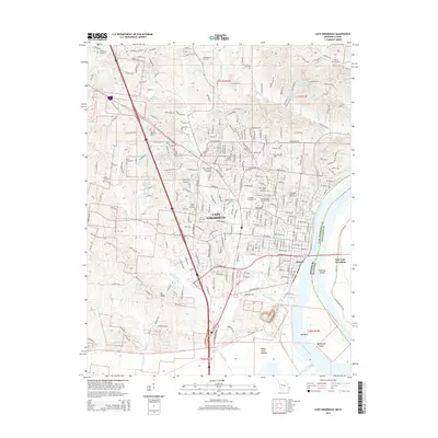 2015 Cape Girardeau2015 Print · USGSCape Girardeau and its riverfront neighborhoods appear in detail as they were in the mid-2010s, showing a mix of historic cemeteries and modern university grounds. Researchers can trace family sites like McKendree Cemetery and Salem Church or follow the Burlington Northern Santa Fe RR along the Mississippi River.
 - 2017 Map of Cape Girardeau, 2017 Print
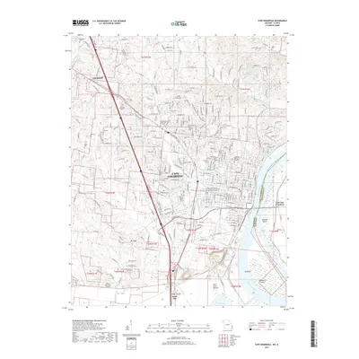 2017 Cape Girardeau2017 Print · USGSCape Girardeau and the Mississippi River bottomlands are captured here during a period of significant regional growth. Genealogists and researchers can trace local lineage through numerous sites like Old Lorimier Cem, Hitt Cem, and the Southeast Missouri State University campus.
 - 2021 Map of Cape Girardeau, 2021 Print
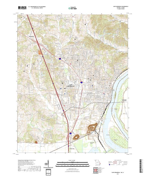 2021 Cape Girardeau2021 Print · USGSThe Mississippi River riverfront in the early 2020s shows the dense settlement of Cape Girardeau and its northern neighbor Jackson. Researchers can locate numerous family-named landmarks and burial sites like Old Lorimier Cem and the Old McKendree Cem.
End of results
Showing maps 1-16 of 16
Top cities near Decatur
- Cape Girardeau historical maps
- Jackson historical maps
- Scott City historical maps
- Chaffee historical maps
- Oran historical maps
- Benton historical maps
See more
Frequently asked questions
- What are the different types of historical maps available for Decatur?
- What is the oldest map of Decatur?
- Where can I purchase historical maps of Decatur for my home or office?
- Where can I download high-res historical maps of Decatur?
- Are there historical topographic maps available for Decatur?
- Is there historical aerial imagery available for Decatur?
- Where are historical maps of Decatur sourced from?