Old Maps of Ore, Missouri for Genealogy
Trace your family roots with 13 historic maps of Ore. These high-res maps reveal old neighborhoods, homesites, landmarks, and streets — helping you uncover where your ancestors lived and how the area evolved over time.
- Explore historic neighborhoods: Identify where your relatives may have lived in the 1800s or 1900s.
- Compare maps over time: Trace the changes in streets, buildings, and landmarks for multi-generational research.
- Perfect for genealogy & ancestry research: Used by family historians and researchers to map out lineage and migration.
These maps are an incredible resource for exploring your personal connection to Ore's past.
Ore, MO maps
(13)- 1887 Map of Harrisonville
 1887 Harrisonville1887 Print · USGSMissouri's western borderlands are seen here during the rail boom of the late nineteenth century. Genealogists and historians can trace the early development of Harrisonville and Lees Summit, alongside smaller settlements like Lone Jack, Peculiar, and Garden City.
 - 1892 Map of Harrisonville, 1902 Print
 1892 Harrisonville1902 Print · USGSWestern Missouri comes into focus during the late nineteenth-century rail boom as new townships and post offices began to dot the prairie. Trace the development of early rail hubs like Harrisonville and Pleasant Hill or locate old community centers such as Chapel Hill and Daugherty (Eight Mile P. O.).2 unique versions available
 - 1894 Map of Harrisonville
 1894 Harrisonville1894 Print · USGSCass and Jackson counties come to life in the 1890s as a burgeoning rail network links remote prairie outposts. Genealogists can trace early homesteads and mail stops like Daugherty (Eight Mile P. O.), Peculiar, and Lone Jack.
 - 1947 Map of Lawrence, 1954 Print
 1947 Lawrence1954 Print · USGSEastern Kansas and western Missouri thrive in the late 1940s, showing a landscape defined by major river valleys and a dense railway network. Genealogists can trace family settlements from Lawrence to Greenwood and locate landmarks like Olathe Navy and Lake Lotawana.
 - 1950 Map of Lawrence
 1950 Lawrence1950 Print · USGSMid-century Kansas and Missouri come alive in this map of the river-valley corridors just as the interstate era was beginning. Researchers can trace the legacy of major rail lines like the Union Pacific RR and locate ancestral roots in towns from Lawrence to Harrisonville.
 - 1954 Map of Harrisonville, 1955 Print
 1954 Harrisonville1955 Print · USGSHarrisonville at the midpoint of the twentieth century is a busy rail hub where three major lines meet. Genealogists can trace early rural life through numerous one-room schoolhouses like Walnut Grove Sch and family burial sites like Orient Cem.2 unique versions available
 - 1956 Map of Lawrence, 1967 Print
 1956 Lawrence1967 Print · USGSEastern Kansas and the Missouri border country are captured here during the mid-century transition to the interstate era. Genealogists and local historians can trace family-named terrain like Summers Mound and the footprint of Sunflower Ordnance Works near Baldwin City.4 unique versions available
 - 1961 Map of Lawrence
 1961 Lawrence1961 Print · USGSThe Kansas-Missouri borderland shows its mid-century transition from a rail-dependent agricultural region to a suburbanizing landscape. Genealogists can trace family footprints through numerous Cem sites and distinctive terrain landmarks like Graves Mound and Summers Mound.
 - 1983 Map of Olathe, 1984 Print
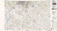 1983 Olathe1984 Print · USGSThe Kansas-Missouri borderlands hum with suburban growth and historic transit routes in the early eighties. Researchers can trace the Santa Fe Trail across a landscape featuring Richards-Gebaur Air Force Base and Hillsdale Lake.
 - 2011 Map of Harrisonville, 2011 Print
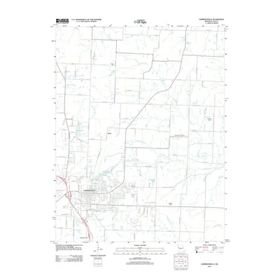 2011 Harrisonville2011 Print · USGSHarrisonville and its rural Cass County surroundings are captured here in the early twenty-first century as the city expanded into the rolling farmland. Researchers can locate family heritage sites like Harris Cemetery and Pitts Chapel Cemetery or trace the many branches of Polecat Creek.
 - 2015 Map of Harrisonville, 2015 Print
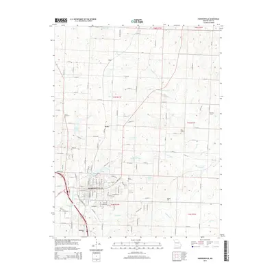 2015 Harrisonville2015 Print · USGSHarrisonville and its rural outskirts are captured in this recent survey during a period of steady Midwestern growth. Researchers can trace land boundaries near Harrisonville and locate ancestral sites at Orient Cemetery, Harris Cemetery, or Pitts Chapel Cemetery.
 - 2017 Map of Harrisonville, 2017 Print
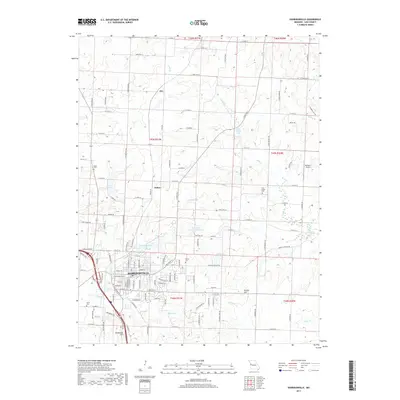 2017 Harrisonville2017 Print · USGSHarrisonville and its rural surroundings in Cass County are captured in this recent survey. Researchers can trace local genealogy at Orient Cem or Harris Cem, and explore regional aviation history at Richters Airport.
 - 2021 Map of Harrisonville, 2021 Print
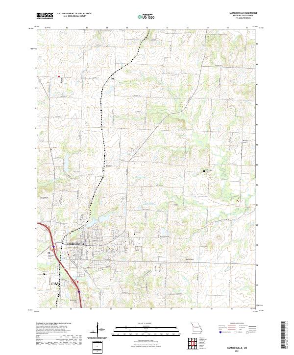 2021 Harrisonville2021 Print · USGSHarrisonville and its rural surroundings in Cass County are documented here during a period of contemporary growth. Researchers can trace local lineage through several burial sites like Harris Cem and Orient Cem, or locate the smaller communities of Ore and Huber.
End of results
Showing maps 1-13 of 13
Top cities near Ore
- Kansas City historical maps
- Lee's Summit historical maps
- Blue Springs historical maps
- Grandview historical maps
- Belton historical maps
- Raymore historical maps
See more
Frequently asked questions
- What are the different types of historical maps available for Ore?
- What is the oldest map of Ore?
- Where can I purchase historical maps of Ore for my home or office?
- Where can I download high-res historical maps of Ore?
- Are there historical topographic maps available for Ore?
- Is there historical aerial imagery available for Ore?
- Where are historical maps of Ore sourced from?