Old Maps of Acasto, Missouri for Metal Detecting
Plan your next treasure hunt with 11 historic maps of Acasto. Find old homesites, ghost towns, trails, and gathering spots that may be lost to time — perfect for identifying promising metal detecting locations.
- Locate forgotten sites: Uncover places like long-lost settlements, abandoned rail lines, or gathering spots.
- Plan better hunts: Use map overlays combined with LiDAR or satellite views to narrow in on historically rich areas.
- Made for detectorists: Thousands of hobbyists use these maps to discover relics, coins, and hidden history.
Use these historic maps to boost your research and find new opportunities beneath the surface of Acasto.
Acasto, MO maps
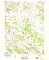
(11)- 1958 Map of Burlington, 1968 Print
 1958 Burlington1968 Print · USGSThe tri-state river country of Iowa, Illinois, and Missouri is captured here in the mid-fifties, dominated by the Mississippi River and major rail lines. Genealogists and historians can trace the development of river towns like Keokuk or locate the sprawling Iowa Army Ammunition Plant.4 unique versions available
 - 1961 Map of Burlington
 1961 Burlington1961 Print · USGSThe tri-state borderlands along the Mississippi River are captured here during the late fifties and early sixties, showing the vital river-and-rail economy of Iowa, Illinois, and Missouri. Genealogists and historians can trace the development of major hubs like Galesburg and Macomb alongside landmark sites such as the Iowa Ordnance Plant and the historic river town of Nauvoo.
 - 1963 Map of Burlington
 1963 Burlington1963 Print · USGSThe tri-state river country of the Mississippi and Illinois valleys comes alive in this mid-century survey. Genealogists and historians can trace the industrial and academic growth of the region, from the Iowa Ordnance Plant to campuses like Knox College and Western Illinois University.
 - 1968 Map of Anson, 1970 Print
 1968 Anson1970 Print · USGSThe Fox River valley along the Missouri-Iowa border is documented here in the late sixties. Genealogists and local historians can trace family burial sites and rural institutions like St Thomas Cem, Duncan Sch, and the settlement at Chambersburg.2 unique versions available
 - 1985 Map of Burlington
 1985 Burlington1985 Print · USGSThe Tri-State region during the mid-eighties shows a landscape shaped by the Mississippi River and a dense network of railroads. Genealogists and local historians can trace family sites near Aspen Grove Cem or locate community landmarks in Burlington, Fort Madison, and Mount Pleasant.2 unique versions available
 - 1990 Map of Burlington
 1990 Burlington1990 Print · USGSThe tri-state confluence of Iowa, Illinois, and Missouri is mapped here at the end of the twentieth century. Genealogists and historians can trace the riverfront heritage of Burlington, Keokuk, and Fort Madison, or locate sites like the Battle of Athens State Historic Site.2 unique versions available
 - 2010 Map of Anson, 2010 Print
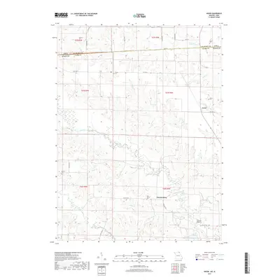
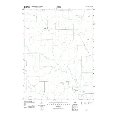 2010 Anson2010 Print · USGSCovers Acasto, including Chambersburg, Anson, and other nearby areas
 - 2012 Map of Anson, 2012 Print
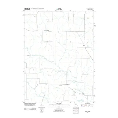 2012 Anson2012 Print · USGSCovers Acasto, including Chambersburg, Anson, and other nearby areas
 - 2014 Map of Anson, 2014 Print
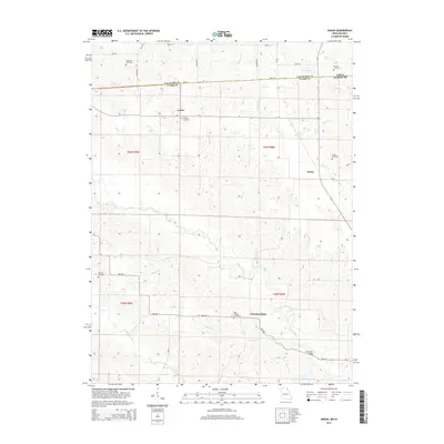 2014 Anson2014 Print · USGSCovers Acasto, including Chambersburg, Anson, and other nearby areas
 - 2017 Map of Anson, 2017 Print
 2017 Anson2017 Print · USGSCovers Acasto, including Chambersburg, Anson, and other nearby areas
 - 2021 Map of Anson, 2021 Print
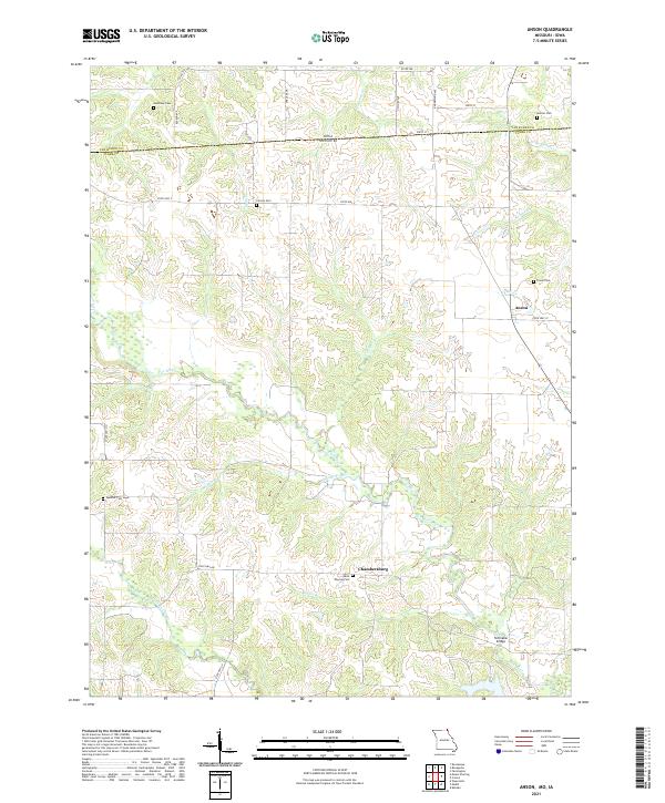 2021 Anson2021 Print · USGSNorthern Missouri and the Iowa borderlands are captured here in the early 2020s, showcasing a rural landscape shaped by the Fox River and its many branches. Genealogists can locate numerous local burial grounds including Christy Cem, Spencer Cem, and the settlement of Chambersburg.
End of results
Showing maps 1-11 of 11
Top cities near Acasto
- Kahoka historical maps
- Keosauqua historical maps
- Farmington historical maps
- Bonaparte historical maps
- Wyaconda historical maps
- Houghton historical maps
See more
Frequently asked questions
- What are the different types of historical maps available for Acasto?
- What is the oldest map of Acasto?
- Where can I purchase historical maps of Acasto for my home or office?
- Where can I download high-res historical maps of Acasto?
- Are there historical topographic maps available for Acasto?
- Is there historical aerial imagery available for Acasto?
- Where are historical maps of Acasto sourced from?