Old Maps of Turney, Missouri
Explore 11 old maps of Turney, spanning from 1925 to today. These high-resolution historic maps reveal how streets, neighborhoods, landmarks, and natural features evolved over time — perfect for genealogy, metal detecting, research, and local history exploration.
What you can do with these maps:
- See how Turney changed over time: Compare historical maps to modern-day views to trace roads, homesites, rail lines & more.
- View detailed metadata: Each map includes creators, publishers, year, scale, and archive source.
- Overlay maps with satellite & LiDAR: Visualize the past alongside modern tools to explore terrain & human change.
- Trusted historical sources: Maps sourced from the USGS, Library of Congress, and other archives.
- Access maps your way: View online, download high-res files, or order prints for personal or research use.
Start exploring old maps of Turney to uncover forgotten places, hidden landmarks, and the deep history beneath your feet.
Turney, MO maps
(11)- 1925 Map of Plattsburg
 1925 Plattsburg1925 Print · USGSMid-1920s Clinton County is captured here at a peak of rural development, dominated by family farms and an extensive railroad network. Genealogists and historians can trace numerous country schools and churches like Log Church School and Smith Fork Church alongside the rail hubs of Plattsburg and Lathrop.4 unique versions available
 - 1950 Map of Kansas City
 1950 Kansas City1950 Print · USGSMid-century Kansas and Missouri are captured here during a period of industrial growth and shifting transportation. Genealogists and historians can trace rail lines like the Wabash RR or locate ancestral homes near the Potawatomi Indian Reservation and Horton.
 - 1954 Map of Kansas City
 1954 Kansas City1954 Print · USGSThe Missouri-Kansas borderlands flourished in the post-war era as river commerce and rail networks converged at the Missouri River. Genealogists and historians can trace the foundations of Kansas City and smaller rural hubs like Hiawatha or Sabetha.
 - 1956 Map of Kansas City, 1967 Print
 1956 Kansas City1967 Print · USGSThe Kansas-Missouri border region thrived during the mid-fifties, centered on the growing metropolitan cores and the busy river valleys. Researchers can trace the layout of significant government sites like Fort Leavenworth and the Lake City Army Ammunition Plant.4 unique versions available
 - 1960 Map of Kansas City
 1960 Kansas City1960 Print · USGSMid-century Kansas and Missouri meet at the river forks, showing a sprawling rail-and-river economy during the 1950s growth era. Genealogists and researchers can trace tribal lands like the Kickapoo Indian Reservation or follow the early interstate corridors through Saint Joseph and Independence.3 unique versions available
 - 1984 Map of Cameron West
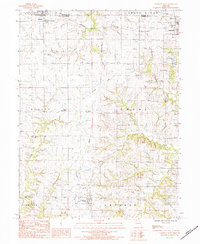 1984 Cameron West1984 Print · USGSClinton and De Kalb counties are documented in the early 1980s, showing a landscape of traditional farming towns and evolving rail infrastructure. Genealogists and local historians can trace family locations near Osborn-Evergreen Cem, Smith Fork Ch, or the rural junction at West Keystone.
 - 1986 Map of Saint Joseph
 1986 Saint Joseph1986 Print · USGSNorthwest Missouri thrived as a regional transportation and educational hub during the mid-eighties, centered on the historic river city of Saint Joseph. Researchers can locate specific local landmarks like Burlington Cemetery, Pigeon Hill Church, and the winding Pony Express Trail.2 unique versions available
 - 2012 Map of Cameron West, 2012 Print
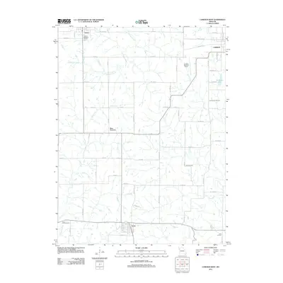 2012 Cameron West2012 Print · USGSThe rural plains of western Missouri come into focus here during the early twenty-first century. Genealogists and local historians can trace the grid of country roads to Osborn-Evergreen Cemetery, Turney, and Round Prairie Cemetery.
 - 2015 Map of Cameron West, 2015 Print
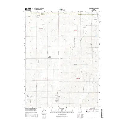 2015 Cameron West2015 Print · USGSDeKalb and Clinton counties meet in this Missouri landscape during the mid-2010s, showing a transition from town to farmland. Genealogists can trace family history through sites like Osborn-Evergreen and Turney Cemetery, or locate the hamlet of West Keystone.
 - 2017 Map of Cameron West, 2017 Print
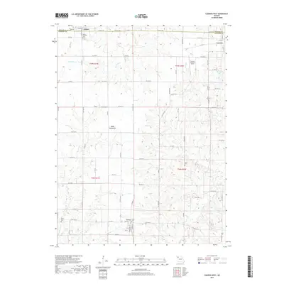 2017 Cameron West2017 Print · USGSDeKalb and Clinton counties meet here in the Missouri countryside during the late twenty-tens, where small settlements like Turney and Osborn dot the landscape. Researchers can trace family history through sites like Saint Munchin Cemetery and Harlan Cemetery or locate the headwaters of the Little Platte River.
 - 2021 Map of Cameron West, 2021 Print
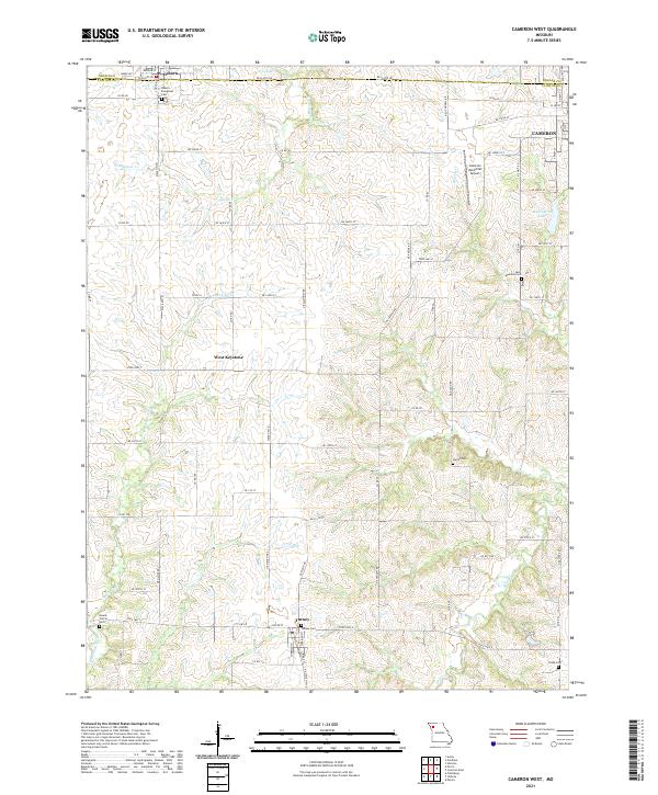 2021 Cameron West2021 Print · USGSThe Clinton County countryside comes into focus at the start of the 2020s, revealing a landscape of rolling drainages and rural settlements. Genealogists can trace family heritage through local landmarks like Turney Cem, Round Prairie Cem, and the quiet community of West Keystone.
End of results
Showing maps 1-11 of 11
Top cities near Turney
- Cameron historical maps
- Lawson historical maps
- Lathrop historical maps
- Plattsburg historical maps
- Stewartsville historical maps
- Holt historical maps
See more
Frequently asked questions
- What are the different types of historical maps available for Turney?
- What is the oldest map of Turney?
- Where can I purchase historical maps of Turney for my home or office?
- Where can I download high-res historical maps of Turney?
- Are there historical topographic maps available for Turney?
- Is there historical aerial imagery available for Turney?
- Where are historical maps of Turney sourced from?