2000s (21st Century) Maps of St. Thomas, Missouri
Explore 8 historic maps of St. Thomas from the 2000s (21st Century). These maps offer a rare glimpse into what life looked like during the 2000s — showing old roads, neighborhoods, homes, and landmarks that have changed or disappeared over time.
Whether you're researching your family's past, planning a metal detecting trip, or studying how St. Thomas's landscape evolved across the 2000s, these high-resolution maps are a powerful tool for exploring the history of this region.
- Focus on a specific era: All maps on this page are from the 2000s, giving you a focused view of this time period.
- See what’s changed: Compare century-old streets, trails, and buildings to today's modern landscape using overlays and satellite layers.
- Research with precision: Use these maps for genealogy, historical research, land use analysis, or educational projects.
- View, download, or print: Maps are fully viewable online in high resolution, and can be downloaded or printed for your own records.
Start exploring St. Thomas's history through authentic maps from the 2000s. This is your window into the past.
St. Thomas, MO maps
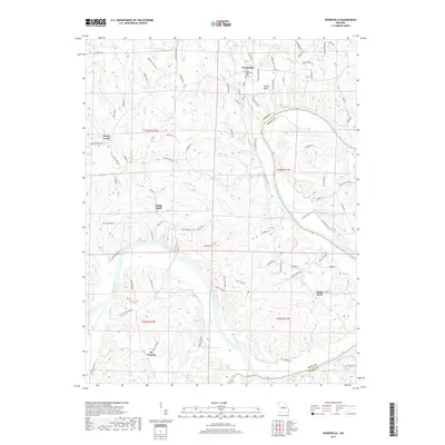
(8)- 2011 Map of Wardsville, 2011 Print
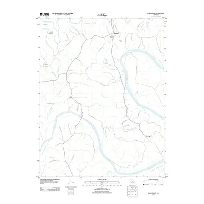 2011 Wardsville2011 Print · USGSCovers St. Thomas, including Wardsville, Honey Creek, and other nearby areas
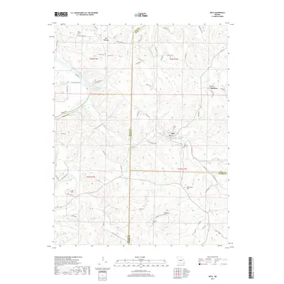
 - 2011 Map of Meta, 2011 Print
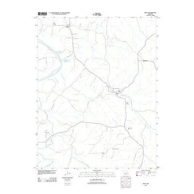 2011 Meta2011 Print · USGSCovers St. Thomas, including Meta, Teal, and other nearby areas
 - 2015 Map of Meta, 2015 Print
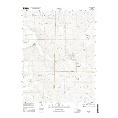 2015 Meta2015 Print · USGSCovers St. Thomas, including Meta, Teal, and other nearby areas
 - 2015 Map of Wardsville, 2015 Print
 2015 Wardsville2015 Print · USGSCovers St. Thomas, including Wardsville, Honey Creek, and other nearby areas
 - 2017 Map of Meta, 2017 Print
 2017 Meta2017 Print · USGSCovers St. Thomas, including Meta, Teal, and other nearby areas
 - 2017 Map of Wardsville, 2017 Print
 2017 Wardsville2017 Print · USGSCovers St. Thomas, including Wardsville, Honey Creek, and other nearby areas
 - 2021 Map of Meta, 2021 Print
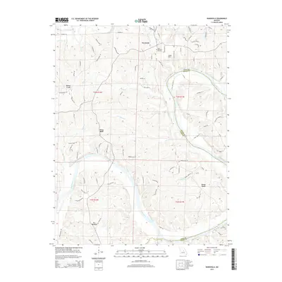
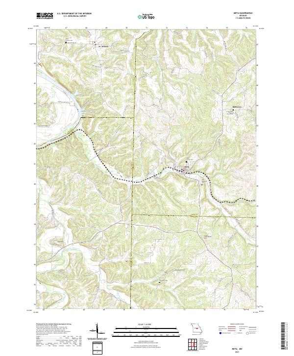 2021 Meta2021 Print · USGSOsage and Miller counties are shown here in the early 2020s, a landscape defined by the winding Osage River and rural ridge settlements. Genealogists can locate family-named sites like Thompson Cem or trace old routes such as Scheuer Ferry Rd and Old St Thomas Rd.
 - 2021 Map of Wardsville, 2021 Print
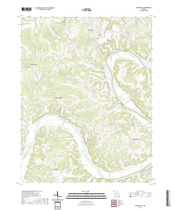 2021 Wardsville2021 Print · USGSCole County’s river-carved landscape is shown in detail during the early 2020s, centered on the winding Osage River. Local historians can trace family connections at Saint Stanislaus Cem and explore the rural settlements of Wardsville and St. Thomas.
End of results
Showing maps 1-8 of 8
Top cities near St. Thomas
- Jefferson City historical maps
- Wardsville historical maps
- Taos historical maps
- Russellville historical maps
- Saint Elizabeth historical maps
- Westphalia historical maps
See more
Top neighborhoods of St. Thomas
Frequently asked questions
- What are the different types of historical maps available for St. Thomas?
- What is the oldest map of St. Thomas?
- Where can I purchase historical maps of St. Thomas for my home or office?
- Where can I download high-res historical maps of St. Thomas?
- Are there historical topographic maps available for St. Thomas?
- Is there historical aerial imagery available for St. Thomas?
- Where are historical maps of St. Thomas sourced from?