2000s (21st Century) Maps of Denlow, Missouri
Explore 5 historic maps of Denlow from the 2000s (21st Century). These maps offer a rare glimpse into what life looked like during the 2000s — showing old roads, neighborhoods, homes, and landmarks that have changed or disappeared over time.
Whether you're researching your family's past, planning a metal detecting trip, or studying how Denlow's landscape evolved across the 2000s, these high-resolution maps are a powerful tool for exploring the history of this region.
- Focus on a specific era: All maps on this page are from the 2000s, giving you a focused view of this time period.
- See what’s changed: Compare century-old streets, trails, and buildings to today's modern landscape using overlays and satellite layers.
- Research with precision: Use these maps for genealogy, historical research, land use analysis, or educational projects.
- View, download, or print: Maps are fully viewable online in high resolution, and can be downloaded or printed for your own records.
Start exploring Denlow's history through authentic maps from the 2000s. This is your window into the past.
Denlow, MO maps
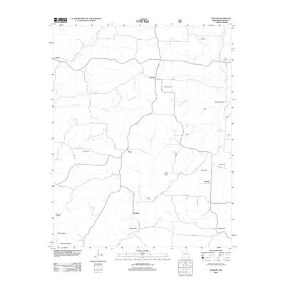
(5)- 2004 Map of Vanzant, 2006 Print
 2004 Vanzant2006 Print · USGSThe Douglas County highlands around Vanzant are shown as they appeared in the early 2000s, where traditional Ozark settlements meet managed forest land. Researchers can trace rural genealogy and local history through features like Denlow, Drury, and the isolated Call Cem.
 - 2012 Map of Vanzant, 2012 Print
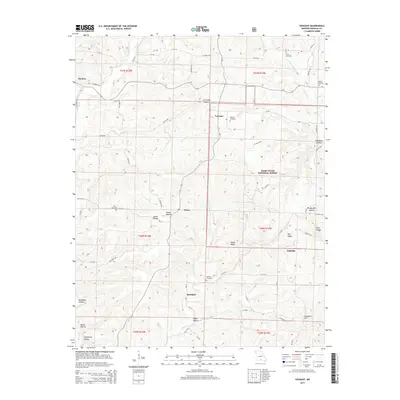
 2012 Vanzant2012 Print · USGSCovers Denlow, including Buckhart, Drury, and other nearby areas
 - 2015 Map of Vanzant, 2015 Print
 2015 Vanzant2015 Print · USGSCovers Denlow, including Buckhart, Drury, and other nearby areas
 - 2017 Map of Vanzant, 2017 Print
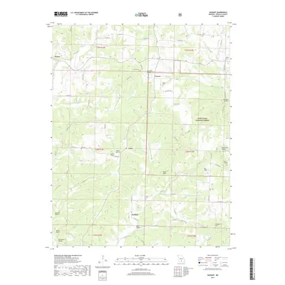 2017 Vanzant2017 Print · USGSCovers Denlow, including Buckhart, Drury, and other nearby areas
 - 2021 Map of Vanzant, 2021 Print
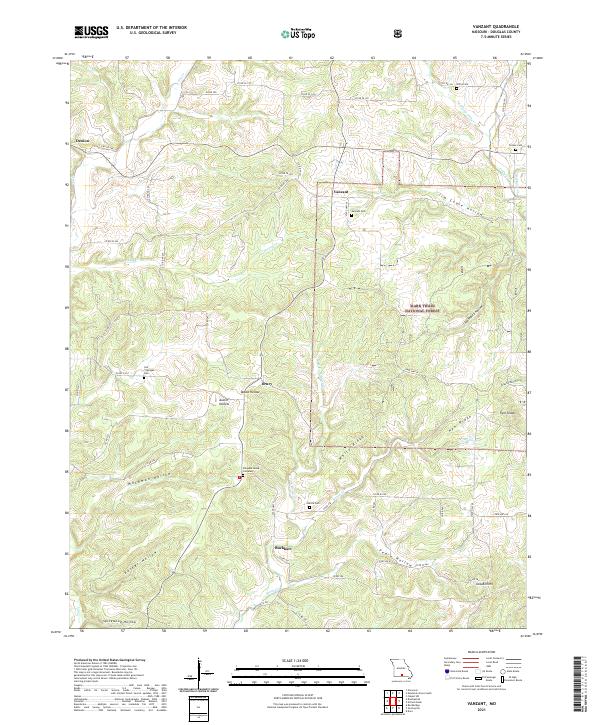 2021 Vanzant2021 Print · USGSThe Douglas County hills come into focus in the early 2020s, showing a landscape defined by the Mark Twain National Forest and isolated settlements. Genealogists and local historians can pinpoint family burial sites like Pleasant Home Cemetery and Tedrick Cem or trace the hollows of Jim Coble Hollow.
End of results
Showing maps 1-5 of 5
Top cities near Denlow
Frequently asked questions
- What are the different types of historical maps available for Denlow?
- What is the oldest map of Denlow?
- Where can I purchase historical maps of Denlow for my home or office?
- Where can I download high-res historical maps of Denlow?
- Are there historical topographic maps available for Denlow?
- Is there historical aerial imagery available for Denlow?
- Where are historical maps of Denlow sourced from?