Old Maps of Goodville, Missouri
Explore 11 old maps of Goodville, spanning from 1951 to today. These high-resolution historic maps reveal how streets, neighborhoods, landmarks, and natural features evolved over time — perfect for genealogy, metal detecting, research, and local history exploration.
What you can do with these maps:
- See how Goodville changed over time: Compare historical maps to modern-day views to trace roads, homesites, rail lines & more.
- View detailed metadata: Each map includes creators, publishers, year, scale, and archive source.
- Overlay maps with satellite & LiDAR: Visualize the past alongside modern tools to explore terrain & human change.
- Trusted historical sources: Maps sourced from the USGS, Library of Congress, and other archives.
- Access maps your way: View online, download high-res files, or order prints for personal or research use.
Start exploring old maps of Goodville to uncover forgotten places, hidden landmarks, and the deep history beneath your feet.
Goodville, MO maps
(11)- 1951 Map of Mountain Grove South, 1952 Print
 1951 Mountain Grove South1952 Print · USGSThe Missouri Ozarks south of Mountain Grove are shown here in the early 1950s as a landscape of rural schools and winding creek valleys. Researchers can locate family landmarks like Strunk Cem and old country schools including Oak Grove Sch and Fairmount Sch.3 unique versions available
 - 1951 Map of Mountain Grove, 1958 Print
 1951 Mountain Grove1958 Print · USGSWright and Douglas counties come alive in the early fifties, showing a landscape of small farmsteads and rural schoolhouses. Genealogists can locate specific family landmarks like Day Cem, Owens, and the St Louis San Francisco RR corridor.
 - 1954 Map of Springfield
 1954 Springfield1954 Print · USGSThe Missouri Ozarks are captured here during the post-war era, showing the expansion of Springfield and the surrounding river valleys. Genealogists and historians can trace local landmarks like Mount Comfort Cemetery and the Fort Leonard Wood military grounds.6 unique versions available
 - 1958 Map of Springfield
 1958 Springfield1958 Print · USGSThe Missouri Ozarks are captured during the mid-century era of growth, centered on the bustling hub of Springfield. Genealogists and historians can trace family roots through numerous landmarks like Ebenezer Church, Stockton Cem, and the various county courthouses.
 - 1959 Map of Springfield
 1959 Springfield1959 Print · USGSThe Missouri Ozarks are captured here during a decade of postwar growth and increasing highway connectivity. Researchers can trace the legacy of the St Louis-San Francisco RR and locate early sites in Springfield, Lebanon, and Mountain Grove.
 - 1977 Map of Mountain Grove South
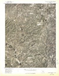 1977 Mountain Grove South1977 Print · USGSSouthern Mountain Grove and the surrounding farmsteads are captured in detail during the late seventies. Researchers can trace land boundaries, woodlots, and the growth of the town beyond the city center in this Missouri aerial survey.
 - 1983 Map of Mountain Grove
 1983 Mountain Grove1983 Print · USGSWright and Webster counties in the early 1980s show a traditional Ozark landscape of ridge-running railroads and river headwaters. You can trace the Burlington Northern Railroad through towns like Mansfield or find rural landmarks like Vance Cem and Mt Zion Church.
 - 2012 Map of Mountain Grove South, 2012 Print
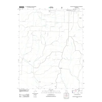 2012 Mountain Grove South2012 Print · USGSThe rural terrain south of Mountain Grove comes into focus in the early 2010s. Genealogists and local historians can trace family locations near Strunk Cemetery, the settlement of Goodville, and the banks of Whetstone Creek.
 - 2015 Map of Mountain Grove South, 2015 Print
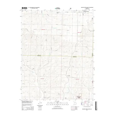 2015 Mountain Grove South2015 Print · USGSDouglas and Wright Counties are shown here in the mid-2010s, capturing a landscape of high-plateau farms and forested creek valleys. Researchers can locate remote family sites and burial grounds like Strunk Cemetery, Prior Cemetery, and the community of Goodville.
 - 2017 Map of Mountain Grove South, 2017 Print
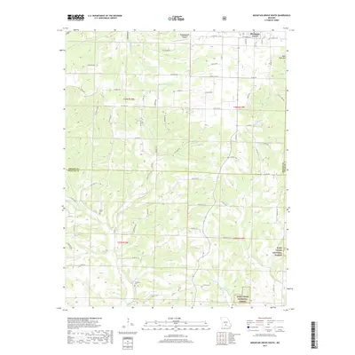 2017 Mountain Grove South2017 Print · USGSMountain Grove and the southern Ozark hills of Douglas and Wright counties are shown here in the late twenty-teens. Genealogists and local historians can locate rural landmarks like Prior Cem and Strunk Cem or trace the winding course of Whetstone Cr.
 - 2021 Map of Mountain Grove South, 2021 Print
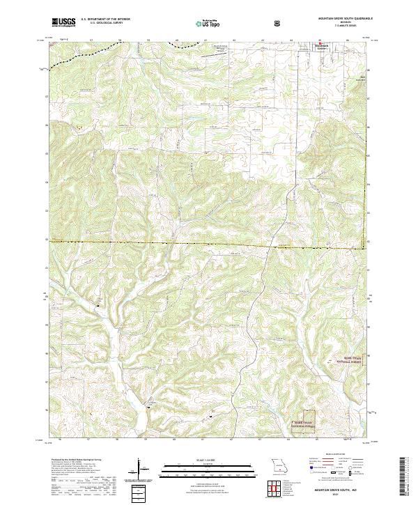 2021 Mountain Grove South2021 Print · USGSThe southern outskirts of Mountain Grove meet the Ozark timberlands in the early 2020s, revealing a landscape of winding creek prongs and high ridges. Genealogists can locate several rural burial grounds including Strunk Cem and Livingston Cem near the headwaters of Fox Cr.
End of results
Showing maps 1-11 of 11
Top cities near Goodville
Frequently asked questions
- What are the different types of historical maps available for Goodville?
- What is the oldest map of Goodville?
- Where can I purchase historical maps of Goodville for my home or office?
- Where can I download high-res historical maps of Goodville?
- Are there historical topographic maps available for Goodville?
- Is there historical aerial imagery available for Goodville?
- Where are historical maps of Goodville sourced from?