2000s (21st Century) Maps of Ongo, Missouri
Explore 5 historic maps of Ongo from the 2000s (21st Century). These maps offer a rare glimpse into what life looked like during the 2000s — showing old roads, neighborhoods, homes, and landmarks that have changed or disappeared over time.
Whether you're researching your family's past, planning a metal detecting trip, or studying how Ongo's landscape evolved across the 2000s, these high-resolution maps are a powerful tool for exploring the history of this region.
- Focus on a specific era: All maps on this page are from the 2000s, giving you a focused view of this time period.
- See what’s changed: Compare century-old streets, trails, and buildings to today's modern landscape using overlays and satellite layers.
- Research with precision: Use these maps for genealogy, historical research, land use analysis, or educational projects.
- View, download, or print: Maps are fully viewable online in high resolution, and can be downloaded or printed for your own records.
Start exploring Ongo's history through authentic maps from the 2000s. This is your window into the past.
Ongo, MO maps
(5)- 2004 Map of Keltner, 2006 Print
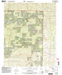 2004 Keltner2006 Print · USGSThe Ozark highlands on the Christian and Douglas county line appear here as they were at the start of the millennium. Genealogists can trace family roots through several isolated burial grounds and country sanctuaries, including Harvill Cem, Mt Olive Ch, and Old Merritt.
 - 2012 Map of Keltner, 2012 Print
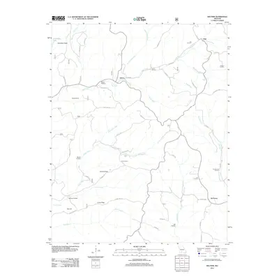 2012 Keltner2012 Print · USGSCovers Ongo, including Old Merritt, Keltner, and other nearby areas
 - 2015 Map of Keltner, 2015 Print
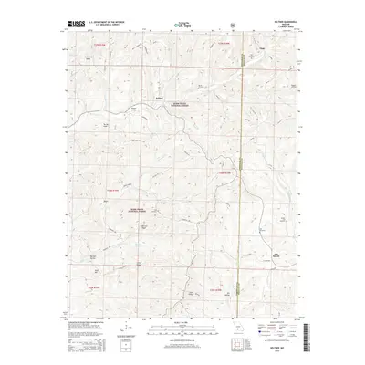 2015 Keltner2015 Print · USGSCovers Ongo, including Old Merritt, Keltner, and other nearby areas
 - 2017 Map of Keltner, 2017 Print
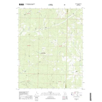 2017 Keltner2017 Print · USGSCovers Ongo, including Old Merritt, Keltner, and other nearby areas
 - 2021 Map of Keltner, 2021 Print
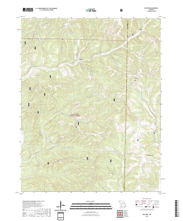 2021 Keltner2021 Print · USGSChristian and Douglas Counties are shown in the early twenty-first century, centered on the Ozark highlands near Keltner and Ongo. Researchers can trace old family burial sites like Maggard Cem and Hall Cem or follow the waters of Swan Cr.
End of results
Showing maps 1-5 of 5
Top cities near Ongo
- Ava historical maps
- Seymour historical maps
- Sparta historical maps
- Fordland historical maps
- Diggins historical maps
- Bradleyville historical maps
Frequently asked questions
- What are the different types of historical maps available for Ongo?
- What is the oldest map of Ongo?
- Where can I purchase historical maps of Ongo for my home or office?
- Where can I download high-res historical maps of Ongo?
- Are there historical topographic maps available for Ongo?
- Is there historical aerial imagery available for Ongo?
- Where are historical maps of Ongo sourced from?