Old Maps of Huggins Township, Missouri for Academic Research
Study the evolution of Huggins Township with 30 high-resolution historic maps. Whether you're teaching, researching, or modeling changes in land use, these maps provide essential visual documentation of urban, environmental, and geographic change.
- Analyze long-term change: Track patterns in development, transportation, and natural features.
- Ideal for environmental or urban studies: Support academic projects with primary historical map data.
- Use in the classroom or lab: Educators and researchers rely on these maps to bring historical context to life.
These maps are a powerful tool for teaching, research, and visualizing how Huggins Township has changed over the decades.
Huggins Township, MO maps
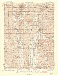
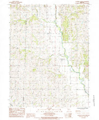
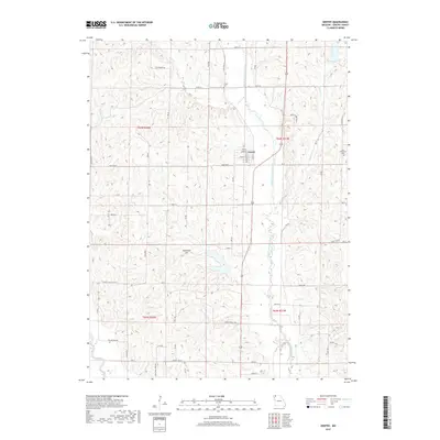
(30)- 1925 Map of Darlington
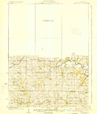 1925 Darlington1925 Print · USGSGentry and DeKalb counties come alive in the mid-1920s, showing a landscape of small farmsteads and rural schoolhouses. Genealogists can trace family roots through landmarks like Mt Tabor Church, Ford City, and the uniquely named Rattlesnake School.3 unique versions available
 - 1940 Map of Parnell, 1954 Print
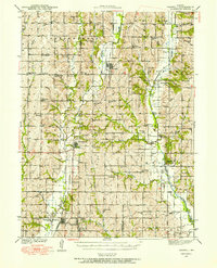 1940 Parnell1954 Print · USGSNorthwest Missouri in the 1940s is defined here by a dense grid of rural schoolhouses and the critical rail hub at Conception Junction. Trace family roots near St Benedict Convent or find old community sites like Common Sense Sch and Ravenwood.
 - 1942 Map of Grant City
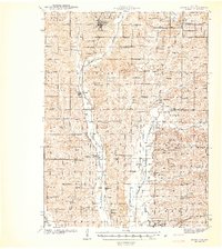 1942 Grant City1942 Print · USGSNorthwest Missouri's river valleys and rail lines defined community life in the early 1940s as rural farmsteads flourished between the forks of the Grand River. Researchers can trace family history through dozens of local landmarks like Smithton Sch, Wharton Cem, and the village of Allendale.
 - 1943 Map of Parnell
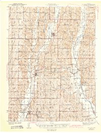 1943 Parnell1943 Print · USGSNorthwest Missouri's agricultural heartland is documented here in the early 1940s, centered on the rail junctions and river valleys of Nodaway and Worth counties. Researchers can trace rural lineages through dozens of local landmarks like Common Sense Sch, St Benedict Convent, and Sweet Home Cem.2 unique versions available
 - 1943 Map of Grant City
 1943 Grant City1943 Print · USGSNorthwest Missouri thrived as a landscape of small farms and crossroads schoolhouses in the early 1940s. Genealogists and local historians can trace family roots through dozens of rural sites like Hugginsville Sch, New Friendship Ch, and the Chicago Burlington and Quincy RR.3 unique versions available
 - 1950 Map of Darlington, 1952 Print
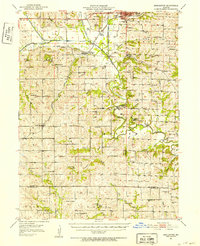 1950 Darlington1952 Print · USGSNorthwest Missouri's agricultural heartland is documented here in the early postwar era, centering on the rail junctions and river valleys of Gentry County. Researchers can trace dozens of country schoolhouses like Buckley Sch and Red Star Sch, alongside community hubs such as Gentryville and Ford City.
 - 1955 Map of Nebraska City, 1967 Print
 1955 Nebraska City1967 Print · USGSThe four-state region surrounding the Missouri River valley appears here in the mid-1950s, a landscape of rail-dependent market towns and rural school districts. Genealogists can locate family landmarks like the Rock Bluff School, St Oswald Church, and the Clarinda State Hospital.3 unique versions available
 - 1957 Map of Nebraska City
 1957 Nebraska City1957 Print · USGSThe four-state junction of Nebraska, Iowa, Missouri, and Kansas comes alive in this mid-fifties survey of the Missouri River valley. Genealogists and historians can trace the rail-and-road networks connecting Nebraska City, Maryville, and the Squaw Creek National Wildlife Refuge.
 - 1958 Map of Nebraska City
 1958 Nebraska City1958 Print · USGSThe Missouri River Valley and its fertile four-state borderlands are captured here during the mid-century expansion of the regional highway and rail networks. Genealogists can trace family roots through numerous rural landmarks like Moulton School, Shady Grove Church, and the Clarinda State Hospital.
 - 1984 Map of Albany North, 1985 Print
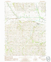
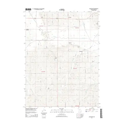
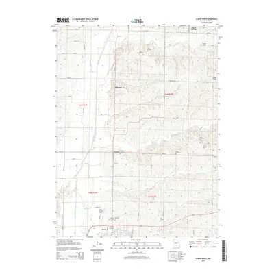
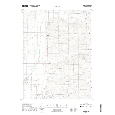
 1984 Albany North1985 Print · USGSNorthern Gentry County in the 1980s was a landscape of winding river forks and small rural settlements. Researchers can trace family sites near Siloam Springs or locate long-standing landmarks like Ellenorah and the banks of the East Fork Grand River.
 - 1984 Map of Gentry, 1985 Print
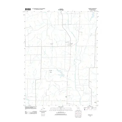
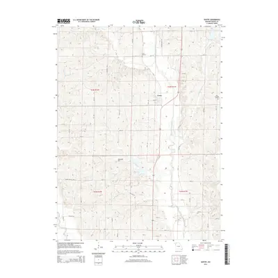
 1984 Gentry1985 Print · USGSGentry County in the early 1980s reveals a rural landscape shaped by the Middle Fork Grand River and its many tributaries. Researchers can trace the path of the Old Railroad Grade or locate small family Cem sites in townships like Bogle and Wilson.
 - 1985 Map of Alanthus Grove
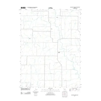
 1985 Alanthus Grove1985 Print · USGSGentry County in the 1980s is defined by its deep-cut river valleys and quiet crossroads communities. Genealogists and local historians can trace the rural layout of Alanthus Grove and Enyart, or locate small family plots marked simply as Cem.
 - 1985 Map of Darlington, 1986 Print
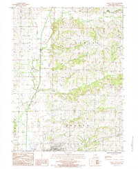
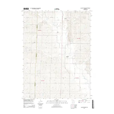
 1985 Darlington1986 Print · USGSGentry County in the 1980s shows a landscape of river-bottom farming and small-town Missouri life. Genealogists and local historians can trace the Old RR Grade through Darlington or locate family plots near Mc Curry and the local Cem.
 - 1986 Map of Maryville
 1986 Maryville1986 Print · USGSNorthwest Missouri's agricultural heartland is documented here in the mid-1980s, from the campus at Northwest Missouri State University to the Grand River valley. Genealogists can trace family footprints across dozens of local burial grounds like Alanthus Grove Cem and Brooklyn Cem.2 unique versions available
 - 2011 Map of Albany North, 2011 Print
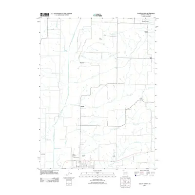 2011 Albany North2011 Print · USGSCovers Huggins Township, including Albany, Ellenorah, and other nearby areas
 - 2011 Map of Darlington, 2011 Print
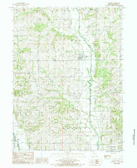
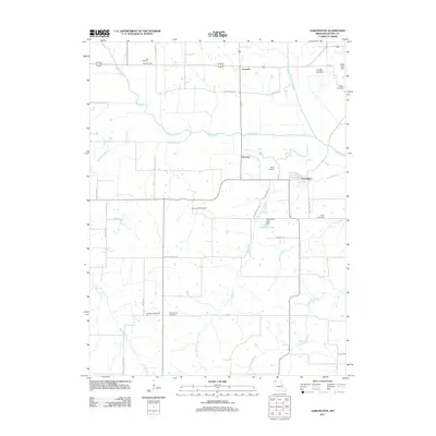 2011 Darlington2011 Print · USGSCovers Huggins Township, including Darlington, Cooper Township, and other nearby areas
 - 2011 Map of Alanthus Grove, 2011 Print
 2011 Alanthus Grove2011 Print · USGSCovers Huggins Township, including Cooper Township, Wilson Township, and other nearby areas
 - 2012 Map of Gentry, 2012 Print
 2012 Gentry2012 Print · USGSCovers Huggins Township, including Gentry, Cooper Township, and other nearby areas
 - 2014 Map of Darlington, 2014 Print
 2014 Darlington2014 Print · USGSCovers Huggins Township, including Darlington, Cooper Township, and other nearby areas
 - 2014 Map of Alanthus Grove, 2014 Print
 2014 Alanthus Grove2014 Print · USGSCovers Huggins Township, including Cooper Township, Wilson Township, and other nearby areas
 - 2014 Map of Albany North, 2014 Print
 2014 Albany North2014 Print · USGSCovers Huggins Township, including Albany, Ellenorah, and other nearby areas
 - 2014 Map of Gentry, 2014 Print
 2014 Gentry2014 Print · USGSCovers Huggins Township, including Gentry, Cooper Township, and other nearby areas
 - 2017 Map of Darlington, 2017 Print
 2017 Darlington2017 Print · USGSCovers Huggins Township, including Darlington, Cooper Township, and other nearby areas
 - 2017 Map of Albany North, 2017 Print
 2017 Albany North2017 Print · USGSCovers Huggins Township, including Albany, Ellenorah, and other nearby areas
 - 2017 Map of Gentry, 2017 Print
 2017 Gentry2017 Print · USGSCovers Huggins Township, including Gentry, Cooper Township, and other nearby areas
Showing maps 1-25 of 30
Top cities near Huggins Township
- Albany historical maps
- Stanberry historical maps
- King City historical maps
- Grant City historical maps
- Parnell historical maps
- McFall historical maps
See more
Top neighborhoods of Huggins Township
Frequently asked questions
- What are the different types of historical maps available for Huggins Township?
- What is the oldest map of Huggins Township?
- Where can I purchase historical maps of Huggins Township for my home or office?
- Where can I download high-res historical maps of Huggins Township?
- Are there historical topographic maps available for Huggins Township?
- Is there historical aerial imagery available for Huggins Township?
- Where are historical maps of Huggins Township sourced from?