Old Maps of Huggins Township, Missouri for Hiking & Exploration
Hike through history with 30 historic maps of Huggins Township. Explore old trails, ghost towns, and forgotten backroads — perfect for outdoor adventurers and local explorers.
- Rediscover forgotten places: Map out old mining camps, roads, and footpaths that no longer exist on modern maps.
- Layer with modern tools: Combine with LiDAR or satellite views to plan hikes through historical terrain.
- Made for exploration: Popular among hikers, overlanders, and local history lovers.
Use these maps to find adventure and explore the hidden past of Huggins Township.
Huggins Township, MO maps
(30)- 1925 Map of Darlington
 1925 Darlington1925 Print · USGSGentry and DeKalb counties come alive in the mid-1920s, showing a landscape of small farmsteads and rural schoolhouses. Genealogists can trace family roots through landmarks like Mt Tabor Church, Ford City, and the uniquely named Rattlesnake School.3 unique versions available
 - 1940 Map of Parnell, 1954 Print
 1940 Parnell1954 Print · USGSNorthwest Missouri in the 1940s is defined here by a dense grid of rural schoolhouses and the critical rail hub at Conception Junction. Trace family roots near St Benedict Convent or find old community sites like Common Sense Sch and Ravenwood.
 - 1942 Map of Grant City
 1942 Grant City1942 Print · USGSNorthwest Missouri's river valleys and rail lines defined community life in the early 1940s as rural farmsteads flourished between the forks of the Grand River. Researchers can trace family history through dozens of local landmarks like Smithton Sch, Wharton Cem, and the village of Allendale.
 - 1943 Map of Parnell
 1943 Parnell1943 Print · USGSNorthwest Missouri's agricultural heartland is documented here in the early 1940s, centered on the rail junctions and river valleys of Nodaway and Worth counties. Researchers can trace rural lineages through dozens of local landmarks like Common Sense Sch, St Benedict Convent, and Sweet Home Cem.2 unique versions available
 - 1943 Map of Grant City
 1943 Grant City1943 Print · USGSNorthwest Missouri thrived as a landscape of small farms and crossroads schoolhouses in the early 1940s. Genealogists and local historians can trace family roots through dozens of rural sites like Hugginsville Sch, New Friendship Ch, and the Chicago Burlington and Quincy RR.3 unique versions available
 - 1950 Map of Darlington, 1952 Print
 1950 Darlington1952 Print · USGSNorthwest Missouri's agricultural heartland is documented here in the early postwar era, centering on the rail junctions and river valleys of Gentry County. Researchers can trace dozens of country schoolhouses like Buckley Sch and Red Star Sch, alongside community hubs such as Gentryville and Ford City.
 - 1955 Map of Nebraska City, 1967 Print
 1955 Nebraska City1967 Print · USGSThe four-state region surrounding the Missouri River valley appears here in the mid-1950s, a landscape of rail-dependent market towns and rural school districts. Genealogists can locate family landmarks like the Rock Bluff School, St Oswald Church, and the Clarinda State Hospital.3 unique versions available
 - 1957 Map of Nebraska City
 1957 Nebraska City1957 Print · USGSThe four-state junction of Nebraska, Iowa, Missouri, and Kansas comes alive in this mid-fifties survey of the Missouri River valley. Genealogists and historians can trace the rail-and-road networks connecting Nebraska City, Maryville, and the Squaw Creek National Wildlife Refuge.
 - 1958 Map of Nebraska City
 1958 Nebraska City1958 Print · USGSThe Missouri River Valley and its fertile four-state borderlands are captured here during the mid-century expansion of the regional highway and rail networks. Genealogists can trace family roots through numerous rural landmarks like Moulton School, Shady Grove Church, and the Clarinda State Hospital.
 - 1984 Map of Albany North, 1985 Print
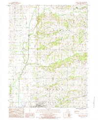 1984 Albany North1985 Print · USGSNorthern Gentry County in the 1980s was a landscape of winding river forks and small rural settlements. Researchers can trace family sites near Siloam Springs or locate long-standing landmarks like Ellenorah and the banks of the East Fork Grand River.
 - 1984 Map of Gentry, 1985 Print
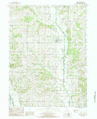 1984 Gentry1985 Print · USGSGentry County in the early 1980s reveals a rural landscape shaped by the Middle Fork Grand River and its many tributaries. Researchers can trace the path of the Old Railroad Grade or locate small family Cem sites in townships like Bogle and Wilson.
 - 1985 Map of Alanthus Grove
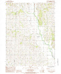 1985 Alanthus Grove1985 Print · USGSGentry County in the 1980s is defined by its deep-cut river valleys and quiet crossroads communities. Genealogists and local historians can trace the rural layout of Alanthus Grove and Enyart, or locate small family plots marked simply as Cem.
 - 1985 Map of Darlington, 1986 Print
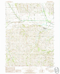 1985 Darlington1986 Print · USGSGentry County in the 1980s shows a landscape of river-bottom farming and small-town Missouri life. Genealogists and local historians can trace the Old RR Grade through Darlington or locate family plots near Mc Curry and the local Cem.
 - 1986 Map of Maryville
 1986 Maryville1986 Print · USGSNorthwest Missouri's agricultural heartland is documented here in the mid-1980s, from the campus at Northwest Missouri State University to the Grand River valley. Genealogists can trace family footprints across dozens of local burial grounds like Alanthus Grove Cem and Brooklyn Cem.2 unique versions available
 - 2011 Map of Albany North, 2011 Print
 2011 Albany North2011 Print · USGSGentry County in the early twenty-first century maintains a landscape defined by its river valleys and quiet crossroads. Genealogists and local historians can trace the placement of family burial grounds like Bulla Cemetery or explore small localities such as Possum Hollow and Pinhook.
 - 2011 Map of Darlington, 2011 Print
 2011 Darlington2011 Print · USGSGentry County at the start of the 2010s reveals a rural landscape deeply rooted in its local history and family cemeteries. Genealogists can trace family names and early settlements through markers like Saint Patrick Cemetery, McCurry, and the village of Darlington.
 - 2011 Map of Alanthus Grove, 2011 Print
 2011 Alanthus Grove2011 Print · USGSGentry County at the start of the twenty-first century reveals a landscape defined by the winding Grand River and a deep network of prairie creeks. Genealogists and local historians can trace family locations near Finders Cemetery, Monroe Cemetery, and the historic settlement of Alanthus Grove.
 - 2012 Map of Gentry, 2012 Print
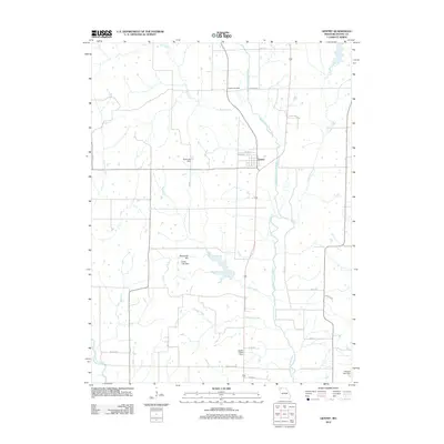 2012 Gentry2012 Print · USGSThe community of Gentry and its surrounding river valley are captured here just after the turn of the millennium. Genealogists and land historians can trace the rural landscape through Snider Cemetery, family-named roads like Pierce Shisler, and Redmond Hill.
 - 2014 Map of Darlington, 2014 Print
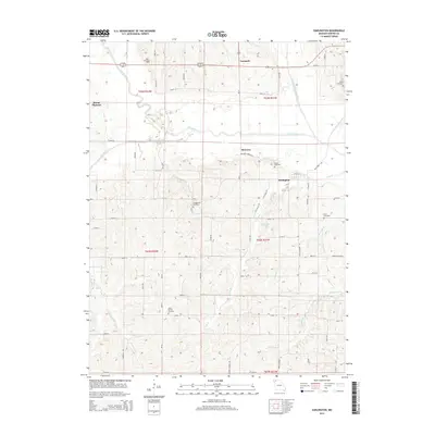 2014 Darlington2014 Print · USGSNorthwest Missouri's river-bottom lands and rural townships are captured here in the early twenty-first century. Genealogists can trace family footprints across numerous burial sites, including Saint Patrick Cemetery, Hall Cemetery, and Rodes Cemetery.
 - 2014 Map of Alanthus Grove, 2014 Print
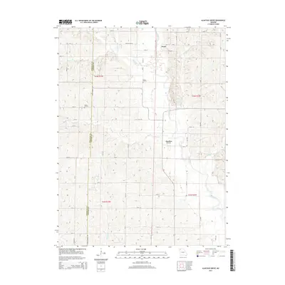 2014 Alanthus Grove2014 Print · USGSGentry and Nodaway counties appear in this recent survey, centered on the historic river-bottom communities of Northwest Missouri. Genealogists and researchers can locate family landmarks like Finders Cemetery and trace the paths of Munkres Br or Grand River.
 - 2014 Map of Albany North, 2014 Print
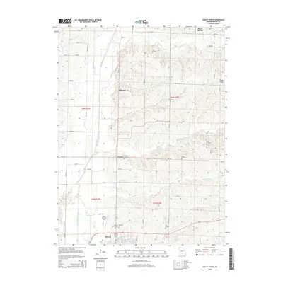 2014 Albany North2014 Print · USGSGentry County in the early twenty-first century retains its rural character, anchored by the seat of Albany. Genealogists and historians can trace numerous family burial sites like Henton Cemetery and Carter Cemetery alongside small communities such as Ellenorah and Pinhook.
 - 2014 Map of Gentry, 2014 Print
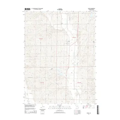 2014 Gentry2014 Print · USGSThe rural landscape of Gentry County comes into focus in the early 2010s as a network of creek-side settlements and plateau ridges. Researchers can locate family burial sites at Snider Cemetery and trace old routes like Hugginsville Trl near the Middle Fork Grand River.
 - 2017 Map of Darlington, 2017 Print
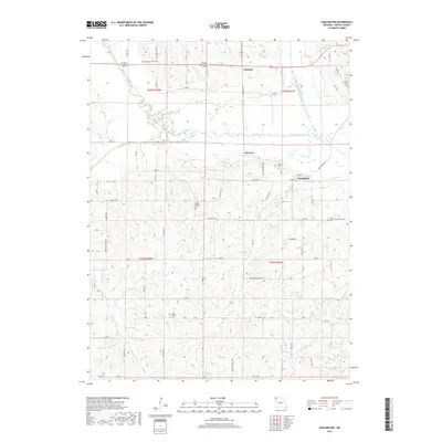 2017 Darlington2017 Print · USGSGentry County's rural river valleys are captured here in the late 2010s, showing the enduring agricultural layout around the Grand River. Genealogists can trace family roots through numerous burial sites like Saint Patrick Cem, Long Branch Cem, and Rouse Cem.
 - 2017 Map of Albany North, 2017 Print
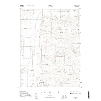 2017 Albany North2017 Print · USGSNorth of Albany in the late 2010s, the Gentry County countryside remains a landscape of family-named cemeteries and small crossroads. Genealogists and researchers can trace local roots through landmarks like Wilson Cem, Possum Hollow, and the rural settlement of Lone Star.
 - 2017 Map of Gentry, 2017 Print
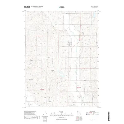 2017 Gentry2017 Print · USGSGentry County in the late 2010s remains a landscape defined by its small-town roots and the winding Middle Fork Grand River. Genealogists and local historians can locate early burial sites like Snider Cem and trace rural routes such as Hugginsville Trl.
Showing maps 1-25 of 30
Top cities near Huggins Township
- Albany historical maps
- Stanberry historical maps
- King City historical maps
- Grant City historical maps
- Parnell historical maps
- McFall historical maps
See more
Top neighborhoods of Huggins Township
Frequently asked questions
- What are the different types of historical maps available for Huggins Township?
- What is the oldest map of Huggins Township?
- Where can I purchase historical maps of Huggins Township for my home or office?
- Where can I download high-res historical maps of Huggins Township?
- Are there historical topographic maps available for Huggins Township?
- Is there historical aerial imagery available for Huggins Township?
- Where are historical maps of Huggins Township sourced from?