Old Maps of Gilman City, Missouri for Hiking & Exploration
Hike through history with 27 historic maps of Gilman City. Explore old trails, ghost towns, and forgotten backroads — perfect for outdoor adventurers and local explorers.
- Rediscover forgotten places: Map out old mining camps, roads, and footpaths that no longer exist on modern maps.
- Layer with modern tools: Combine with LiDAR or satellite views to plan hikes through historical terrain.
- Made for exploration: Popular among hikers, overlanders, and local history lovers.
Use these maps to find adventure and explore the hidden past of Gilman City.
Gilman City, MO maps
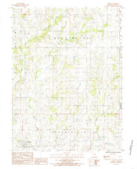
(27)- 1925 Map of Gilman
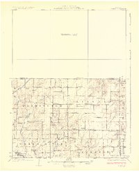 1925 Gilman1925 Print · USGSDaviess County was a landscape of tightly-knit rural school districts and parish churches in the mid-1920s. Genealogists can trace family footprints at Bancroft, the Quincy Omaha and Kansas City rail line, and numerous sites like Prairie City Church.3 unique versions available
 - 1946 Map of Gilman
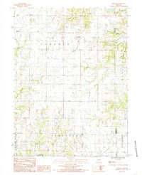
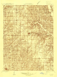 1946 Gilman1946 Print · USGSMid-century Daviess and Harrison Counties are captured here during a period of transition for rural Missouri's rail and school networks. Researchers can trace the legacy of local education through nearly twenty named school sites like Liberty Sch and Red Sch, or locate family sites near Bancroft and the Wabash line.
 - 1948 Map of Gilman
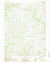
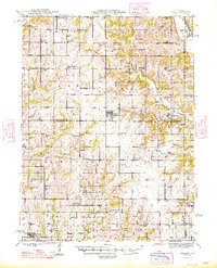 1948 Gilman1948 Print · USGSDaviess and Harrison counties are shown in the late 1940s, capturing a detailed landscape of rural Missouri crossroads and small-town commerce. Genealogists can trace family roots through the numerous named landmarks like Gilman City P O, Bancroft, and the Wabash railroad line.2 unique versions available
 - 1954 Map of Centerville, 1967 Print
 1954 Centerville1967 Print · USGSThe Iowa-Missouri borderlands at mid-century reveal a landscape shaped by river valleys and the height of the regional rail network. Genealogists and historians can trace the paths of the Wabash railroad and locate old townsites like Mystic, Moulton, and Greentop.3 unique versions available
 - 1957 Map of Centerville
 1957 Centerville1957 Print · USGSThe Iowa-Missouri borderlands in the mid-fifties reveal a landscape of river-valley agriculture and vital rail corridors. Genealogists and historians can trace family-named landmarks and small-town growth in Centerville, Kirksville, and along the Wabash railroad line.
 - 1958 Map of Centerville
 1958 Centerville1958 Print · USGSThe Iowa-Missouri borderlands come into focus during the mid-fifties, showing a landscape defined by river valleys and intersecting rail lines. Genealogists and local historians can trace family roots through dozens of rural hubs like Bloomfield, Unionville, and Corydon.
 - 1981 Map of Trenton
 1981 Trenton1981 Print · USGSNorthern Missouri in the early eighties remains a landscape defined by its river valleys and intersecting rail lines. Genealogists and local historians can trace the development of riverside towns like Trenton and Princeton or locate smaller rural junctions such as Humphreys and Brimson.
 - 1984 Map of Gilman City East, 1985 Print
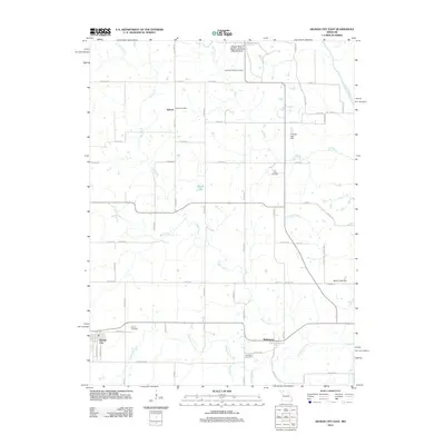
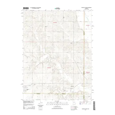
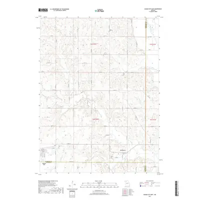
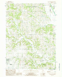 1984 Gilman City East1985 Print · USGSNorthwest Missouri in the early 1980s reveals a rural landscape defined by the branching tributaries of Sugar Creek and the Thompson River. Researchers can trace the borders of Gilman City and Melbourne or explore the Wayne Helton Memorial State Wildlife Area.
 - 1984 Map of Jameson, 1985 Print
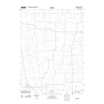
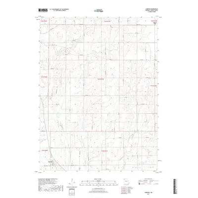
 1984 Jameson1985 Print · USGSNorthwestern Missouri in the early 1980s reveals a landscape of dispersed farms and winding waterways. Researchers can locate family homesteads near Jameson or trace the rural drainage of the Grand River, Big Muddy Creek, and Hickory Creek.
 - 1984 Map of Bancroft, 1985 Print
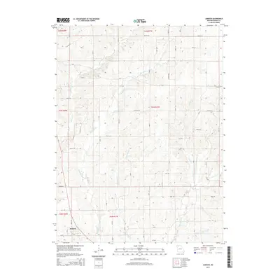
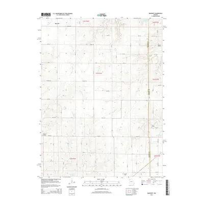
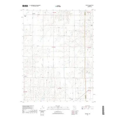
 1984 Bancroft1985 Print · USGSDaviess and Grundy counties appear in the mid-1980s as a landscape of rural townships and winding creek valleys. Researchers can trace family history through several Cem locations and small settlements like Bancroft and Jamesport Community Lake.
 - 1984 Map of Gilman City West, 1985 Print
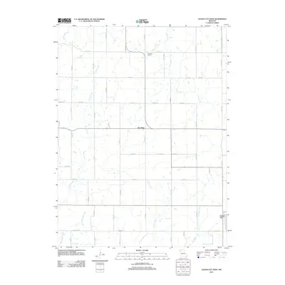
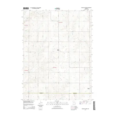
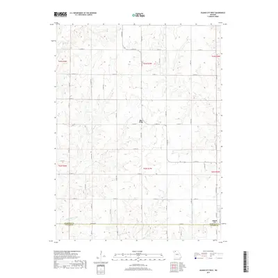
 1984 Gilman City West1985 Print · USGSHarrison County farmland in the early 1980s is defined by its winding creek valleys and quiet rural crossroads. Genealogists and researchers can trace the landscape between Blue Ridge and Gilman City, crossing through Sherman and Adams townships.
 - 2012 Map of Bancroft, 2012 Print
 2012 Bancroft2012 Print · USGSCovers Gilman City, including Bancroft, Daviess County, and other nearby areas
 - 2012 Map of Gilman City West, 2012 Print
 2012 Gilman City West2012 Print · USGSCovers Gilman City, including Blue Ridge, Harrison County, and other nearby areas
 - 2012 Map of Gilman City East, 2012 Print
 2012 Gilman City East2012 Print · USGSCovers Gilman City, including Bolton, Melbourne, and other nearby areas
 - 2012 Map of Jameson, 2012 Print
 2012 Jameson2012 Print · USGSCovers Gilman City, including Jameson, Daviess County, and other nearby areas
 - 2014 Map of Jameson, 2014 Print
 2014 Jameson2014 Print · USGSCovers Gilman City, including Jameson, Daviess County, and other nearby areas
 - 2014 Map of Gilman City West, 2014 Print
 2014 Gilman City West2014 Print · USGSCovers Gilman City, including Blue Ridge, Harrison County, and other nearby areas
 - 2014 Map of Gilman City East, 2014 Print
 2014 Gilman City East2014 Print · USGSCovers Gilman City, including Bolton, Melbourne, and other nearby areas
 - 2015 Map of Bancroft, 2015 Print
 2015 Bancroft2015 Print · USGSCovers Gilman City, including Bancroft, Daviess County, and other nearby areas
 - 2017 Map of Jameson, 2017 Print
 2017 Jameson2017 Print · USGSCovers Gilman City, including Jameson, Daviess County, and other nearby areas
 - 2017 Map of Bancroft, 2017 Print
 2017 Bancroft2017 Print · USGSCovers Gilman City, including Bancroft, Daviess County, and other nearby areas
 - 2017 Map of Gilman City West, 2017 Print
 2017 Gilman City West2017 Print · USGSCovers Gilman City, including Blue Ridge, Harrison County, and other nearby areas
 - 2017 Map of Gilman City East, 2017 Print
 2017 Gilman City East2017 Print · USGSCovers Gilman City, including Bolton, Melbourne, and other nearby areas
 - 2021 Map of Gilman City West, 2021 Print
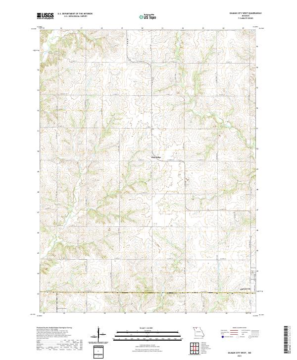 2021 Gilman City West2021 Print · USGSNorthwest Missouri farmland on the Harrison and Daviess County line remains defined by its namesake creeks and rural crossroads. Genealogists and local researchers can trace the landscape around Gilman City and Blue Ridge or follow the paths of Cypress Cr and Sugar Cr.
 - 2021 Map of Jameson, 2021 Print
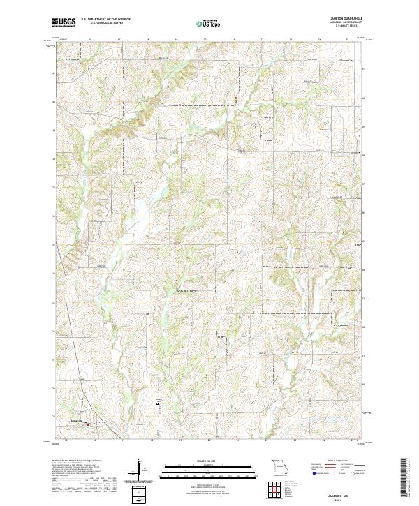 2021 Jameson2021 Print · USGSDaviess County farmland and small-town Missouri life are documented here as they appeared in the early 2020s. Genealogists can locate family landmarks like Grand River Cem and Hill Cem, or trace the winding waters of Big Muddy Cr near the village of Jameson.
Showing maps 1-25 of 27
Top cities near Gilman City
- Bethany historical maps
- Gallatin historical maps
- Jamesport historical maps
- Mount Moriah historical maps
- Coffey historical maps
- Jameson historical maps
See more
Frequently asked questions
- What are the different types of historical maps available for Gilman City?
- What is the oldest map of Gilman City?
- Where can I purchase historical maps of Gilman City for my home or office?
- Where can I download high-res historical maps of Gilman City?
- Are there historical topographic maps available for Gilman City?
- Is there historical aerial imagery available for Gilman City?
- Where are historical maps of Gilman City sourced from?