Old Maps of Doling Park, Springfield
Explore 19 old maps of Doling Park, spanning from 1884 to today. These high-resolution historic maps reveal how streets, neighborhoods, landmarks, and natural features evolved over time — perfect for genealogy, metal detecting, research, and local history exploration.
What you can do with these maps:
- See how Doling Park changed over time: Compare historical maps to modern-day views to trace roads, homesites, rail lines & more.
- View detailed metadata: Each map includes creators, publishers, year, scale, and archive source.
- Overlay maps with satellite & LiDAR: Visualize the past alongside modern tools to explore terrain & human change.
- Trusted historical sources: Maps sourced from the USGS, Library of Congress, and other archives.
- Access maps your way: View online, download high-res files, or order prints for personal or research use.
Start exploring old maps of Doling Park to uncover forgotten places, hidden landmarks, and the deep history beneath your feet.
Doling Park, Springfield maps
(19)- 1884 Map of Springfield
 1884 Springfield1884 Print · USGSSpringfield emerged as a critical railroad junction in Southwest Missouri during the 1880s. Local researchers can trace the early layouts of Springfield, Willard, and Republic as they developed along the St. Louis and San Francisco Railroad.
 - 1886 Map of Springfield, 1896 Print
 1886 Springfield1896 Print · USGSSouthwest Missouri thrived as a regional rail hub in the 1880s, centering on the growth of Greene and Christian counties. Researchers can trace early rural settlements and rail stops like Springfield, Fair Grove, and Republic before the turn of the century.5 unique versions available
 - 1935 Map of Springfield
 1935 Springfield1935 Print · USGSSpringfield was a bustling rail and institutional center in the mid-1930s. Researchers can trace the massive St L-S F RR Shops, the State Teachers College, and numerous rural schoolhouses like Kickapoo Sch.2 unique versions available
 - 1948 Map of Ebenezer
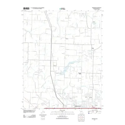
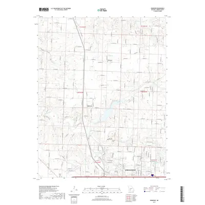
 1948 Ebenezer1948 Print · USGSGreene County is shown just after the war as the rural landscape north of Springfield was defined by its creeks and local schoolhouses. Genealogists can locate family landmarks like Brick Church Cem, Crystal Cave, and the Ritter Sch near Ebenezer.2 unique versions available
 - 1954 Map of Springfield
 1954 Springfield1954 Print · USGSThe Missouri Ozarks are captured here during the post-war era, showing the expansion of Springfield and the surrounding river valleys. Genealogists and historians can trace local landmarks like Mount Comfort Cemetery and the Fort Leonard Wood military grounds.6 unique versions available
 - 1958 Map of Springfield
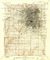
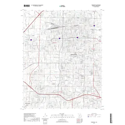
 1958 Springfield1958 Print · USGSThe Missouri Ozarks are captured during the mid-century era of growth, centered on the bustling hub of Springfield. Genealogists and historians can trace family roots through numerous landmarks like Ebenezer Church, Stockton Cem, and the various county courthouses.
 - 1959 Map of Springfield
 1959 Springfield1959 Print · USGSThe Missouri Ozarks are captured here during a decade of postwar growth and increasing highway connectivity. Researchers can trace the legacy of the St Louis-San Francisco RR and locate early sites in Springfield, Lebanon, and Mountain Grove.
 - 1960 Map of Springfield, 1961 Print
 1960 Springfield1961 Print · USGSSpringfield and its surrounding Greene County townships appear in the early sixties during a season of post-war growth. Researchers can trace institutional roots at Southwest Missouri State College, explore the FEDERAL MEDICAL CENTER, or locate family sites near Hazelwood Cemetery and Bethany Ch.4 unique versions available
 - 1961 Map of Ebenezer, 1962 Print
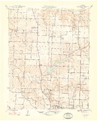
 1961 Ebenezer1962 Print · USGSNorth of Springfield in the early sixties, the landscape transitions from growing suburbs to established prairie farms and river valleys. Researchers can trace family roots at Greenlawn Cemetery or locate landmarks like Fantastic Caverns and McDaniel Lake.3 unique versions available
 - 1982 Map of Springfield, 1983 Print
 1982 Springfield1983 Print · USGSSpringfield and the surrounding Ozark plateau are captured in the early eighties as the region balanced urban growth with its agricultural roots. Genealogists and researchers can trace the locations of White Chapel, the State Sanatorium, and older rail stops like Brookline.
 - 1996 Map of Springfield, 2000 Print
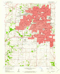
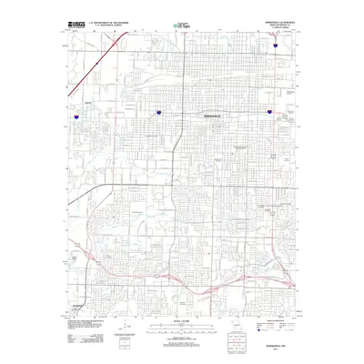
 1996 Springfield2000 Print · USGSSpringfield and Greene County at the turn of the millennium show a city shaped by major institutions and growing suburbs. Researchers can trace the grounds of Southwest Missouri State University, Springfield National Cem, and the historic community of Nichols.
 - 2011 Map of Ebenezer, 2011 Print
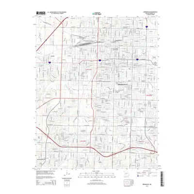
 2011 Ebenezer2011 Print · USGSCovers Doling Park, including Springfield, Pleasant Valley, and other nearby areas
 - 2011 Map of Springfield, 2011 Print
 2011 Springfield2011 Print · USGSCovers Doling Park, including Springfield, Battlefield, and other nearby areas
 - 2015 Map of Ebenezer, 2015 Print
 2015 Ebenezer2015 Print · USGSCovers Doling Park, including Springfield, Pleasant Valley, and other nearby areas
 - 2015 Map of Springfield, 2015 Print
 2015 Springfield2015 Print · USGSCovers Doling Park, including Springfield, Battlefield, and other nearby areas
 - 2017 Map of Springfield, 2017 Print
 2017 Springfield2017 Print · USGSCovers Doling Park, including Springfield, Battlefield, and other nearby areas
 - 2017 Map of Ebenezer, 2017 Print
 2017 Ebenezer2017 Print · USGSCovers Doling Park, including Springfield, Pleasant Valley, and other nearby areas
 - 2021 Map of Springfield, 2021 Print
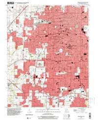
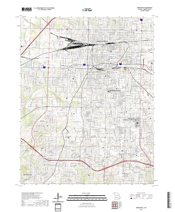 2021 Springfield2021 Print · USGSSpringfield and its southwestern suburbs are shown in 2021 as a major hub of industry, education, and historical preservation. Researchers can locate family sites and landmarks like Springfield National Cemetery, Nichols, and Payne Cemetery.
 - 2021 Map of Ebenezer, 2021 Print
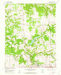
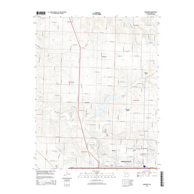
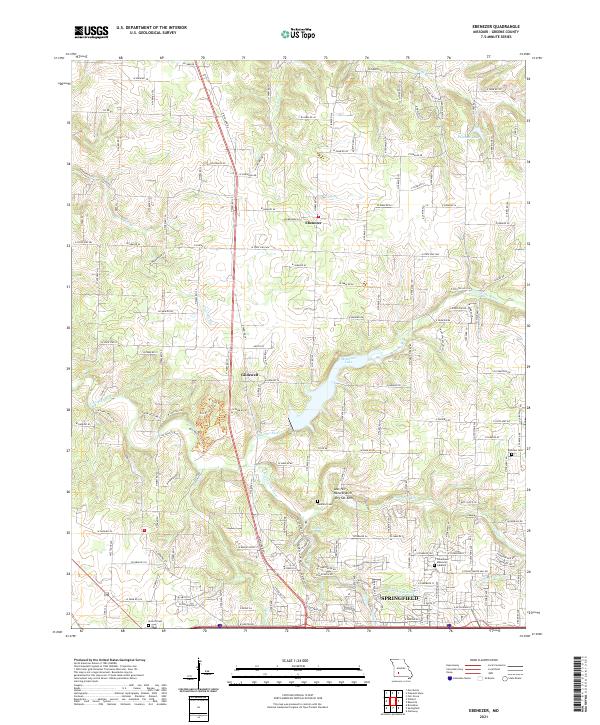 2021 Ebenezer2021 Print · USGSNorthern Greene County in the 2020s shows the suburban expansion of Springfield toward historic Ebenezer. Researchers can trace rural cemeteries like Antioch Cem and geologic landmarks like Natural Arch and Dry Sac Arch.
End of results
Showing maps 1-19 of 19
Frequently asked questions
- What are the different types of historical maps available for Doling Park?
- What is the oldest map of Doling Park?
- Where can I purchase historical maps of Doling Park for my home or office?
- Where can I download high-res historical maps of Doling Park?
- Are there historical topographic maps available for Doling Park?
- Is there historical aerial imagery available for Doling Park?
- Where are historical maps of Doling Park sourced from?