Old Maps of Trenton, Missouri for Hiking & Exploration
Hike through history with 15 historic maps of Trenton. Explore old trails, ghost towns, and forgotten backroads — perfect for outdoor adventurers and local explorers.
- Rediscover forgotten places: Map out old mining camps, roads, and footpaths that no longer exist on modern maps.
- Layer with modern tools: Combine with LiDAR or satellite views to plan hikes through historical terrain.
- Made for exploration: Popular among hikers, overlanders, and local history lovers.
Use these maps to find adventure and explore the hidden past of Trenton.
Trenton, MO maps
(15)- 1948 Map of Trenton
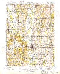 1948 Trenton1948 Print · USGSGrundy County in the late 1940s shows a landscape of tight-knit rural communities and bustling rail corridors. Researchers can trace dozens of local schoolhouses and country churches, from Paint Lick Ch to the Big Oak Sch near Edinburg.2 unique versions available
 - 1954 Map of Centerville, 1967 Print
 1954 Centerville1967 Print · USGSThe Iowa-Missouri borderlands at mid-century reveal a landscape shaped by river valleys and the height of the regional rail network. Genealogists and historians can trace the paths of the Wabash railroad and locate old townsites like Mystic, Moulton, and Greentop.3 unique versions available
 - 1957 Map of Centerville
 1957 Centerville1957 Print · USGSThe Iowa-Missouri borderlands in the mid-fifties reveal a landscape of river-valley agriculture and vital rail corridors. Genealogists and historians can trace family-named landmarks and small-town growth in Centerville, Kirksville, and along the Wabash railroad line.
 - 1958 Map of Centerville
 1958 Centerville1958 Print · USGSThe Iowa-Missouri borderlands come into focus during the mid-fifties, showing a landscape defined by river valleys and intersecting rail lines. Genealogists and local historians can trace family roots through dozens of rural hubs like Bloomfield, Unionville, and Corydon.
 - 1981 Map of Trenton
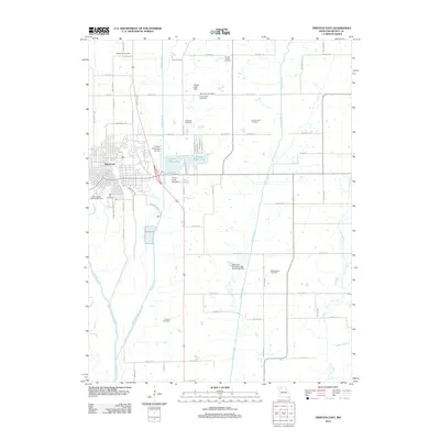
 1981 Trenton1981 Print · USGSNorthern Missouri in the early eighties remains a landscape defined by its river valleys and intersecting rail lines. Genealogists and local historians can trace the development of riverside towns like Trenton and Princeton or locate smaller rural junctions such as Humphreys and Brimson.
 - 1984 Map of Trenton West
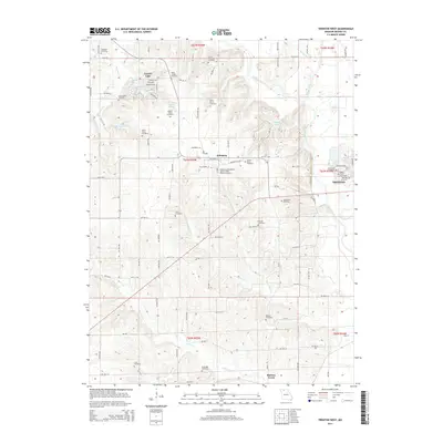
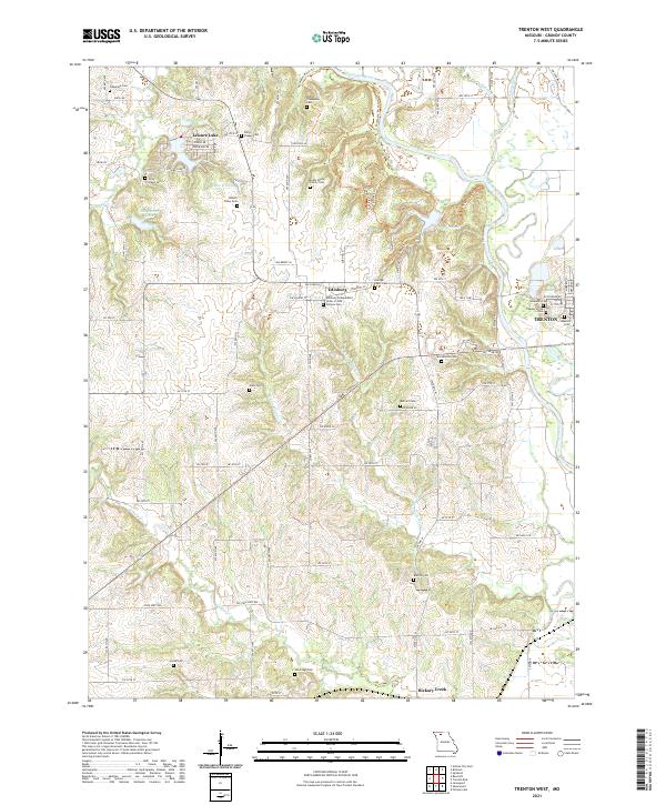
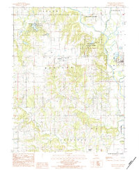 1984 Trenton West1984 Print · USGSGrundy County in the mid-1980s shows the suburban and recreational growth west of the Thompson River. Researchers can trace the development of Leisure Lake, the boundaries of Crowder State Park, and the quiet rural character of Edinburg.
 - 1984 Map of Trenton East
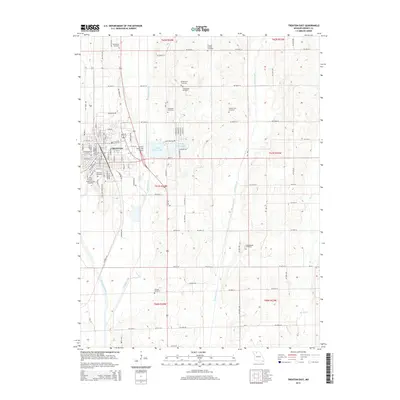
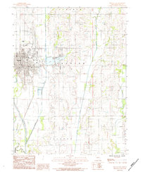 1984 Trenton East1984 Print · USGSThe eastern reaches of Grundy County come into focus in the mid-eighties as the city of Trenton expands toward the prairie creeks. Local researchers can trace family landmarks and civic infrastructure from Trenton Lake to the rural Cem and Airport.
 - 2012 Map of Trenton West, 2012 Print
 2012 Trenton West2012 Print · USGSCovers Trenton, including Edinburg, Grundy County, and other nearby areas
 - 2012 Map of Trenton East, 2012 Print
 2012 Trenton East2012 Print · USGSCovers Trenton, including Grundy County, United States, and other nearby areas
 - 2014 Map of Trenton East, 2014 Print
 2014 Trenton East2014 Print · USGSCovers Trenton, including Grundy County, United States, and other nearby areas
 - 2014 Map of Trenton West, 2014 Print
 2014 Trenton West2014 Print · USGSCovers Trenton, including Edinburg, Grundy County, and other nearby areas
 - 2017 Map of Trenton East, 2017 Print
 2017 Trenton East2017 Print · USGSCovers Trenton, including Grundy County, United States, and other nearby areas
 - 2017 Map of Trenton West, 2017 Print
 2017 Trenton West2017 Print · USGSCovers Trenton, including Edinburg, Grundy County, and other nearby areas
 - 2021 Map of Trenton East, 2021 Print
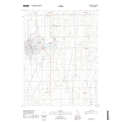
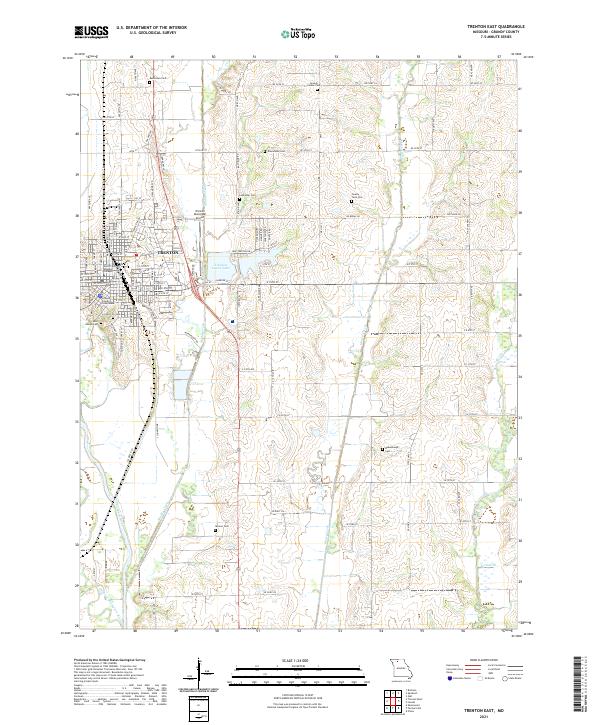 2021 Trenton East2021 Print · USGSThe seat of Grundy County is captured here in the early 2020s, showing the intersection of local government and the Missouri landscape. Genealogists can trace family roots through several rural burial sites, including Old City Cem, County Farm Cem, and Skinner Cem.
 - 2021 Map of Trenton West, 2021 Print
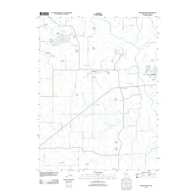
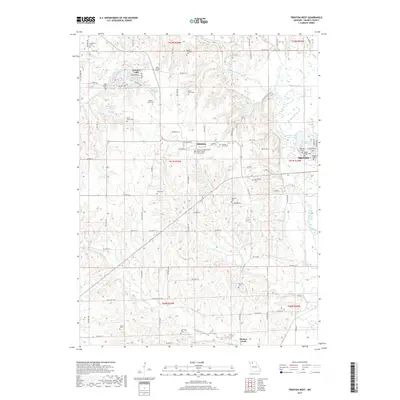
 2021 Trenton West2021 Print · USGSGrundy County farmland is documented here in the early twenty-first century, showing the rural landscape around Edinburg. Family historians can trace numerous burial sites including the Evans Peery Family Cem and the Edinburg Independent Order of Odd Fellows Cem.
End of results
Showing maps 1-15 of 15
Top cities near Trenton
- Jamesport historical maps
- Spickard historical maps
- Galt historical maps
- Laredo historical maps
- Chula historical maps
- Tindall historical maps
See more
Frequently asked questions
- What are the different types of historical maps available for Trenton?
- What is the oldest map of Trenton?
- Where can I purchase historical maps of Trenton for my home or office?
- Where can I download high-res historical maps of Trenton?
- Are there historical topographic maps available for Trenton?
- Is there historical aerial imagery available for Trenton?
- Where are historical maps of Trenton sourced from?