Old Maps of Ridgeway, Missouri for Hiking & Exploration
Hike through history with 15 historic maps of Ridgeway. Explore old trails, ghost towns, and forgotten backroads — perfect for outdoor adventurers and local explorers.
- Rediscover forgotten places: Map out old mining camps, roads, and footpaths that no longer exist on modern maps.
- Layer with modern tools: Combine with LiDAR or satellite views to plan hikes through historical terrain.
- Made for exploration: Popular among hikers, overlanders, and local history lovers.
Use these maps to find adventure and explore the hidden past of Ridgeway.
Ridgeway, MO maps
(15)- 1947 Map of Blythedale
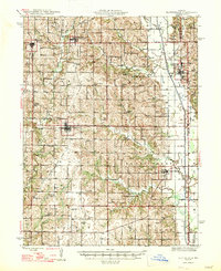 1947 Blythedale1947 Print · USGSNorthern Missouri's agricultural heartland is documented here in the late 1940s, showing a landscape densely dotted with local schoolhouses and family cemeteries. Genealogists can trace roots through the Chicago Burlington and Quincy rail line and sites like Yankee Ridge Cem or Green Castle Sch.2 unique versions available
 - 1954 Map of Centerville, 1967 Print
 1954 Centerville1967 Print · USGSThe Iowa-Missouri borderlands at mid-century reveal a landscape shaped by river valleys and the height of the regional rail network. Genealogists and historians can trace the paths of the Wabash railroad and locate old townsites like Mystic, Moulton, and Greentop.3 unique versions available
 - 1957 Map of Centerville
 1957 Centerville1957 Print · USGSThe Iowa-Missouri borderlands in the mid-fifties reveal a landscape of river-valley agriculture and vital rail corridors. Genealogists and historians can trace family-named landmarks and small-town growth in Centerville, Kirksville, and along the Wabash railroad line.
 - 1958 Map of Centerville
 1958 Centerville1958 Print · USGSThe Iowa-Missouri borderlands come into focus during the mid-fifties, showing a landscape defined by river valleys and intersecting rail lines. Genealogists and local historians can trace family roots through dozens of rural hubs like Bloomfield, Unionville, and Corydon.
 - 1981 Map of Trenton
 1981 Trenton1981 Print · USGSNorthern Missouri in the early eighties remains a landscape defined by its river valleys and intersecting rail lines. Genealogists and local historians can trace the development of riverside towns like Trenton and Princeton or locate smaller rural junctions such as Humphreys and Brimson.
 - 1984 Map of Gardner, 1985 Print
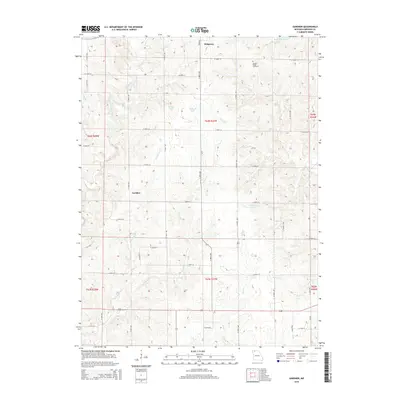
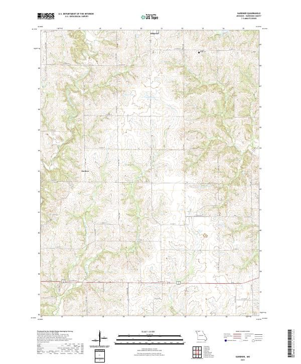
 1984 Gardner1985 Print · USGSNorthern Missouri farmland is captured here in the mid-1980s, showcasing the rural crossroads of Gardner and the surrounding townships. Researchers can trace the path of the Old Railroad and locate local landmarks like Polecat Creek and the Cem sites.
 - 1984 Map of Eagleville, 1985 Print
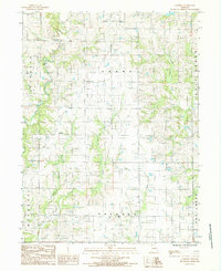
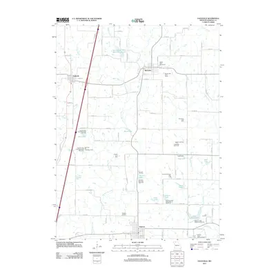
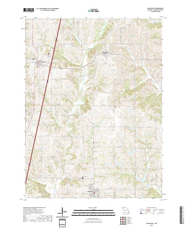
 1984 Eagleville1985 Print · USGSHarrison County in the early eighties shows a landscape of established farmsteads and creek-carved hillsides. Genealogists and historians can trace the early layout of Eagleville, Blythedale, and Ridgeway or locate rural landmarks like Rock House Lake and several local Cem sites.
 - 2012 Map of Gardner, 2012 Print
 2012 Gardner2012 Print · USGSCovers Ridgeway, including Gardner, Harrison County, and other nearby areas
 - 2012 Map of Eagleville, 2012 Print
 2012 Eagleville2012 Print · USGSCovers Ridgeway, including Eagleville, Blythedale, and other nearby areas
 - 2015 Map of Eagleville, 2015 Print
 2015 Eagleville2015 Print · USGSCovers Ridgeway, including Eagleville, Blythedale, and other nearby areas
 - 2015 Map of Gardner, 2015 Print
 2015 Gardner2015 Print · USGSCovers Ridgeway, including Gardner, Harrison County, and other nearby areas
 - 2017 Map of Eagleville, 2017 Print
 2017 Eagleville2017 Print · USGSCovers Ridgeway, including Eagleville, Blythedale, and other nearby areas
 - 2017 Map of Gardner, 2017 Print
 2017 Gardner2017 Print · USGSCovers Ridgeway, including Gardner, Harrison County, and other nearby areas
 - 2021 Map of Eagleville, 2021 Print
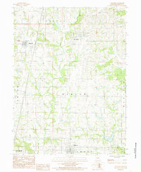
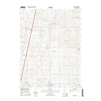
 2021 Eagleville2021 Print · USGSHarrison County farm country is documented here during the early twenty-first century, showing the rural communities of Eagleville and Ridgeway. Family historians can locate specific burial grounds like Ridgeway Cem and Lilly Cem among the local hills.
 - 2021 Map of Gardner, 2021 Print
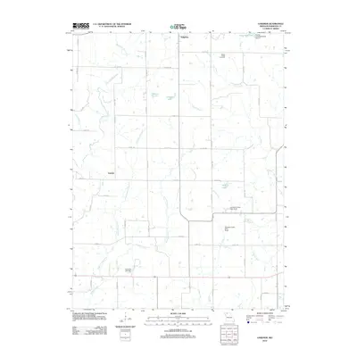
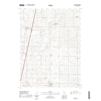
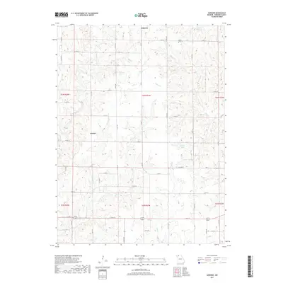
 2021 Gardner2021 Print · USGSHarrison County at the start of the 2020s shows a landscape of small agricultural settlements and sprawling creek networks. Genealogists and local historians can locate Yankee Ridge Cem and trace the paths of East Fork Big Creek or Polecat Cr.
End of results
Showing maps 1-15 of 15
Top cities near Ridgeway
- Bethany historical maps
- Cainsville historical maps
- Eagleville historical maps
- Blythedale historical maps
- Mount Moriah historical maps
- Pleasanton historical maps
Frequently asked questions
- What are the different types of historical maps available for Ridgeway?
- What is the oldest map of Ridgeway?
- Where can I purchase historical maps of Ridgeway for my home or office?
- Where can I download high-res historical maps of Ridgeway?
- Are there historical topographic maps available for Ridgeway?
- Is there historical aerial imagery available for Ridgeway?
- Where are historical maps of Ridgeway sourced from?