Old Maps of Urich, Missouri for Academic Research
Study the evolution of Urich with 25 high-resolution historic maps. Whether you're teaching, researching, or modeling changes in land use, these maps provide essential visual documentation of urban, environmental, and geographic change.
- Analyze long-term change: Track patterns in development, transportation, and natural features.
- Ideal for environmental or urban studies: Support academic projects with primary historical map data.
- Use in the classroom or lab: Educators and researchers rely on these maps to bring historical context to life.
These maps are a powerful tool for teaching, research, and visualizing how Urich has changed over the decades.
Urich, MO maps
(25)- 1887 Map of Clinton
 1887 Clinton1887 Print · USGSWest-Central Missouri is captured during a period of rapid railroad expansion in the 1880s, centered on the growing junction at Clinton. Researchers can trace early township developments and find established settlements like Chalk Level, Iconium, and Brownington along the winding Osage River.
 - 1887 Map of Butler
 1887 Butler1887 Print · USGSBates County is captured here in the 1880s as the rail and river economies converged. Researchers can trace the early footprints of Butler and Rich Hill, or locate smaller disappeared locales like Carbon Centre and Crescent Hill.
 - 1894 Map of Butler
 1894 Butler1894 Print · USGSBates County is captured here in the late nineteenth century as the railroad began to redefine its rural economy. Genealogists can trace family roots through the grids of Butler and Rich Hill, or locate smaller centers like Papinsville and Crescent Hill.4 unique versions available
 - 1894 Map of Clinton
 1894 Clinton1894 Print · USGSHenry County and St. Clair County thrive during the peak of the railroad era in the 1890s. Genealogists and historians can trace the early rail stops at Clinton and Brownington, or locate vanished post offices like Chalk Level and Huntingdale.4 unique versions available
 - 1947 Map of Jefferson City, 1949 Print
 1947 Jefferson City1949 Print · USGSCentral Missouri and the northern Ozarks come into focus in this late 1940s survey of the river-and-rail landscape. Genealogists and historians can trace the growth of Jefferson City and Sedalia or locate family roots near Bagnell Dam and the Lake of the Ozarks.
 - 1947 Map of Lawrence, 1954 Print
 1947 Lawrence1954 Print · USGSEastern Kansas and western Missouri thrive in the late 1940s, showing a landscape defined by major river valleys and a dense railway network. Genealogists can trace family settlements from Lawrence to Greenwood and locate landmarks like Olathe Navy and Lake Lotawana.
 - 1950 Map of Lawrence
 1950 Lawrence1950 Print · USGSMid-century Kansas and Missouri come alive in this map of the river-valley corridors just as the interstate era was beginning. Researchers can trace the legacy of major rail lines like the Union Pacific RR and locate ancestral roots in towns from Lawrence to Harrisonville.
 - 1953 Map of Hartwell, 1955 Print
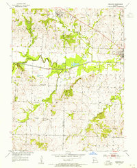
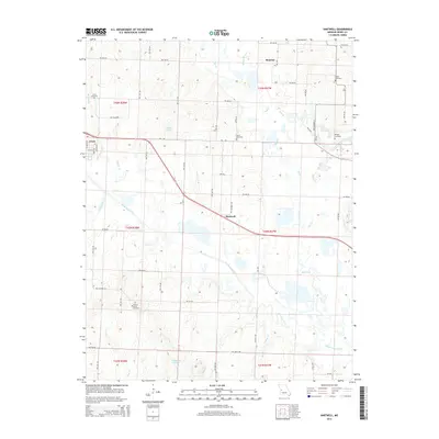
 1953 Hartwell1955 Print · USGSHenry County is captured here in the early fifties during a period of rural transition along the St Louis San Francisco railroad. Genealogists can trace family footprints at Hickory Grove Cem or locate the Enterprise Sch (Abandoned) and Marvin Sch.3 unique versions available
 - 1953 Map of Creighton, 1955 Print
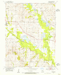
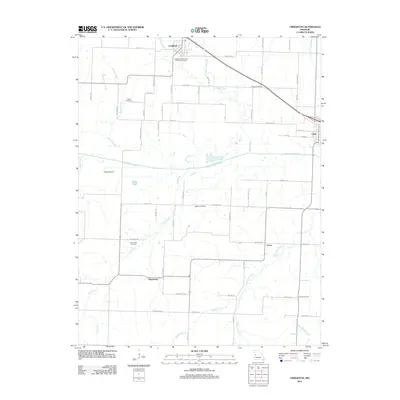
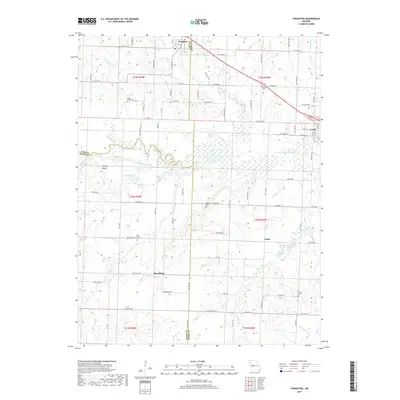
 1953 Creighton1955 Print · USGSCreighton and Urich sat at a busy county-line junction in the early fifties, before the landscape was altered by modern river management. Genealogists can trace rural roots at Smoky Row Sch, Cove Creek Ch, and family burial grounds like Parker Cem.
 - 1954 Map of Jefferson City
 1954 Jefferson City1954 Print · USGSCentral Missouri in the early postwar years showcases a landscape defined by the winding Lake of the Ozarks and the state capital at Jefferson City. Researchers can trace the mid-century rail networks of the Missouri Pacific RR and locate rural communities like Tuscumbia, St Elizabeth, and St Anthony.2 unique versions available
 - 1955 Map of Jefferson City, 1967 Print
 1955 Jefferson City1967 Print · USGSCentral Missouri in the mid-fifties is defined by the winding Missouri River and the expanding reach of Lake of the Ozarks. Researchers can trace the rail corridors of the Missouri Pacific or locate the early footprint of Whiteman AFB and Jefferson City.4 unique versions available
 - 1956 Map of Lawrence, 1967 Print
 1956 Lawrence1967 Print · USGSEastern Kansas and the Missouri border country are captured here during the mid-century transition to the interstate era. Genealogists and local historians can trace family-named terrain like Summers Mound and the footprint of Sunflower Ordnance Works near Baldwin City.4 unique versions available
 - 1958 Map of Jefferson City
 1958 Jefferson City1958 Print · USGSCentral Missouri in the late fifties shows a region transforming through the growth of Whiteman Air Force Base and the Lake of the Ozarks. Researchers can trace rail lines like the Missouri Pacific or find family roots at Enloe Cemetery and Mount Pleasant Cem.
 - 1959 Map of Jefferson City
 1959 Jefferson City1959 Print · USGSCentral Missouri is captured during the mid-fifties as the river economy and rail networks like the Missouri Pacific met the rise of the automobile. Local researchers can trace family landmarks and rural infrastructure from the Lake of the Ozarks up to Providence Cemetery and Knob Noster State Park.
 - 1961 Map of Lawrence
 1961 Lawrence1961 Print · USGSThe Kansas-Missouri borderland shows its mid-century transition from a rail-dependent agricultural region to a suburbanizing landscape. Genealogists can trace family footprints through numerous Cem sites and distinctive terrain landmarks like Graves Mound and Summers Mound.
 - 1981 Map of Butler
 1981 Butler1981 Print · USGSWestern Missouri and eastern Kansas settlements are documented here in the early eighties, as the river valleys were transitioning into major wildlife management areas. Genealogists can locate family names near Greenlawn Cem or trace the development of towns like Butler, Osawatomie, and Appleton City.
 - 1983 Map of Harry S Truman Reservoir, 1984 Print
 1983 Harry S Truman Reservoir1984 Print · USGSBenton and Henry counties center on the vast Harry S Truman Reservoir in the early 1980s as the landscape adapted to its new shoreline. Genealogists and historians can trace old river crossings like Bledsoe Ferry, local landmarks like Mt Zion Ch, and unique settlements such as Tightwad.
 - 2011 Map of Hartwell, 2011 Print
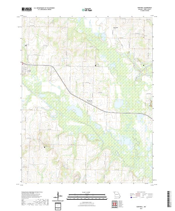
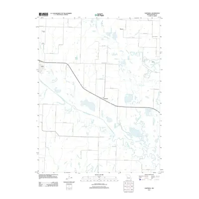 2011 Hartwell2011 Print · USGSCovers Urich, including Maurine, Hartwell, and other nearby areas
 - 2011 Map of Creighton, 2011 Print
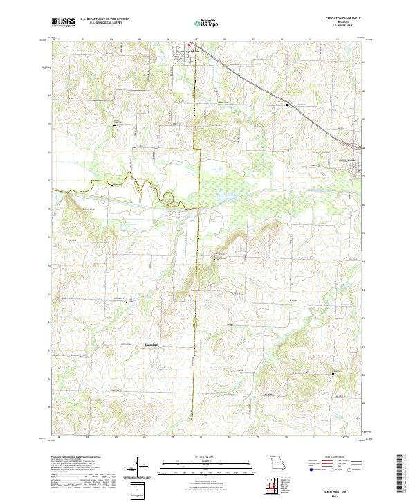
 2011 Creighton2011 Print · USGSCovers Urich, including Creighton, Mayesburg, and other nearby areas
 - 2014 Map of Creighton, 2014 Print
 2014 Creighton2014 Print · USGSCovers Urich, including Creighton, Mayesburg, and other nearby areas
 - 2014 Map of Hartwell, 2014 Print
 2014 Hartwell2014 Print · USGSCovers Urich, including Maurine, Hartwell, and other nearby areas
 - 2017 Map of Hartwell, 2017 Print
 2017 Hartwell2017 Print · USGSCovers Urich, including Maurine, Hartwell, and other nearby areas
 - 2017 Map of Creighton, 2017 Print
 2017 Creighton2017 Print · USGSCovers Urich, including Creighton, Mayesburg, and other nearby areas
 - 2021 Map of Creighton, 2021 Print
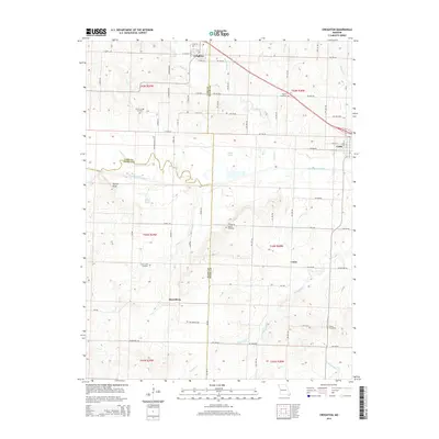
 2021 Creighton2021 Print · USGSThe rural borders of Cass and Henry counties come together in the early 2020s amidst a landscape of river bends and prairie roads. Researchers can locate numerous family burial sites like the Parker - Gregg Cem or trace the early paths through Mayesburg and Lucas.
 - 2021 Map of Hartwell, 2021 Print
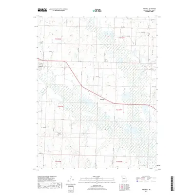
 2021 Hartwell2021 Print · USGSHenry County, Missouri, is shown here in the modern era as a landscape of rural townships and winding river bottoms. Genealogists can trace family roots at Hickory Grove Cem and Norris Cem, or explore the historic settlements of Urich and Hartwell.
End of results
Showing maps 1-25 of 25
Top cities near Urich
- Clinton historical maps
- Garden City historical maps
- Deepwater historical maps
- Montrose historical maps
- Creighton historical maps
- Chilhowee historical maps
See more
Frequently asked questions
- What are the different types of historical maps available for Urich?
- What is the oldest map of Urich?
- Where can I purchase historical maps of Urich for my home or office?
- Where can I download high-res historical maps of Urich?
- Are there historical topographic maps available for Urich?
- Is there historical aerial imagery available for Urich?
- Where are historical maps of Urich sourced from?