Old Maps of Big Lake, Missouri for Hiking & Exploration
Hike through history with 12 historic maps of Big Lake. Explore old trails, ghost towns, and forgotten backroads — perfect for outdoor adventurers and local explorers.
- Rediscover forgotten places: Map out old mining camps, roads, and footpaths that no longer exist on modern maps.
- Layer with modern tools: Combine with LiDAR or satellite views to plan hikes through historical terrain.
- Made for exploration: Popular among hikers, overlanders, and local history lovers.
Use these maps to find adventure and explore the hidden past of Big Lake.
Big Lake, MO maps
(12)- 1920 Map of Craig
 1920 Craig1920 Print · USGSThe Missouri River bottoms and neighboring bluffs come alive in this post-war survey of the Nebraska-Missouri border. Researchers can trace dozens of rural landmarks, from the streets of Rulo and Bigelow to scattered schoolhouses like Brush College School and Idlewild School.5 unique versions available
 - 1955 Map of Nebraska City, 1967 Print
 1955 Nebraska City1967 Print · USGSThe four-state region surrounding the Missouri River valley appears here in the mid-1950s, a landscape of rail-dependent market towns and rural school districts. Genealogists can locate family landmarks like the Rock Bluff School, St Oswald Church, and the Clarinda State Hospital.3 unique versions available
 - 1957 Map of Nebraska City
 1957 Nebraska City1957 Print · USGSThe four-state junction of Nebraska, Iowa, Missouri, and Kansas comes alive in this mid-fifties survey of the Missouri River valley. Genealogists and historians can trace the rail-and-road networks connecting Nebraska City, Maryville, and the Squaw Creek National Wildlife Refuge.
 - 1958 Map of Nebraska City
 1958 Nebraska City1958 Print · USGSThe Missouri River Valley and its fertile four-state borderlands are captured here during the mid-century expansion of the regional highway and rail networks. Genealogists can trace family roots through numerous rural landmarks like Moulton School, Shady Grove Church, and the Clarinda State Hospital.
 - 1981 Map of Big Lake, 1982 Print
 1981 Big Lake1982 Print · USGSThe Missouri River floodplain comes to life in the early 1980s, documenting the vital wetlands and small rail towns along the Nebraska border. Genealogists can trace family names at Tarkio Chapel Cem and Laukemper Cem or locate the old Bigelow station.
 - 1986 Map of Falls City
 1986 Falls City1986 Print · USGSThe Missouri River borderlands of Nebraska and Missouri were a landscape of established colleges and river-bound railroads in the mid-1980s. Researchers can locate long-standing landmarks like Peru State College, the Iowa Indian Reservation, and St Johns Cem.2 unique versions available
 - 2010 Map of Big Lake, 2010 Print
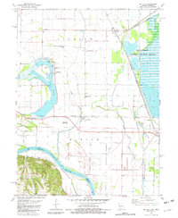
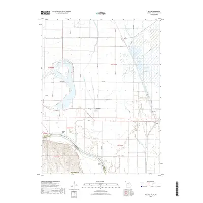
 2010 Big Lake2010 Print · USGSCovers Big Lake, including Fortescue, Bigelow, and other nearby areas
 - 2012 Map of Big Lake, 2012 Print
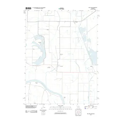
 2012 Big Lake2012 Print · USGSCovers Big Lake, including Fortescue, Bigelow, and other nearby areas
 - 2015 Map of Big Lake, 2015 Print
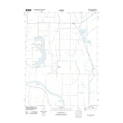
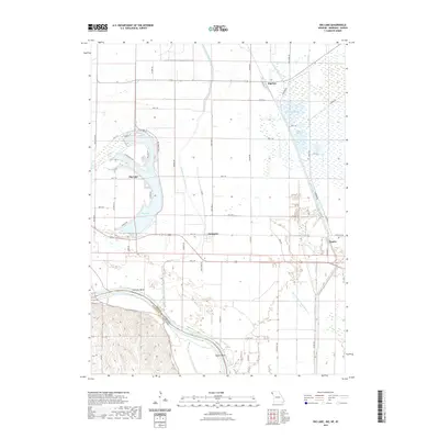
 2015 Big Lake2015 Print · USGSCovers Big Lake, including Fortescue, Bigelow, and other nearby areas
 - 2017 Map of Big Lake, 2017 Print
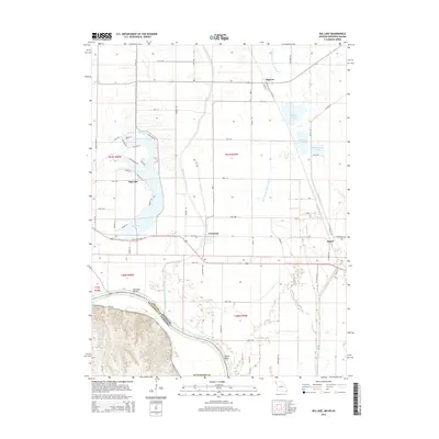
 2017 Big Lake2017 Print · USGSCovers Big Lake, including Fortescue, Bigelow, and other nearby areas
 - 2021 Map of Big Lake, 2021 Print
 2021 Big Lake2021 Print · USGSCovers Big Lake, including Fortescue, Bigelow, and other nearby areas
 - 2023 Map of Big Lake, 2023 Print
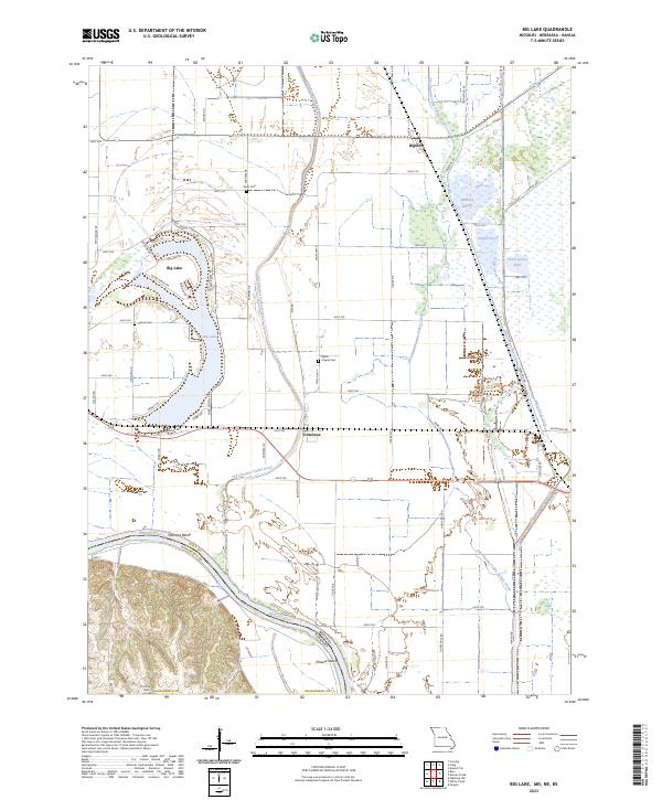 2023 Big Lake2023 Print · USGSThe Missouri River floodplain near the Nebraska border shows a landscape of former river channels and reclaimed marshlands in the early 2020s. Genealogists can locate rural burial grounds like Sauer Cem and Partlow Cem or trace the legacy of the BNSF Railway through Bigelow.
End of results
Showing maps 1-12 of 12
Top cities near Big Lake
- Hiawatha historical maps
- Mound City historical maps
- Highland historical maps
- Oregon historical maps
- Forest City historical maps
- Craig historical maps
See more
Frequently asked questions
- What are the different types of historical maps available for Big Lake?
- What is the oldest map of Big Lake?
- Where can I purchase historical maps of Big Lake for my home or office?
- Where can I download high-res historical maps of Big Lake?
- Are there historical topographic maps available for Big Lake?
- Is there historical aerial imagery available for Big Lake?
- Where are historical maps of Big Lake sourced from?