Old Maps of Armstrong, Missouri
Explore 11 old maps of Armstrong, spanning from 1890 to today. These high-resolution historic maps reveal how streets, neighborhoods, landmarks, and natural features evolved over time — perfect for genealogy, metal detecting, research, and local history exploration.
What you can do with these maps:
- See how Armstrong changed over time: Compare historical maps to modern-day views to trace roads, homesites, rail lines & more.
- View detailed metadata: Each map includes creators, publishers, year, scale, and archive source.
- Overlay maps with satellite & LiDAR: Visualize the past alongside modern tools to explore terrain & human change.
- Trusted historical sources: Maps sourced from the USGS, Library of Congress, and other archives.
- Access maps your way: View online, download high-res files, or order prints for personal or research use.
Start exploring old maps of Armstrong to uncover forgotten places, hidden landmarks, and the deep history beneath your feet.
Armstrong, MO maps
(11)- 1890 Map of Glasgow
 1890 Glasgow1890 Print · USGSCentral Missouri in the late nineteenth century was a bustling intersection of river traffic and new rail lines. Genealogists and historians can trace family roots through riverfront towns like Arrow Rock and Glasgow, or locate rural sites like Jackman Mills and Whites Store.5 unique versions available
 - 1953 Map of Moberly
 1953 Moberly1953 Print · USGSMid-century north-central Missouri is documented here as a bustling intersection of river commerce and heavy rail. Researchers can trace historic family-named landmarks and transport hubs from the Missouri River corridor to the rail yards of Moberly, Chillicothe, and Macon.
 - 1953 Map of Armstrong, 1955 Print
 1953 Armstrong1955 Print · USGSHoward and Randolph counties come alive in the mid-1950s as the rail-driven economy of the Missouri interior is captured in fine detail. Genealogists can trace family footprints at Wesley Chapel Cem, Sharon Sch, and the busy rail hub of Armstrong.2 unique versions available
 - 1954 Map of Moberly, 1969 Print
 1954 Moberly1969 Print · USGSMid-century Missouri is captured here during a period of transition for its river towns and rail hubs. Genealogists and historians can trace the paths of the Wabash railroad through Moberly or explore the riverside layout of Lexington and Brunswick.3 unique versions available
 - 1957 Map of Moberly
 1957 Moberly1957 Print · USGSNorth-central Missouri in the late nineteen-forties and fifties remains a landscape defined by its great rivers and a dense network of steam and diesel rail lines. Genealogists and historians can trace the paths of the Wabash RR and Santa Fe RR through historic junctions like Moberly, Brookfield, and Macon.
 - 1960 Map of Moberly
 1960 Moberly1960 Print · USGSCentral Missouri comes alive in the mid-twentieth century as a bustling network of river towns and significant rail corridors. Genealogists and historians can trace the paths of the Wabash RR through Moberly or explore the riverfronts of Lexington and Brunswick.
 - 1985 Map of Moberly
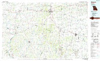 1985 Moberly1985 Print · USGSCentral Missouri in the mid-eighties shows a landscape of rail-connected towns and active resource extraction across Randolph and Howard Counties. Genealogists and historians can locate family landmarks like Sunset Hill Cem or trace the Norfolk and Western RR through Moberly and Salisbury.2 unique versions available
 - 2012 Map of Armstrong, 2012 Print
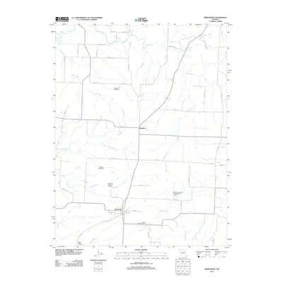 2012 Armstrong2012 Print · USGSHoward County's agricultural heartland is documented here in the early twenty-first century, centered on the communities of Armstrong and Roanoke. Researchers can trace local lineage and land use through the Wesley Chapel Cemetery and namesake landmarks like Stroupe Lake Dam.
 - 2014 Map of Armstrong, 2014 Print
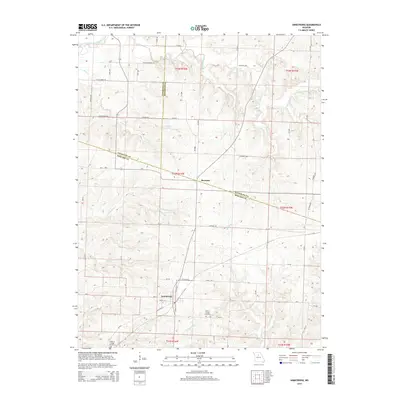 2014 Armstrong2014 Print · USGSHoward and Randolph counties meet in this 2014 survey of the Missouri interior, centered on the historic town of Armstrong. Researchers can trace local lineage at Wesley Chapel Cemetery and Walnut Ridge Cemetery or follow the winding banks of Silver Creek.
 - 2017 Map of Armstrong, 2017 Print
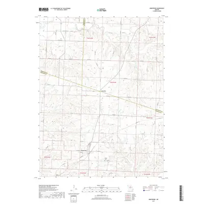 2017 Armstrong2017 Print · USGSHoward and Randolph counties are shown in detail here during the late twenty-teens, centering on the farming communities north of Fayette. Researchers can trace ancestral roots at Wesley Chapel Cem or explore the drainage patterns of Silver Creek and Armstrong.
 - 2021 Map of Armstrong, 2021 Print
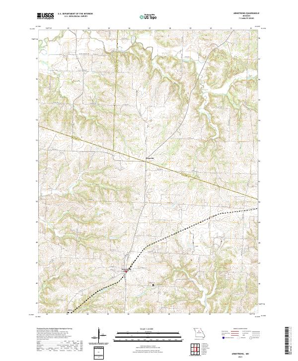 2021 Armstrong2021 Print · USGSThe rural borderlands of Chariton, Randolph, and Howard counties are captured in this recent survey. Local historians can trace the roads and waterways connecting Armstrong and Roanoke, or locate family burial sites at Wesley Cem and Walnut Hill Cem.
End of results
Showing maps 1-11 of 11
Top cities near Armstrong
- Moberly historical maps
- Fayette historical maps
- Huntsville historical maps
- Salisbury historical maps
- Glasgow historical maps
- Higbee historical maps
See more
Frequently asked questions
- What are the different types of historical maps available for Armstrong?
- What is the oldest map of Armstrong?
- Where can I purchase historical maps of Armstrong for my home or office?
- Where can I download high-res historical maps of Armstrong?
- Are there historical topographic maps available for Armstrong?
- Is there historical aerial imagery available for Armstrong?
- Where are historical maps of Armstrong sourced from?