2021 Map of Armstrong
USGS Topo · Published 2021About this map
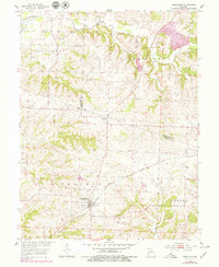
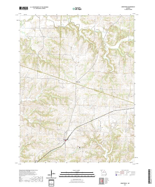
Armstrong and Roanoke anchor this central Missouri landscape, where the borders of Chariton, Randolph, and Howard counties converge. The terrain is defined by a dense network of drainage systems, including Silver Creek, Doxies Fork, and the winding N Fork Batts Cr, which carve through the rural countryside. The agricultural character of the region is evident in the many section lines and county roads, such as Silver Crossing Rd and Hickory Rd, that connect isolated farmsteads to the primary settlements.
Find a feature on this map
62 named features on this map. Tap any name to fly to it.
Don’t see what you’re looking for? This feature index may not catch every label — zoom into the map to look around manually.
Map Details
Editions of this 2021 Armstrong Map
This is the sole edition of this map. No revisions or reprints were ever made.