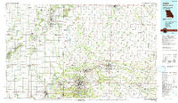
Old Maps of Sarcoxie, Missouri for Genealogy
Trace your family roots with 20 historic maps of Sarcoxie. These high-res maps reveal old neighborhoods, homesites, landmarks, and streets — helping you uncover where your ancestors lived and how the area evolved over time.
- Explore historic neighborhoods: Identify where your relatives may have lived in the 1800s or 1900s.
- Compare maps over time: Trace the changes in streets, buildings, and landmarks for multi-generational research.
- Perfect for genealogy & ancestry research: Used by family historians and researchers to map out lineage and migration.
These maps are an incredible resource for exploring your personal connection to Sarcoxie's past.
Sarcoxie, MO maps
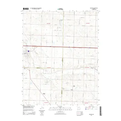
(20)- 1886 Map of Carthage
 1886 Carthage1886 Print · USGSJasper and Barton Counties thrive during the mid-1880s as the railroad era transforms the Missouri landscape into a bustling corridor of trade and industry. Genealogists and historians can trace the early footprints of Carthage, the mills at Bowers Mill, and the early rail connections through Webb City and Oronogo.
 - 1894 Map of Carthage
 1894 Carthage1894 Print · USGSSouthwest Missouri thrived as a rail and mining hub in the late nineteenth century. Genealogists can trace family roots through old settlements like Diamond City, Dudenville, and Bowers Mill during this period of growth.5 unique versions available
 - 1921 Map of Sarcoxie
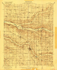 1921 Sarcoxie1921 Print · USGSJasper and Newton counties in the early 1920s reveal a flourishing agricultural landscape centered on the rail lines of the Pacific and Frisco. Genealogists and local historians can locate dozens of rural landmarks, from the Red Fox Mine to Union Chapel and Forest Mills.2 unique versions available
 - 1947 Map of Joplin, 1954 Print
 1947 Joplin1954 Print · USGSThe borderlands of Missouri, Kansas, and Oklahoma are shown here during the late 1940s, a period of heavy industrial and military activity. Researchers can trace the extensive Tri-State Mining District, the layout of Camp Crowder, and local landmarks like Mount Hope Cem.
 - 1949 Map of Joplin
 1949 Joplin1949 Print · USGSThe Kansas-Missouri borderlands thrive in the late 1940s, showing a robust network of railroad towns and river valleys. Researchers can trace historic rail lines like the Missouri Pacific RR and locate rural centers such as Chanute, Iola, and Fort Scott.
 - 1954 Map of Joplin, 1967 Print
 1954 Joplin1967 Print · USGSThe tri-state border region of Kansas, Missouri, and Oklahoma is captured here during a peak era of mid-century industrial and agricultural activity. Researchers can trace family history through dozens of rural cemeteries or locate landmarks like the Kansas Army Ammunition Plant and Pittsburg State University.3 unique versions available
 - 1958 Map of Joplin
 1958 Joplin1958 Print · USGSThe tri-state border region of Missouri, Kansas, and Oklahoma is shown during the late fifties, a time of heavy rail traffic and mining activity. Local historians can trace the industrial landscape through the Joplin & Pittsburg Ry or locate family sites like Zion Ch and Bender Mounds.
 - 1959 Map of Joplin
 1959 Joplin1959 Print · USGSThe Tri-State region’s mining and rail-driven economy is on full display in the late fifties. Genealogists can locate Lead and Zinc Mines near Joplin, family markers at Oak Hill Cem, and military history at Camp Clark.
 - 1971 Map of Sarcoxie, 1973 Print
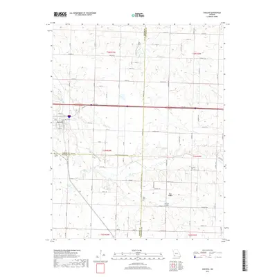
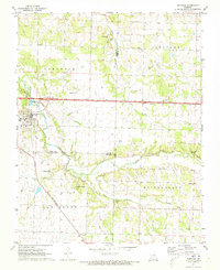 1971 Sarcoxie1973 Print · USGSSarcoxie and the surrounding townships in the early seventies sit at the intersection of three Missouri counties. Researchers can trace the St Louis - San Francisco rail line and locate rural landmarks like Cave Spring Cem, Clarkson Spring, and Bethany Ch.
 - 1971 Map of Reeds, 1973 Print
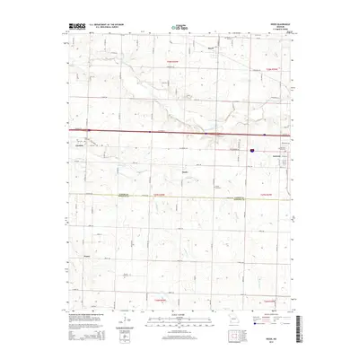
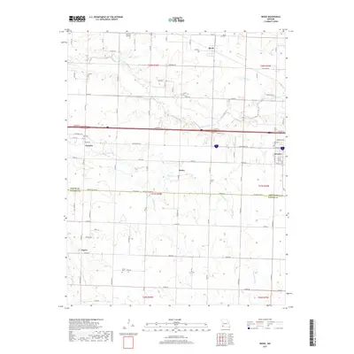
 1971 Reeds1973 Print · USGSThe southwestern Missouri countryside comes into focus during the early 1970s, showing the rural networks of Jasper and Newton Counties. Genealogists and historians can trace family roots through landmarks like Dudman Springs Ch, Pepsin, and Gem Cem.
 - 1986 Map of Joplin
 1986 Joplin1986 Print · USGSThe tri-state border region comes alive in the mid-eighties as an industrial and transit powerhouse where Kansas and Missouri meet. Researchers can trace the heavy rail influence of the Missouri Pacific RR and explore sites like the Mined Land State Wildlife Area.
 - 1991 Map of Joplin
 1991 Joplin1991 Print · USGSThe tri-state mining district and the Ozark foothills meet in the early 1990s as industrial land transitions into conservation areas. Genealogists and historians can trace the growth of Joplin and Baxter Springs or locate rural sites like Mount Hope Cem and Blue Mound.
 - 2011 Map of Reeds, 2011 Print
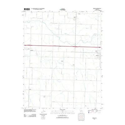 2011 Reeds2011 Print · USGSCovers Sarcoxie, including Reeds, Pepsin, and other nearby areas
 - 2011 Map of Sarcoxie, 2011 Print
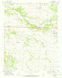
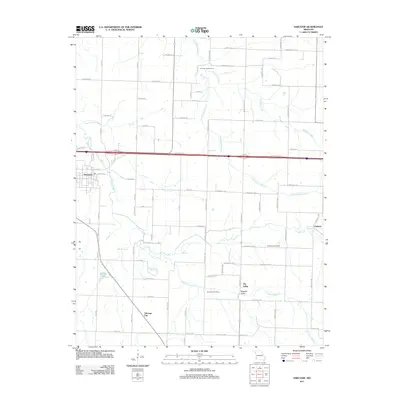 2011 Sarcoxie2011 Print · USGSCovers Sarcoxie, including Clarkson, Talmage City, and other nearby areas
 - 2015 Map of Sarcoxie, 2015 Print
 2015 Sarcoxie2015 Print · USGSCovers Sarcoxie, including Clarkson, Talmage City, and other nearby areas
 - 2015 Map of Reeds, 2015 Print
 2015 Reeds2015 Print · USGSCovers Sarcoxie, including Reeds, Pepsin, and other nearby areas
 - 2017 Map of Sarcoxie, 2017 Print
 2017 Sarcoxie2017 Print · USGSCovers Sarcoxie, including Clarkson, Talmage City, and other nearby areas
 - 2017 Map of Reeds, 2017 Print
 2017 Reeds2017 Print · USGSCovers Sarcoxie, including Reeds, Pepsin, and other nearby areas
 - 2021 Map of Sarcoxie, 2021 Print
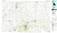
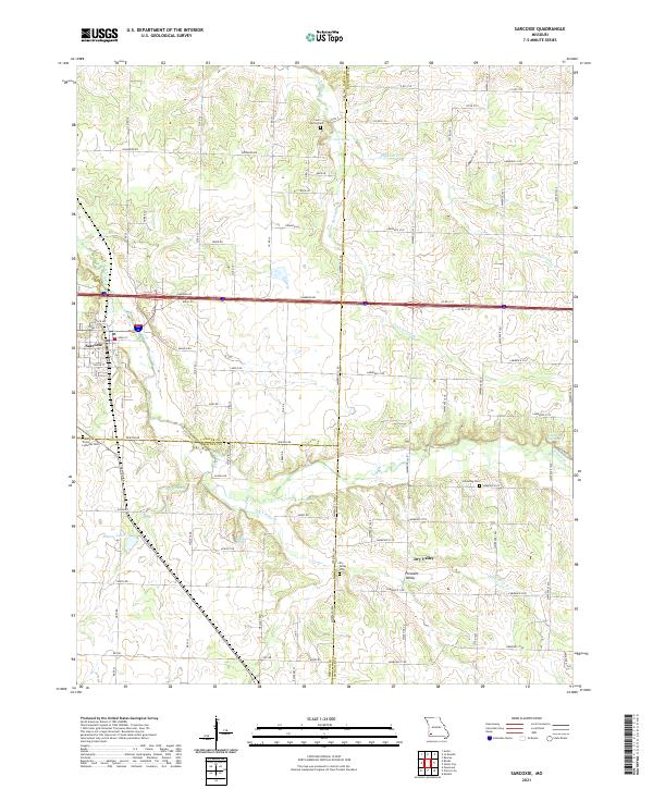 2021 Sarcoxie2021 Print · USGSSarcoxie and the surrounding tri-county borderlands of Jasper, Newton, and Lawrence counties are captured in this recent survey. Local historians can trace family locations through numerous rural burial grounds like Cave Spring Cem and Dry Valley Cem, or locate landmarks like Bleuins Lake and Haddock Spring.
 - 2021 Map of Reeds, 2021 Print
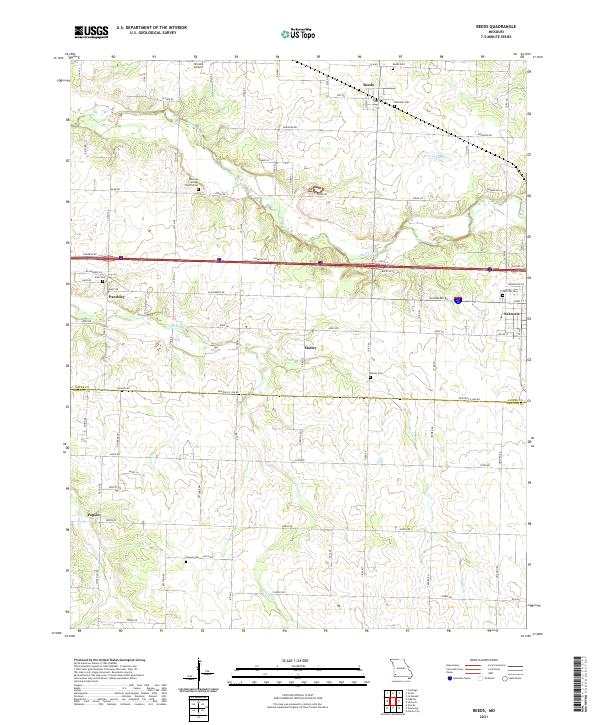 2021 Reeds2021 Print · USGSJasper and Newton counties are shown here in the early 2020s, featuring a landscape of small agricultural settlements and winding creek beds. Genealogists and local researchers can trace family lands near Dudman Springs Church Cem, Motley, and Reeds.
End of results
Showing maps 1-20 of 20
Top cities near Sarcoxie
- Carthage historical maps
- Neosho historical maps
- Monett historical maps
- Granby historical maps
- Pierce City historical maps
- Diamond historical maps
See more
Frequently asked questions
- What are the different types of historical maps available for Sarcoxie?
- What is the oldest map of Sarcoxie?
- Where can I purchase historical maps of Sarcoxie for my home or office?
- Where can I download high-res historical maps of Sarcoxie?
- Are there historical topographic maps available for Sarcoxie?
- Is there historical aerial imagery available for Sarcoxie?
- Where are historical maps of Sarcoxie sourced from?