Old Maps of Windsor Township, Missouri for Academic Research
Study the evolution of Windsor Township with 37 high-resolution historic maps. Whether you're teaching, researching, or modeling changes in land use, these maps provide essential visual documentation of urban, environmental, and geographic change.
- Analyze long-term change: Track patterns in development, transportation, and natural features.
- Ideal for environmental or urban studies: Support academic projects with primary historical map data.
- Use in the classroom or lab: Educators and researchers rely on these maps to bring historical context to life.
These maps are a powerful tool for teaching, research, and visualizing how Windsor Township has changed over the decades.
Windsor Township, MO maps
(37)- 1912 Map of Kimmswick
 1912 Kimmswick1912 Print · USGSThe Illinois bottomlands along the Mississippi River are shown here in the early twentieth century, just as the railroad was solidifying the region's economy. Genealogists and local researchers can trace the locations of Harrisonville, the Blue Church, and historic schools like Miles Prairie School.2 unique versions available
 - 1916 Map of Kimmswick
 1916 Kimmswick1916 Print · USGSThe Mississippi River valley comes alive in this early twentieth-century survey of the Missouri-Illinois borderlands. Genealogists and historians can trace defunct schoolhouses like Fawn Ridge School, river landings such as Harrisonville Landing, and the path of the St Louis Iron Mountain and Southern RR.6 unique versions available
 - 1948 Map of Kimmswick, 1955 Print
 1948 Kimmswick1955 Print · USGSThe Mississippi River corridor south of St. Louis appears here at a mid-century peak of rail and river industry. Researchers can trace historic river landings and rural schools like Harrisonville Landing, Blue Church, and the sprawling grounds of Jefferson Barracks.
 - 1949 Map of Saint Louis
 1949 Saint Louis1949 Print · USGSGreater St. Louis and its surrounding river valleys are captured here just after the war, showing the metropolitan core and the rural Ozark fringe. Researchers can trace the sprawling rail network of the Wabash RR or locate landmarks like Meramec Caverns Airport and Scott Air Force Base.2 unique versions available
 - 1954 Map of Oakville, 1959 Print
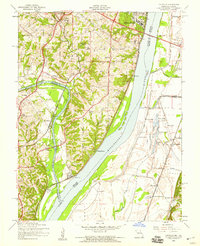 1954 Oakville1959 Print · USGSThe confluence of the Meramec and Mississippi rivers comes into focus during the mid-fifties, showing the growth of St. Louis County and the Illinois bottomlands. Researchers can trace the grounds of Jefferson Barracks, locate family plots at St Pauls Cem, or find long-standing community landmarks like Nazareth Convent.4 unique versions available
 - 1954 Map of Maxville, 1959 Print
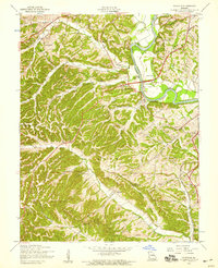 1954 Maxville1959 Print · USGSJefferson County and the St. Louis border are shown here during the mid-fifties, just as rural valley life met new transportation growth. Genealogists can locate family landmarks like McCormack Cem, Bowles Sch, and the winding Lemay Ferry Road.5 unique versions available
 - 1954 Map of Herculaneum, 1959 Print
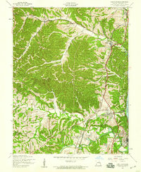 1954 Herculaneum1959 Print · USGSJefferson County in the mid-1950s shows a landscape shaped by river commerce and the rugged bluffs of the Mississippi River. Genealogists and researchers can trace family landmarks like Mahler Cem, St Lukes Ch, and the early footprints of Herculaneum and Pevely.4 unique versions available
 - 1954 Map of Valmeyer, 1959 Print
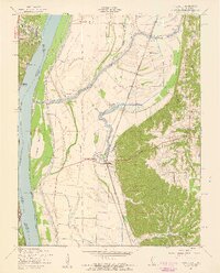 1954 Valmeyer1959 Print · USGSThe Illinois-Missouri borderlands in the mid-1950s showcase a landscape of river-bottom farms and bluff-side hollows along the Mississippi River. Researchers can trace old rail lines like the Missouri Pacific and find vanished rural schools including Central Sch and Miles Prairie Sch.4 unique versions available
 - 1954 Map of Kimmswick, 1960 Print
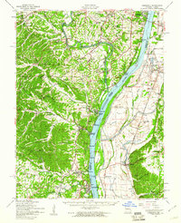 1954 Kimmswick1960 Print · USGSThe Mississippi River corridor south of St. Louis comes to life in the mid-fifties, showing the rail-dependent towns of Kimmswick and Herculaneum. Genealogists and historians can trace family landmarks like Richardson Cem, Point Sch, and Harrisonville Landing.2 unique versions available
 - 1962 Map of St. Louis
 1962 St. Louis1962 Print · USGSThe mid-century gateway to the west shows the metropolitan expansion of St Louis alongside its critical river confluences. Genealogists and historians can trace the rail corridors of the Missouri Pacific RR and settlements from Fulton to De Soto.
 - 1963 Map of St. Louis, 1970 Print
 1963 St. Louis1970 Print · USGSSt. Louis and its surrounding river valleys are captured here during the peak of mid-century suburban expansion and industrial activity. Trace the historic rail routes of the Norfolk and Western Ry or locate the St Louis Ordnance Plant and early stretches of US Highway 66.4 unique versions available
 - 1966 Map of St. Louis
 1966 St. Louis1966 Print · USGSThe St. Louis metropolitan area and its surrounding river valleys are captured here during the mid-sixties era of suburban growth and industrial strength. Genealogists and historians can trace the foundations of local communities through sites like Old Pioneer Cem, Parks College, and the Jefferson Barracks Military Reservation.
 - 1985 Map of Festus, 1987 Print
 1985 Festus1987 Print · USGSThe Mississippi River corridor and Ozark foothills appear here in the mid-1980s, documenting a landscape of industrial river towns and forest preserves. Trace the development of Festus, Crystal City, and De Soto or locate sites like Mastodon State Park.
 - 1991 Map of Valmeyer
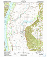 1991 Valmeyer1991 Print · USGSThe Mississippi River bottomlands and bluffs of Monroe County are shown here in the early 1990s. Genealogists can trace local roots at Eagle Cliff Cem, the small town of Harrisonville, and Bethesda Ch.
 - 1991 Map of Oakville
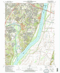 1991 Oakville1991 Print · USGSThe confluence of the Mississippi and Meramec Rivers serves as the backdrop for south St. Louis County in the early nineties. Researchers can trace the grounds of the Jefferson Barracks National Cemetery, the Nazareth Convent, and family-named landmarks like Byers and Wickes.2 unique versions available
 - 1993 Map of Herculaneum, 1995 Print
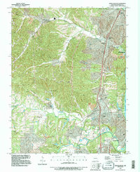 1993 Herculaneum1995 Print · USGSJefferson County river towns like Herculaneum and Pevely are captured during their late-century expansion along the Mississippi. Researchers can trace ancestral roots at Mahlers Cem or locate local landmarks like the Drag Strip and Mastodon State Park.
 - 1993 Map of Oakville, 1996 Print
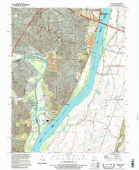 1993 Oakville1996 Print · USGSThe river bluffs of south St. Louis County met the sprawling Illinois floodplains in the mid-nineties, showing a mix of military legacy and suburban growth. Researchers can locate Jefferson Barracks National Cemetery, the limestone heights of Cliff Cave, and the riverside powerplant at Wickes.
 - 1993 Map of Valmeyer, 1996 Print
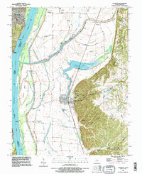 1993 Valmeyer1996 Print · USGSThe riverfront communities of Monroe County are captured in the early nineties, showing the historic layout of Valmeyer and Harrisonville. Local historians can trace the St Louis Southwestern RR and locate ancestral sites like St Johns Cem and Eagle Cliff Cem.
 - 1998 Map of Oakville, 1999 Print
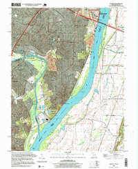 1998 Oakville1999 Print · USGSThe St. Louis suburbs and the Mississippi River bluffs are captured in the late nineties, showcasing the expansion of Oakville and Arnold. Genealogists can locate family sites at St Pauls Cem or trace the vast Jefferson Barracks National Cemetery.
 - 2012 Map of Maxville, 2012 Print
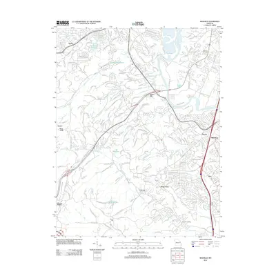 2012 Maxville2012 Print · USGSJefferson County residential growth meets the winding Meramec River in the early twenty-first century. Genealogists and historians can trace local family lineages at McCormack Cemetery or locate landmarks like Frisco Hill and Seckman.
 - 2012 Map of Oakville, 2012 Print
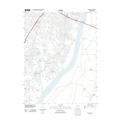 2012 Oakville2012 Print · USGSThe confluence of the Meramec and Mississippi rivers south of Saint Louis is captured here in the early twenty-first century. Genealogists and researchers can trace the grounds of Jefferson Barracks National Cemetery or locate family sites near Saint Pauls Cemetery and Cliff Cave.
 - 2012 Map of Herculaneum, 2012 Print
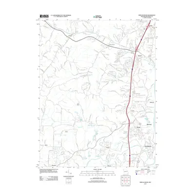 2012 Herculaneum2012 Print · USGSJefferson County’s riverfront and inland valleys are captured here a decade into the new millennium. Researchers can locate family landmarks like Mahlers Cemetery, the Imperial Post Office, and the historic transit route of Old Highway M.
 - 2012 Map of Valmeyer, 2012 Print
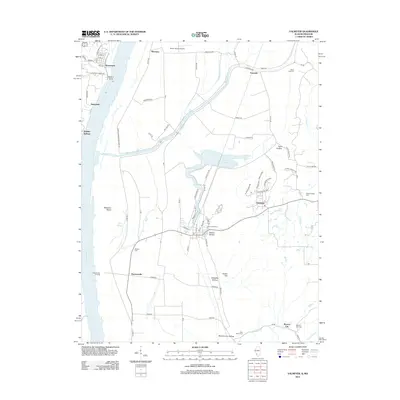 2012 Valmeyer2012 Print · USGSThe Illinois-Missouri borderlands along the Mississippi River are shown here in the early twenty-first century, just as local infrastructure and rural hamlets were evolving. Researchers can trace family history through Saint Johns Cem and explore the riverfront at Harrisonville Landing or Waters Point.
 - 2015 Map of Maxville, 2015 Print
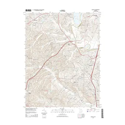 2015 Maxville2015 Print · USGSJefferson County residential growth and historical transit routes come together in this mid-2010s survey of the Arnold area. Family researchers can locate McCormack Cemetery and Saint Johns Cemetery or trace old corridors like Old Lemay Ferry Rd.
 - 2015 Map of Herculaneum, 2015 Print
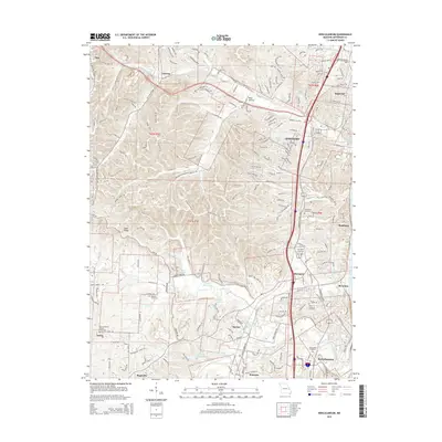 2015 Herculaneum2015 Print · USGSJefferson County's riverfront and rolling interior are captured in this mid-2010s study as the communities of the Interstate 55 corridor continued to expand. Researchers can locate numerous family and parish sites, from Assumption Cemetery in Herculaneum to the Mahlers Cemetery near Pevely.
Showing maps 1-25 of 37
Top cities near Windsor Township
- Chesterfield historical maps
- Oakville historical maps
- Wildwood historical maps
- Ballwin historical maps
- Kirkwood historical maps
- Mehlville historical maps
See more
Top neighborhoods of Windsor Township
- Sunnyside historical maps
- Byers historical maps
- Sulphur Springs historical maps
- Imperial historical maps
- Kimmswick historical maps
- Paulina Hills historical maps
Frequently asked questions
- What are the different types of historical maps available for Windsor Township?
- What is the oldest map of Windsor Township?
- Where can I purchase historical maps of Windsor Township for my home or office?
- Where can I download high-res historical maps of Windsor Township?
- Are there historical topographic maps available for Windsor Township?
- Is there historical aerial imagery available for Windsor Township?
- Where are historical maps of Windsor Township sourced from?