2000s (21st Century) Maps of Canton, Missouri
Explore 8 historic maps of Canton from the 2000s (21st Century). These maps offer a rare glimpse into what life looked like during the 2000s — showing old roads, neighborhoods, homes, and landmarks that have changed or disappeared over time.
Whether you're researching your family's past, planning a metal detecting trip, or studying how Canton's landscape evolved across the 2000s, these high-resolution maps are a powerful tool for exploring the history of this region.
- Focus on a specific era: All maps on this page are from the 2000s, giving you a focused view of this time period.
- See what’s changed: Compare century-old streets, trails, and buildings to today's modern landscape using overlays and satellite layers.
- Research with precision: Use these maps for genealogy, historical research, land use analysis, or educational projects.
- View, download, or print: Maps are fully viewable online in high resolution, and can be downloaded or printed for your own records.
Start exploring Canton's history through authentic maps from the 2000s. This is your window into the past.
Canton, MO maps
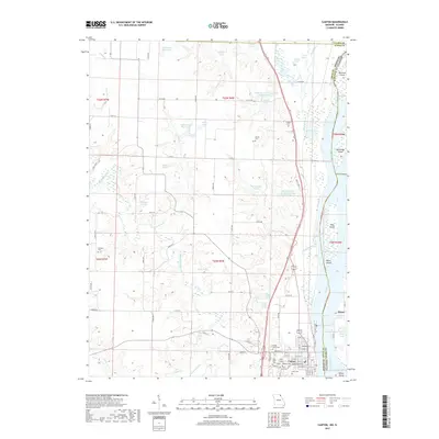
(8)- 2012 Map of La Grange, 2012 Print
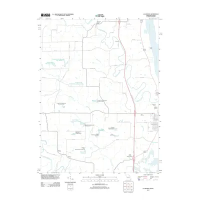 2012 La Grange2012 Print · USGSCovers Canton, including La Grange, Weber, and other nearby areas
 - 2012 Map of Canton, 2012 Print
 2012 Canton2012 Print · USGSCovers Canton, including Meyer, Laura, and other nearby areas
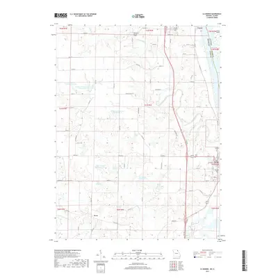
 - 2015 Map of La Grange, 2015 Print
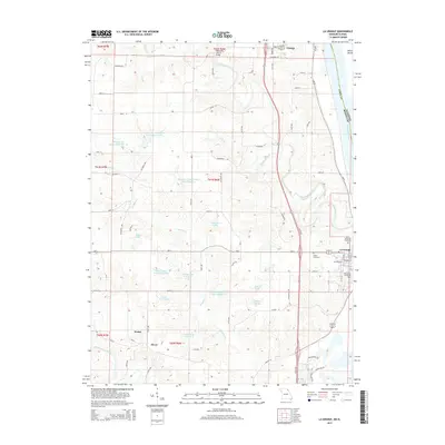 2015 La Grange2015 Print · USGSCovers Canton, including La Grange, Weber, and other nearby areas
 - 2015 Map of Canton, 2015 Print
 2015 Canton2015 Print · USGSCovers Canton, including Meyer, Laura, and other nearby areas
 - 2017 Map of Canton, 2017 Print
 2017 Canton2017 Print · USGSCovers Canton, including Meyer, Laura, and other nearby areas
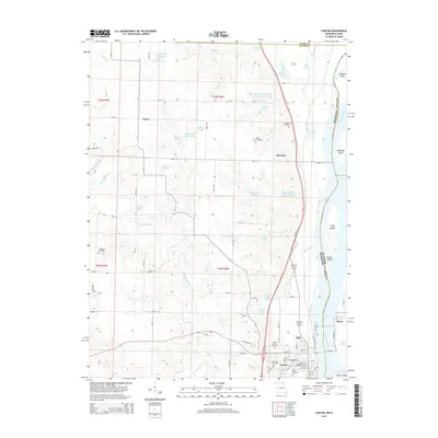
 - 2017 Map of La Grange, 2017 Print
 2017 La Grange2017 Print · USGSCovers Canton, including La Grange, Weber, and other nearby areas
 - 2021 Map of Canton, 2021 Print
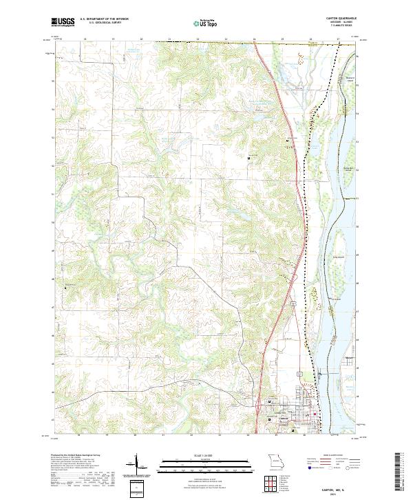 2021 Canton2021 Print · USGSThe riverfront town of Canton and its Illinois neighbor Meyer are shown here as they appeared in the early 2020s. Researchers can locate longstanding landmarks like Culver Stockton College and family burial sites at Gregory Cem or Hardin Cem.
 - 2021 Map of La Grange, 2021 Print
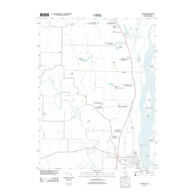
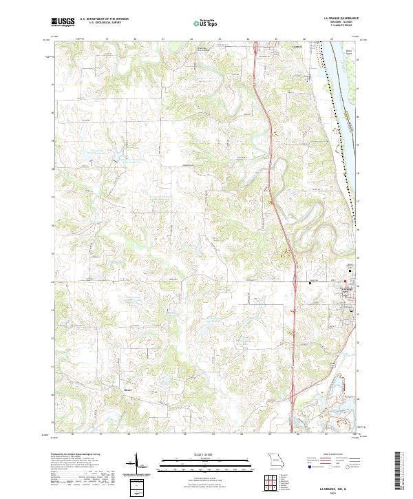 2021 La Grange2021 Print · USGSThe Mississippi River and BNSF Railway corridor shape these riverfront communities in the early twenty-first century. Researchers can trace family history through sites like Riverview Cem, the rural Dover settlement, and the landmark Wyaconda Church Bridge.
End of results
Showing maps 1-8 of 8
Top cities near Canton
- Quincy historical maps
- Warsaw historical maps
- La Grange historical maps
- Mendon historical maps
- Ursa historical maps
- Ewing historical maps
See more
Top neighborhoods of Canton
Frequently asked questions
- What are the different types of historical maps available for Canton?
- What is the oldest map of Canton?
- Where can I purchase historical maps of Canton for my home or office?
- Where can I download high-res historical maps of Canton?
- Are there historical topographic maps available for Canton?
- Is there historical aerial imagery available for Canton?
- Where are historical maps of Canton sourced from?