Old Maps of Durham, Missouri for Hiking & Exploration
Hike through history with 10 historic maps of Durham. Explore old trails, ghost towns, and forgotten backroads — perfect for outdoor adventurers and local explorers.
- Rediscover forgotten places: Map out old mining camps, roads, and footpaths that no longer exist on modern maps.
- Layer with modern tools: Combine with LiDAR or satellite views to plan hikes through historical terrain.
- Made for exploration: Popular among hikers, overlanders, and local history lovers.
Use these maps to find adventure and explore the hidden past of Durham.
Durham, MO maps
(10)- 1903 Map of Palmyra
 1903 Palmyra1903 Print · USGSNortheast Missouri at the start of the twentieth century was a landscape of river-valley farming and critical rail junctions. Researchers can trace early rural life through features like Sharp Mills, St. Pauls Ch., and the crossing of the Hannibal and St. Joseph R. R.2 unique versions available
 - 1948 Map of Quincy
 1948 Quincy1948 Print · USGSThe Mississippi and Illinois River valleys are captured at a post-war crossroads as rail and river travel met the expanding highway system. Genealogists can trace family settlements from Quincy to Hannibal and smaller towns like Vandalia and Jerseyville.2 unique versions available
 - 1949 Map of Durham, 1956 Print
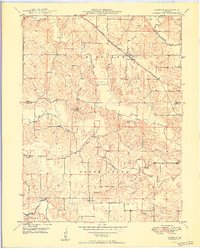
 1949 Durham1956 Print · USGSMarion and Lewis counties are captured here just after the war, showing the rural rail-and-river network of northern Missouri. Researchers can trace family sites near Emerson, find the Mount Sinai Ch, and locate family plots like Wagner Cem.2 unique versions available
 - 1950 Map of Durham
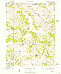
 1950 Durham1950 Print · USGSMarion and Lewis County at the close of the 1940s show a landscape of rural townships and winding river bottoms. Genealogists can locate family landmarks like Wagner Cem and McPike Cem or trace the old Chicago Burlington and Quincy rail line.2 unique versions available
 - 1956 Map of Quincy, 1967 Print
 1956 Quincy1967 Print · USGSThe river and rail corridors of the Illinois-Missouri border are documented here during the mid-1950s. Researchers can trace historic river landings and regional transit hubs from Quincy and Hannibal to smaller settlements like Meredosia and Roodhouse.3 unique versions available
 - 1986 Map of Quincy
 1986 Quincy1986 Print · USGSThe tri-state border region along the Mississippi River comes into focus during the mid-1980s. Researchers can trace the legacy of river towns and rail hubs like Quincy and Monroe City or locate landmarks such as Mount Olive Cem.2 unique versions available
 - 2012 Map of Durham, 2012 Print
 2012 Durham2012 Print · USGSCovers Durham, including Benbow, Emerson, and other nearby areas
 - 2014 Map of Durham, 2014 Print
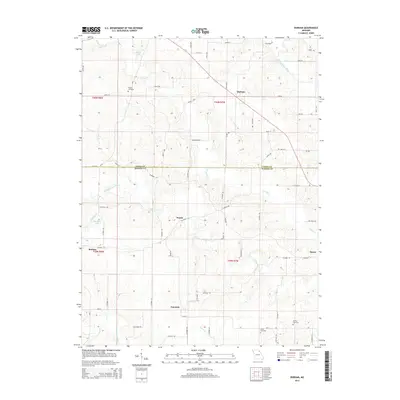 2014 Durham2014 Print · USGSCovers Durham, including Benbow, Emerson, and other nearby areas
 - 2017 Map of Durham, 2017 Print
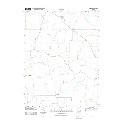
 2017 Durham2017 Print · USGSCovers Durham, including Benbow, Emerson, and other nearby areas
 - 2021 Map of Durham, 2021 Print
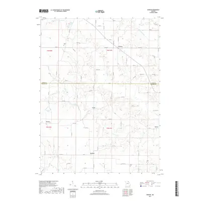
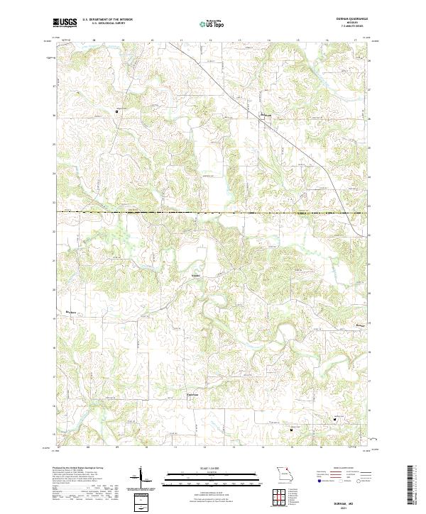 2021 Durham2021 Print · USGSThe Lewis and Marion county line divides this Missouri agricultural landscape in the early twenty-first century. Researchers can trace rural lineages through the locations of Wagner Cem, McPike Cem, and the crossroads settlements of Durham and Emerson.
End of results
Showing maps 1-10 of 10
Top cities near Durham
- Palmyra historical maps
- Canton historical maps
- La Grange historical maps
- Lewistown historical maps
- Ewing historical maps
- Monticello historical maps
Frequently asked questions
- What are the different types of historical maps available for Durham?
- What is the oldest map of Durham?
- Where can I purchase historical maps of Durham for my home or office?
- Where can I download high-res historical maps of Durham?
- Are there historical topographic maps available for Durham?
- Is there historical aerial imagery available for Durham?
- Where are historical maps of Durham sourced from?