Old Maps of Bucklin, Missouri for Genealogy
Trace your family roots with 16 historic maps of Bucklin. These high-res maps reveal old neighborhoods, homesites, landmarks, and streets — helping you uncover where your ancestors lived and how the area evolved over time.
- Explore historic neighborhoods: Identify where your relatives may have lived in the 1800s or 1900s.
- Compare maps over time: Trace the changes in streets, buildings, and landmarks for multi-generational research.
- Perfect for genealogy & ancestry research: Used by family historians and researchers to map out lineage and migration.
These maps are an incredible resource for exploring your personal connection to Bucklin's past.
Bucklin, MO maps
(16)- 1949 Map of Bucklin, 1956 Print
 1949 Bucklin1956 Print · USGSThe rail-and-river geography of Linn County is preserved here just after the war, showing the vital junction of the Burlington and Santa Fe lines. Researchers can trace rural life through numerous country schools and churches like Carter Sch, Cash Cem, and Wyandotte Ch.
 - 1950 Map of Bucklin
 1950 Bucklin1950 Print · USGSBucklin and St. Catherine appear at a mid-century crossroads where two major railroads intersected among the hills of Linn County. Researchers can trace the locations of several rural schoolhouses like Warren Sch and historic local landmarks including Switzer Chapel and the Mine Dump.3 unique versions available
 - 1950 Map of New Cambria West
 1950 New Cambria West1950 Print · USGSNorthwestern Macon County was a landscape of small schools and dual rail lines at mid-century. Genealogists can trace family footprints across several rural burial grounds and school districts, including St Mary Cem, Jobson Sch, and the community of Lingo.2 unique versions available
 - 1953 Map of Moberly
 1953 Moberly1953 Print · USGSMid-century north-central Missouri is documented here as a bustling intersection of river commerce and heavy rail. Researchers can trace historic family-named landmarks and transport hubs from the Missouri River corridor to the rail yards of Moberly, Chillicothe, and Macon.
 - 1954 Map of Moberly, 1969 Print
 1954 Moberly1969 Print · USGSMid-century Missouri is captured here during a period of transition for its river towns and rail hubs. Genealogists and historians can trace the paths of the Wabash railroad through Moberly or explore the riverside layout of Lexington and Brunswick.3 unique versions available
 - 1957 Map of Moberly
 1957 Moberly1957 Print · USGSNorth-central Missouri in the late nineteen-forties and fifties remains a landscape defined by its great rivers and a dense network of steam and diesel rail lines. Genealogists and historians can trace the paths of the Wabash RR and Santa Fe RR through historic junctions like Moberly, Brookfield, and Macon.
 - 1960 Map of Moberly
 1960 Moberly1960 Print · USGSCentral Missouri comes alive in the mid-twentieth century as a bustling network of river towns and significant rail corridors. Genealogists and historians can trace the paths of the Wabash RR through Moberly or explore the riverfronts of Lexington and Brunswick.
 - 1981 Map of Macon
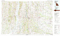 1981 Macon1981 Print · USGSNorthern Missouri's rail-and-river landscape is captured here in the early eighties, centered on the crossroads of Macon. Researchers can trace old cemetery sites like St Marys Cem, local landmarks such as College Mound, and the routes of the Burlington Northern railroad.
 - 2012 Map of Bucklin, 2012 Print
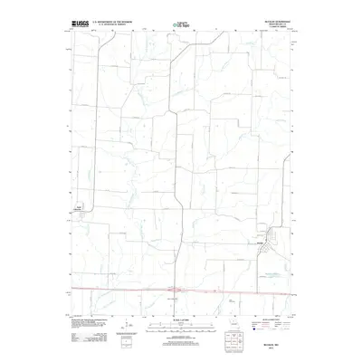 2012 Bucklin2012 Print · USGSLinn County agriculture and rural life are well-preserved in this modern survey of the early twenty-first century. Genealogists and local historians can trace family roots near Cash Cemetery or follow the paths of East Yellow Creek and the streets of Bucklin.
 - 2012 Map of New Cambria West, 2012 Print
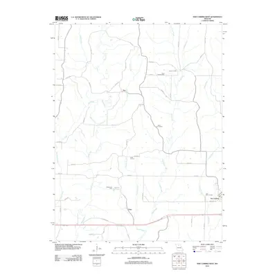 2012 New Cambria West2012 Print · USGSMissouri's rural Linn County landscape is captured here in the early twenty-first century as agricultural life centered around small hubs. Researchers can trace family sites at Saint Mary Cemetery, Tuttle Cemetery, or the older settlements of Lingo and Hart.
 - 2014 Map of Bucklin, 2014 Print
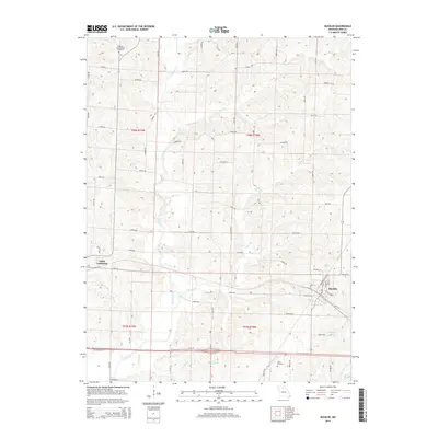 2014 Bucklin2014 Print · USGSBucklin and Saint Catharine are captured during the mid-2010s in this detailed look at north-central Missouri's rural landscape. Researchers can trace family history through sites like the Pleasant View Baptist Cemetery or follow the drainage of E Yellow Cr and Long Br.
 - 2014 Map of New Cambria West, 2014 Print
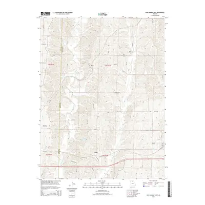 2014 New Cambria West2014 Print · USGSThe rural border of Linn and Macon counties is shown in great detail during the early 2010s. Genealogists and historians can locate family burial sites at Saint Mary Cemetery and Dowell Cemetery or trace the winding course of Mussel Fork.
 - 2017 Map of Bucklin, 2017 Print
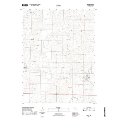 2017 Bucklin2017 Print · USGSLinn County agriculture and rural life are preserved in this recent survey of the Missouri plains. Genealogists and local historians can trace the town layouts of Bucklin and Saint Catharine or locate family plots at Pleasant View Baptist Cem and Cash Cem.
 - 2017 Map of New Cambria West, 2017 Print
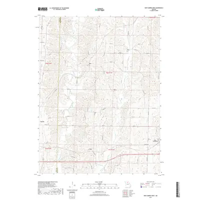 2017 New Cambria West2017 Print · USGSLinn and Macon Counties are captured here in the late twenty-teens, showing a landscape of established rural settlements and winding creek bottoms. Researchers can locate family heritage sites like Saint Mary Cem and trace the paths of Mussel Fork through Lingo and Bucklin.
 - 2021 Map of Bucklin, 2021 Print
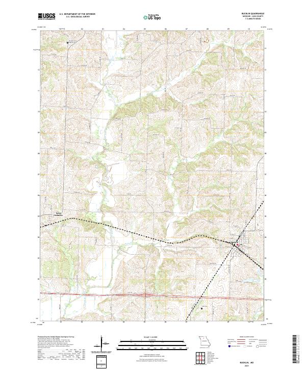 2021 Bucklin2021 Print · USGSLinn County, Missouri, is captured here in the early twenty-first century, showing the established rural layouts of Bucklin and Saint Catharine. Local historians can trace family locations near Pleasant View Baptist Cem and Cash Cem or follow the waters of E Yellow Cr.
 - 2021 Map of New Cambria West, 2021 Print
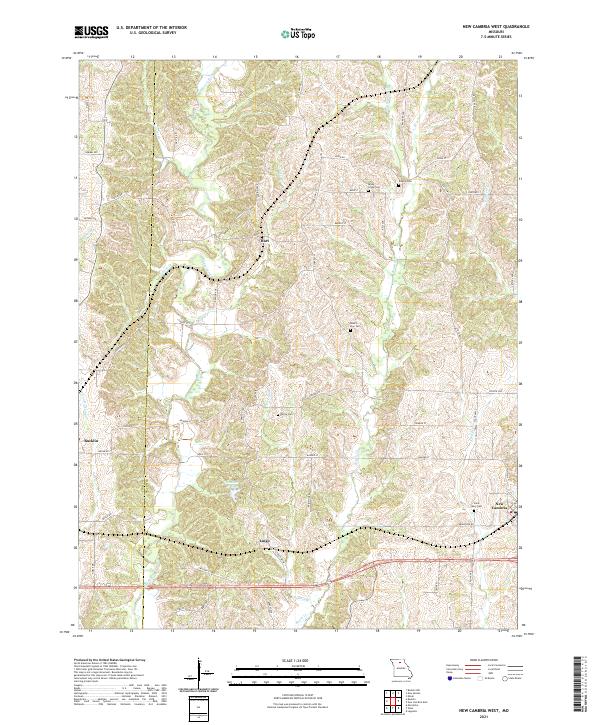 2021 New Cambria West2021 Print · USGSThe rural borderlands of Linn and Macon counties are captured here in the early twenty-first century, centered on the Mussel Fork drainage. Researchers can locate several historical cemeteries like Dowell Cem and trace the small communities of Hart and Lingo.
End of results
Showing maps 1-16 of 16
Top cities near Bucklin
- Brookfield historical maps
- Marceline historical maps
- New Cambria historical maps
- Ethel historical maps
- Rothville historical maps
Frequently asked questions
- What are the different types of historical maps available for Bucklin?
- What is the oldest map of Bucklin?
- Where can I purchase historical maps of Bucklin for my home or office?
- Where can I download high-res historical maps of Bucklin?
- Are there historical topographic maps available for Bucklin?
- Is there historical aerial imagery available for Bucklin?
- Where are historical maps of Bucklin sourced from?