2000s (21st Century) Maps of Castor Station, Missouri
Explore 5 historic maps of Castor Station from the 2000s (21st Century). These maps offer a rare glimpse into what life looked like during the 2000s — showing old roads, neighborhoods, homes, and landmarks that have changed or disappeared over time.
Whether you're researching your family's past, planning a metal detecting trip, or studying how Castor Station's landscape evolved across the 2000s, these high-resolution maps are a powerful tool for exploring the history of this region.
- Focus on a specific era: All maps on this page are from the 2000s, giving you a focused view of this time period.
- See what’s changed: Compare century-old streets, trails, and buildings to today's modern landscape using overlays and satellite layers.
- Research with precision: Use these maps for genealogy, historical research, land use analysis, or educational projects.
- View, download, or print: Maps are fully viewable online in high resolution, and can be downloaded or printed for your own records.
Start exploring Castor Station's history through authentic maps from the 2000s. This is your window into the past.
Castor Station, MO maps
(5)- 2000 Map of Higdon, 2003 Print
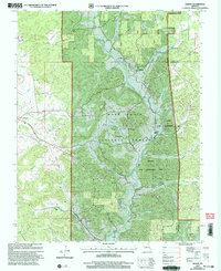 2000 Higdon2003 Print · USGSMadison County at the turn of the millennium retains its deep-rooted rural character among the river valleys and national forest. Researchers can trace family history through several remote burial grounds and churches like Peterman Cem, Underwood Cem, and Cornwall Ch.
 - 2011 Map of Higdon, 2011 Print
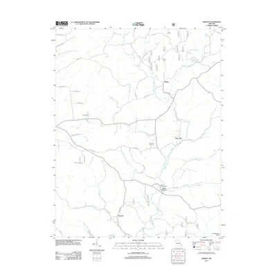 2011 Higdon2011 Print · USGSCovers Castor Station, including Cornwall, Higdon, and other nearby areas
 - 2015 Map of Higdon, 2015 Print
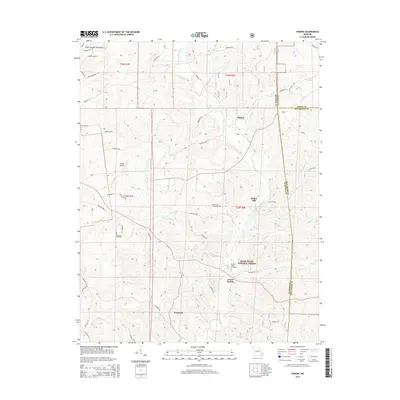 2015 Higdon2015 Print · USGSCovers Castor Station, including Cornwall, Higdon, and other nearby areas
 - 2017 Map of Higdon, 2017 Print
 2017 Higdon2017 Print · USGSCovers Castor Station, including Cornwall, Higdon, and other nearby areas
 - 2021 Map of Higdon, 2021 Print
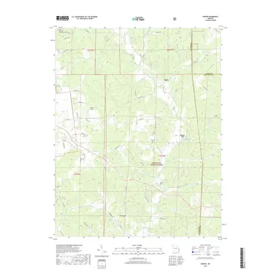
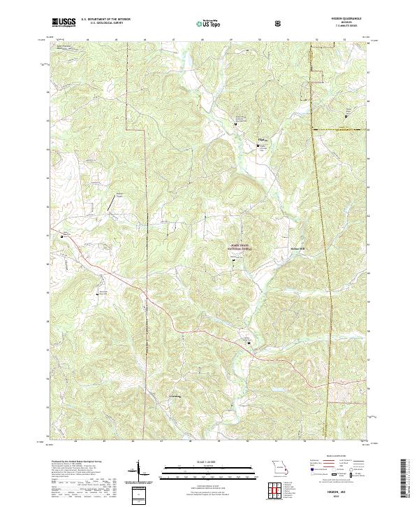 2021 Higdon2021 Print · USGSMadison County's eastern uplands are shown in detail here during the early twenty-first century, revealing a landscape of forested ridges and river valleys. Genealogists can trace family names at the Underwood Cem, Timber Ridge Cem, and the old settlement of Higdon.
End of results
Showing maps 1-5 of 5
Top cities near Castor Station
- Farmington historical maps
- Fredericktown historical maps
- Marble Hill historical maps
- Junction City historical maps
- Marquand historical maps
Frequently asked questions
- What are the different types of historical maps available for Castor Station?
- What is the oldest map of Castor Station?
- Where can I purchase historical maps of Castor Station for my home or office?
- Where can I download high-res historical maps of Castor Station?
- Are there historical topographic maps available for Castor Station?
- Is there historical aerial imagery available for Castor Station?
- Where are historical maps of Castor Station sourced from?