2000s (21st Century) Maps of Lance, Missouri
Explore 5 historic maps of Lance from the 2000s (21st Century). These maps offer a rare glimpse into what life looked like during the 2000s — showing old roads, neighborhoods, homes, and landmarks that have changed or disappeared over time.
Whether you're researching your family's past, planning a metal detecting trip, or studying how Lance's landscape evolved across the 2000s, these high-resolution maps are a powerful tool for exploring the history of this region.
- Focus on a specific era: All maps on this page are from the 2000s, giving you a focused view of this time period.
- See what’s changed: Compare century-old streets, trails, and buildings to today's modern landscape using overlays and satellite layers.
- Research with precision: Use these maps for genealogy, historical research, land use analysis, or educational projects.
- View, download, or print: Maps are fully viewable online in high resolution, and can be downloaded or printed for your own records.
Start exploring Lance's history through authentic maps from the 2000s. This is your window into the past.
Lance, MO maps
(5)- 2000 Map of Rhodes Mountain, 2003 Print
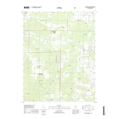
 2000 Rhodes Mountain2003 Print · USGSMadison County at the turn of the millennium remains a landscape of deep river shut-ins and historic mining sites. Researchers can trace local lineage at Ashlock Cem or locate old operations like the Apex Mine and Silver Mine along the St Francis River.
 - 2011 Map of Rhodes Mountain, 2011 Print
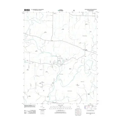 2011 Rhodes Mountain2011 Print · USGSCovers Lance, including Creek Nation, Oak Grove, and other nearby areas
 - 2015 Map of Rhodes Mountain, 2015 Print
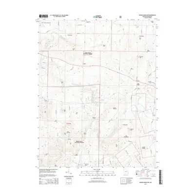 2015 Rhodes Mountain2015 Print · USGSCovers Lance, including Creek Nation, Oak Grove, and other nearby areas
 - 2017 Map of Rhodes Mountain, 2017 Print
 2017 Rhodes Mountain2017 Print · USGSCovers Lance, including Creek Nation, Oak Grove, and other nearby areas
 - 2021 Map of Rhodes Mountain, 2021 Print
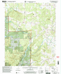
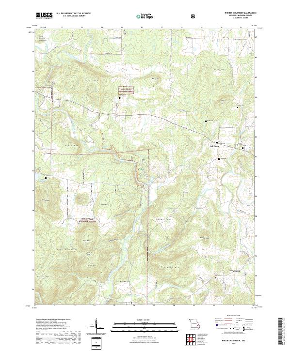 2021 Rhodes Mountain2021 Print · USGSThe Saint Francois Mountains of Madison County are shown here in the 2020s, dominated by the winding river forks and the dense forest of the Ozarks. Researchers can trace family history through sites like Creek Nation, Oak Grove Cem, and the Silver Mines Dam.
End of results
Showing maps 1-5 of 5
Top cities near Lance
- Farmington historical maps
- Park Hills historical maps
- Fredericktown historical maps
- Bismarck historical maps
- Ironton historical maps
- Doe Run historical maps
See more
Frequently asked questions
- What are the different types of historical maps available for Lance?
- What is the oldest map of Lance?
- Where can I purchase historical maps of Lance for my home or office?
- Where can I download high-res historical maps of Lance?
- Are there historical topographic maps available for Lance?
- Is there historical aerial imagery available for Lance?
- Where are historical maps of Lance sourced from?