2000s (21st Century) Maps of Wide Ford, Missouri
Explore 5 historic maps of Wide Ford from the 2000s (21st Century). These maps offer a rare glimpse into what life looked like during the 2000s — showing old roads, neighborhoods, homes, and landmarks that have changed or disappeared over time.
Whether you're researching your family's past, planning a metal detecting trip, or studying how Wide Ford's landscape evolved across the 2000s, these high-resolution maps are a powerful tool for exploring the history of this region.
- Focus on a specific era: All maps on this page are from the 2000s, giving you a focused view of this time period.
- See what’s changed: Compare century-old streets, trails, and buildings to today's modern landscape using overlays and satellite layers.
- Research with precision: Use these maps for genealogy, historical research, land use analysis, or educational projects.
- View, download, or print: Maps are fully viewable online in high resolution, and can be downloaded or printed for your own records.
Start exploring Wide Ford's history through authentic maps from the 2000s. This is your window into the past.
Wide Ford, MO maps
(5)- 2000 Map of Rock Pile Mountain, 2003 Print
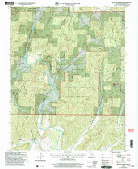 2000 Rock Pile Mountain2003 Print · USGSThe St. Francis River valley in Madison County appears here at the turn of the millennium, centered on the protected backcountry of the Ozarks. Genealogists can locate family landmarks like Jewett, Mt Pisgah Ch, and numerous burial sites including Francis Cem and Jowett Cem.
 - 2011 Map of Rock Pile Mountain, 2011 Print
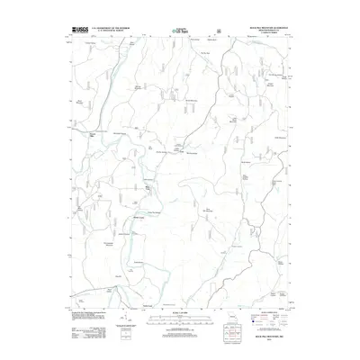 2011 Rock Pile Mountain2011 Print · USGSCovers Wide Ford, including Marsh Creek, French Mills, and other nearby areas
 - 2015 Map of Rock Pile Mountain, 2015 Print
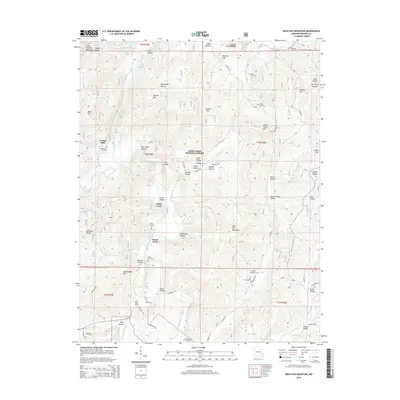 2015 Rock Pile Mountain2015 Print · USGSCovers Wide Ford, including Marsh Creek, French Mills, and other nearby areas
 - 2017 Map of Rock Pile Mountain, 2017 Print
 2017 Rock Pile Mountain2017 Print · USGSCovers Wide Ford, including Marsh Creek, French Mills, and other nearby areas
 - 2021 Map of Rock Pile Mountain, 2021 Print
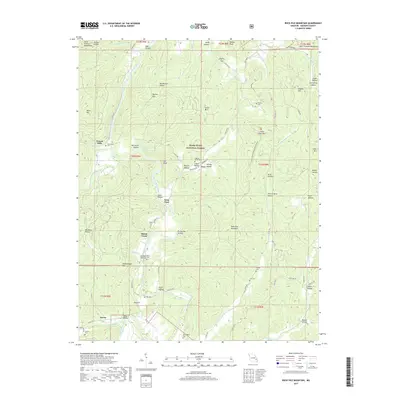
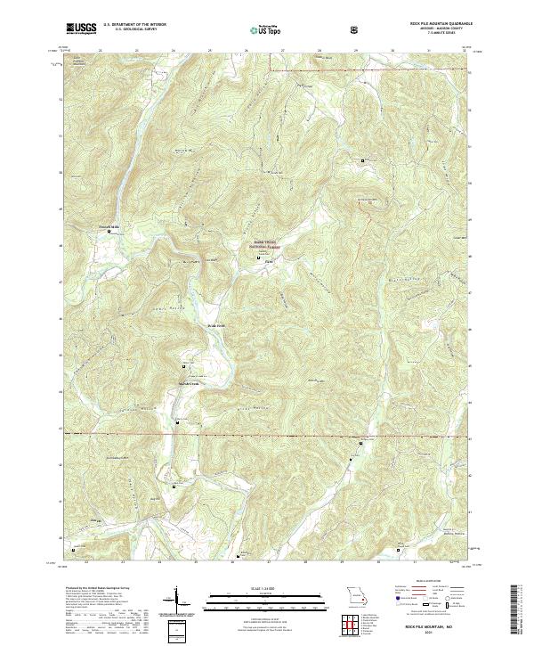 2021 Rock Pile Mountain2021 Print · USGSMadison County, Missouri, is shown here as it appears in the modern era, preserving the traditional names of its mountain hollows and river crossings. Genealogists can locate several remote burial sites like Captains Creek Cem and old settlements such as French Mills.
End of results
Showing maps 1-5 of 5
Top cities near Wide Ford
- Fredericktown historical maps
- Ironton historical maps
- Pilot Knob historical maps
- Arcadia historical maps
- Junction City historical maps
- Des Arc historical maps
Frequently asked questions
- What are the different types of historical maps available for Wide Ford?
- What is the oldest map of Wide Ford?
- Where can I purchase historical maps of Wide Ford for my home or office?
- Where can I download high-res historical maps of Wide Ford?
- Are there historical topographic maps available for Wide Ford?
- Is there historical aerial imagery available for Wide Ford?
- Where are historical maps of Wide Ford sourced from?