Old Maps of Bend, Missouri for Metal Detecting
Plan your next treasure hunt with 13 historic maps of Bend. Find old homesites, ghost towns, trails, and gathering spots that may be lost to time — perfect for identifying promising metal detecting locations.
- Locate forgotten sites: Uncover places like long-lost settlements, abandoned rail lines, or gathering spots.
- Plan better hunts: Use map overlays combined with LiDAR or satellite views to narrow in on historically rich areas.
- Made for detectorists: Thousands of hobbyists use these maps to discover relics, coins, and hidden history.
Use these historic maps to boost your research and find new opportunities beneath the surface of Bend.
Bend, MO maps
(13)- 1937 Map of Vienna, 1964 Print
 1937 Vienna1964 Print · USGSMaries County in the late 1930s is documented here through its reliance on the river and its network of one-room schools. Genealogists can trace family names at Gaines Ferry, the Terrill Clay Pit, and country churches like Wynn Ch.2 unique versions available
 - 1938 Map of Vienna
 1938 Vienna1938 Print · USGSMaries County in the late 1930s is a landscape of deep river bends and high ridges where the Gasconade River dictates the pace of life. Family historians can trace local roots through numerous country schools and river crossings like McMinn Sch, Gaines Ferry, and Paydown Ford.
 - 1949 Map of Saint Louis
 1949 Saint Louis1949 Print · USGSGreater St. Louis and its surrounding river valleys are captured here just after the war, showing the metropolitan core and the rural Ozark fringe. Researchers can trace the sprawling rail network of the Wabash RR or locate landmarks like Meramec Caverns Airport and Scott Air Force Base.2 unique versions available
 - 1949 Map of Vienna
 1949 Vienna1949 Print · USGSMaries County life in the late 1940s centers on the winding GASCONADE RIVER and the county seat of VIENNA. You can trace rural schoolhouse locations like Bell Sch and Terry Sch or find family landmarks such as Walker Cem and Spencer Store.2 unique versions available
 - 1962 Map of St. Louis
 1962 St. Louis1962 Print · USGSThe mid-century gateway to the west shows the metropolitan expansion of St Louis alongside its critical river confluences. Genealogists and historians can trace the rail corridors of the Missouri Pacific RR and settlements from Fulton to De Soto.
 - 1963 Map of St. Louis, 1970 Print
 1963 St. Louis1970 Print · USGSSt. Louis and its surrounding river valleys are captured here during the peak of mid-century suburban expansion and industrial activity. Trace the historic rail routes of the Norfolk and Western Ry or locate the St Louis Ordnance Plant and early stretches of US Highway 66.4 unique versions available
 - 1966 Map of St. Louis
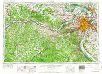 1966 St. Louis1966 Print · USGSThe St. Louis metropolitan area and its surrounding river valleys are captured here during the mid-sixties era of suburban growth and industrial strength. Genealogists and historians can trace the foundations of local communities through sites like Old Pioneer Cem, Parks College, and the Jefferson Barracks Military Reservation.
 - 1981 Map of Paydown
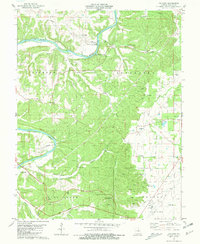 1981 Paydown1981 Print · USGSThe Gasconade River breaks through the Missouri hills in the early 1980s, revealing a landscape of remote settlements and riverside recreation. Genealogists and local historians can trace family roots at Snodgrass Cem, Union Hill Ch Cem, and the high-elevation Vichy Lookout Tower.2 unique versions available
 - 1985 Map of Sullivan
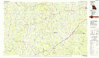 1985 Sullivan1985 Print · USGSMid-1980s Missouri comes into focus here as the Ozark landscape balances industrial mining with river recreation. Genealogists and historians can trace the St Louis-San Francisco RR through Sullivan and locate landmarks like Pea Ridge Mine or St Cloud Church.3 unique versions available
 - 2012 Map of Paydown, 2012 Print
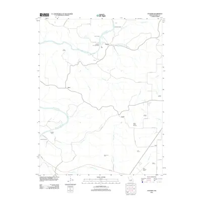 2012 Paydown2012 Print · USGSMaries County settlement and river culture are on display here in the early 2010s, centered on the winding Gasconade River. Researchers can trace family history at Green Cemetery and Bowles Cemetery or locate landmarks like the Vichy Lookout Tower.
 - 2015 Map of Paydown, 2015 Print
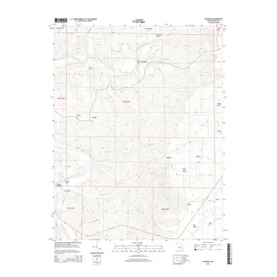 2015 Paydown2015 Print · USGSMaries County near the middle of the 2010s remains a landscape of deep river valleys and high ridge cemeteries. Family historians and researchers can locate several rural burial grounds like Green Cemetery and Ferrell Cemetery, or trace the historical Indian House Mounds.
 - 2017 Map of Paydown, 2017 Print
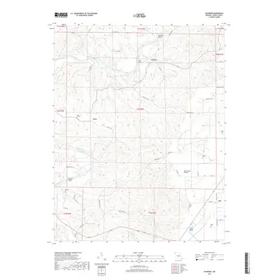 2017 Paydown2017 Print · USGSMaries County settlement patterns and river geography come into focus in this recent survey of the Gasconade valley. Genealogists can locate family burial sites like Bowles Cem and Walker Cem near communities such as Paydown and Bend.
 - 2021 Map of Paydown, 2021 Print
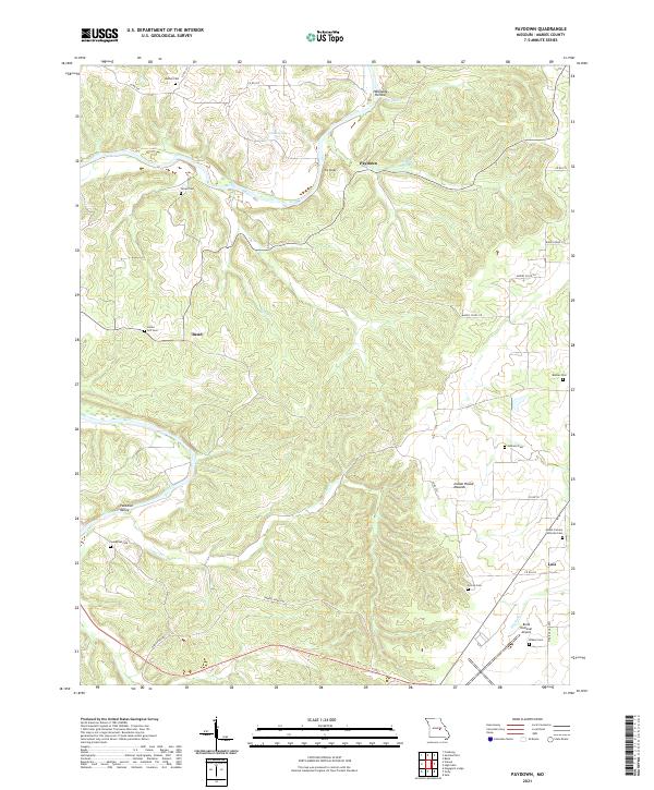 2021 Paydown2021 Print · USGSMaries County's winding creek valleys and high ridges are documented here during the early twenty-first century. Genealogists can locate several family burial grounds including Union Hill Cem and Johnson Cem, or explore the area around Lois and Paydown.
End of results
Showing maps 1-13 of 13
Top cities near Bend
Frequently asked questions
- What are the different types of historical maps available for Bend?
- What is the oldest map of Bend?
- Where can I purchase historical maps of Bend for my home or office?
- Where can I download high-res historical maps of Bend?
- Are there historical topographic maps available for Bend?
- Is there historical aerial imagery available for Bend?
- Where are historical maps of Bend sourced from?