Old Maps of Anderson, Missouri for Hiking & Exploration
Hike through history with 16 historic maps of Anderson. Explore old trails, ghost towns, and forgotten backroads — perfect for outdoor adventurers and local explorers.
- Rediscover forgotten places: Map out old mining camps, roads, and footpaths that no longer exist on modern maps.
- Layer with modern tools: Combine with LiDAR or satellite views to plan hikes through historical terrain.
- Made for exploration: Popular among hikers, overlanders, and local history lovers.
Use these maps to find adventure and explore the hidden past of Anderson.
Anderson, MO maps
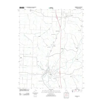
(16)- 1940 Map of Noel, 1955 Print
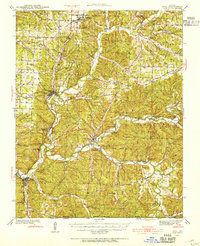 1940 Noel1955 Print · USGSSouthwest Missouri's river valleys and ridge-top communities are captured here just before the war, as the Kansas City Southern rail line connected the Ozark hills. Genealogists can trace family footprints through numerous local landmarks like Indian Springs Sch, Sugar Beach Cem, and the Riverside Inn.2 unique versions available
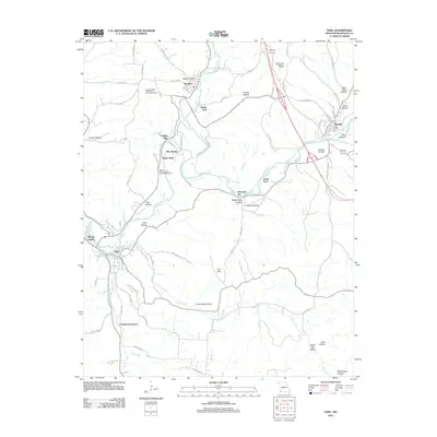
 - 1943 Map of Noel
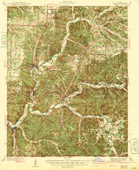 1943 Noel1943 Print · USGSThe Ozark river valleys of McDonald County are shown here in the early 1940s, just as the regional highway network was expanding. Genealogists can trace family names through dozens of rural landmarks like Bannock Cem, Christian Ch, and Moss Sch.2 unique versions available
 - 1954 Map of Tulsa
 1954 Tulsa1954 Print · USGSNortheast Oklahoma and the Ozark border are shown here during a period of massive industrial and infrastructure growth. Researchers can trace the legacy of the Tri-State Mining District and the development of major reservoirs like Grand Lake O' The Cherokees.2 unique versions available
 - 1958 Map of Tulsa, 1968 Print
 1958 Tulsa1968 Print · USGSNortheast Oklahoma and the Ozark borderlands are captured here during a massive era of reservoir construction and highway expansion. Researchers can trace the mid-century footprints of Tulsa, the sprawling Lake O' the Cherokees, and historical sites like Pea Ridge National Military Park.3 unique versions available
 - 1963 Map of Tulsa
 1963 Tulsa1963 Print · USGSThe Oklahoma and Arkansas borderlands are shown here in the early sixties, a time of massive reservoir construction and heavy mining. Genealogists can trace family roots through settlements like Nowata, Pryor, and Jay, or locate historical zinc and lead mines and coal mines.
 - 1982 Map of Noel
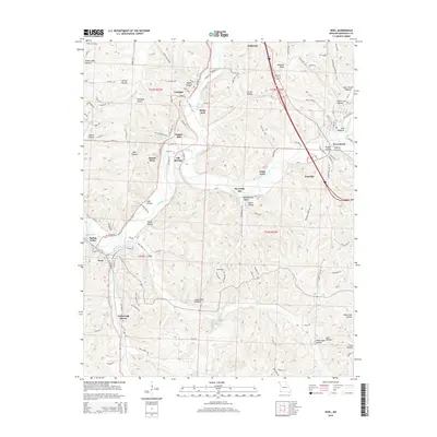
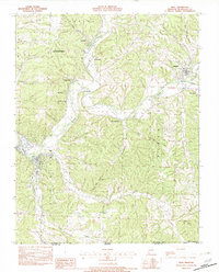 1982 Noel1982 Print · USGSThe Elk River valley and the southern reaches of McDonald County are shown in the early eighties as a network of river towns and hollows. Trace the paths between Noel, Pineville, and Elk Springs or locate rural landmarks like Deer Lick Spring and Bosky-Dell.
 - 1982 Map of Anderson
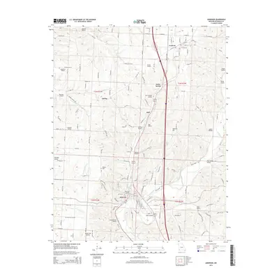
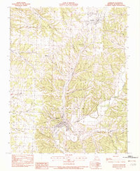 1982 Anderson1982 Print · USGSThe area surrounding Anderson and Goodman in the early 1980s reveals a terrain defined by deep hollows and creek junctions. Genealogists and historians can trace the geography of Splitlog, the path of Patterson Creek, and family-named landmarks like Tatum Hill.
 - 1986 Map of Neosho
 1986 Neosho1986 Print · USGSThe tri-state border region comes alive in the mid-eighties as a landscape of mining heritage and river valleys. Researchers can trace the rail lines of the Kansas City Southern Ry and locate rural landmarks like Gibson Cem and Peoria.2 unique versions available
 - 2012 Map of Anderson, 2012 Print
 2012 Anderson2012 Print · USGSCovers Anderson, including Goodman, Splitlog, and other nearby areas
 - 2012 Map of Noel, 2012 Print
 2012 Noel2012 Print · USGSCovers Anderson, including Noel, Pineville, and other nearby areas
 - 2015 Map of Anderson, 2015 Print
 2015 Anderson2015 Print · USGSCovers Anderson, including Goodman, Splitlog, and other nearby areas
 - 2015 Map of Noel, 2015 Print
 2015 Noel2015 Print · USGSCovers Anderson, including Noel, Pineville, and other nearby areas
 - 2017 Map of Noel, 2017 Print
 2017 Noel2017 Print · USGSCovers Anderson, including Noel, Pineville, and other nearby areas
 - 2017 Map of Anderson, 2017 Print
 2017 Anderson2017 Print · USGSCovers Anderson, including Goodman, Splitlog, and other nearby areas
 - 2021 Map of Noel, 2021 Print
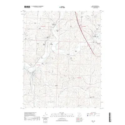
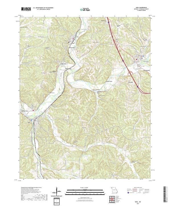 2021 Noel2021 Print · USGSMcDonald County in the early 2020s shows a landscape where small Ozark communities like Lanagan and Noel follow the winding Elk River. Researchers can trace local landmarks from the McDonald County Courthouse to rural sites like Lanagan Cem and Deer Lick Spring.
 - 2021 Map of Anderson, 2021 Print
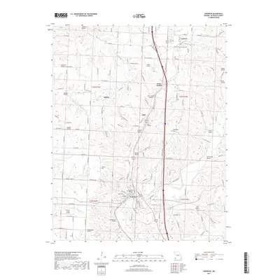
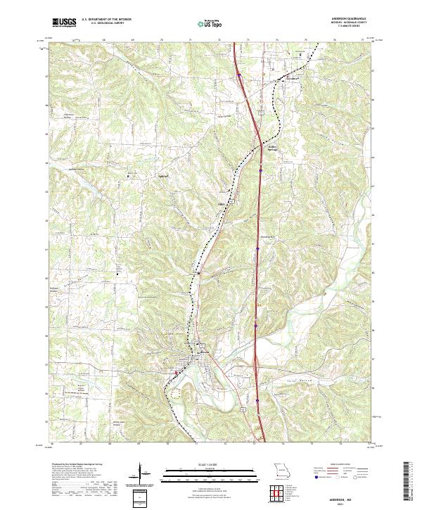 2021 Anderson2021 Print · USGSAnderson and the surrounding McDonald County hollows are shown in detail as they appeared in 2021. Genealogists and local researchers can trace family lands near Splitlog, locate the New Bethel Cem, or follow the winding course of Indian Creek.
End of results
Showing maps 1-16 of 16
Top cities near Anderson
- Bentonville historical maps
- Bella Vista historical maps
- Neosho historical maps
- Gravette historical maps
- Seneca historical maps
- Noel historical maps
See more
Frequently asked questions
- What are the different types of historical maps available for Anderson?
- What is the oldest map of Anderson?
- Where can I purchase historical maps of Anderson for my home or office?
- Where can I download high-res historical maps of Anderson?
- Are there historical topographic maps available for Anderson?
- Is there historical aerial imagery available for Anderson?
- Where are historical maps of Anderson sourced from?