Old Maps of Charleston, Missouri for Academic Research
Study the evolution of Charleston with 10 high-resolution historic maps. Whether you're teaching, researching, or modeling changes in land use, these maps provide essential visual documentation of urban, environmental, and geographic change.
- Analyze long-term change: Track patterns in development, transportation, and natural features.
- Ideal for environmental or urban studies: Support academic projects with primary historical map data.
- Use in the classroom or lab: Educators and researchers rely on these maps to bring historical context to life.
These maps are a powerful tool for teaching, research, and visualizing how Charleston has changed over the decades.
Charleston, MO maps
(10)- 1939 Map of Charleston, 1941 Print
 1939 Charleston1941 Print · USGSThe Missouri Bootheel near Charleston is shown here just as the modern levee and ditch systems were taking final shape. Researchers can trace the era's rural social fabric through numerous local landmarks like Pulltight Sch, Maynard Cem, and the St Louis Southwestern rail line.2 unique versions available
 - 1954 Map of Charleston
 1954 Charleston1954 Print · USGSSoutheastern Missouri's river country is captured here during the mid-1950s, showing the complex drainage systems of the Bootheel. Researchers can locate dozens of rural landmarks like Bridges Ch & Sch, Maynard Cem, and the Missouri Pacific line.2 unique versions available
 - 1956 Map of Dyersburg, 1960 Print
 1956 Dyersburg1960 Print · USGSThe Four Rivers region comes alive in the mid-fifties, capturing the intricate borderlands of Tennessee, Kentucky, and Missouri. Genealogists and historians can trace the rail-and-river networks connecting Dyersburg, Caruthersville, and the shoreline of Reelfoot Lake.4 unique versions available
 - 1969 Map of Charleston, 1971 Print
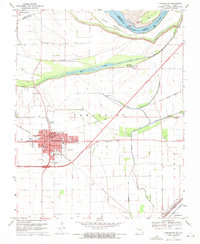 1969 Charleston1971 Print · USGSMississippi River bottomlands in the late sixties reveal a landscape defined by levee systems and rail-dependent towns. Genealogists can trace family names at the Texas Bend Cem or Lee Cem, and locate former neighborhood anchors like St Henrys Sch.2 unique versions available
 - 1985 Map of Sikeston, 1986 Print
 1985 Sikeston1986 Print · USGSThe Missouri Bootheel and the four-state river convergence are captured in the mid-eighties as the modern agricultural and rail networks matured. Researchers can locate regional landmarks like the Towosahgy State Historic Site, Oak Grove Cem, and towns along the St Louis Southwestern Railroad.2 unique versions available
 - 1993 Map of Charleston, 1996 Print
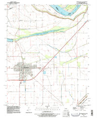 1993 Charleston1996 Print · USGSCharleston sits at the edge of the Mississippi floodplains in the 1990s, surrounded by a massive protective levee system. Researchers can trace family history at Texas Bend Cem and Lee Cem or locate the Indian Mound and Big Lake.
 - 2012 Map of Charleston, 2012 Print
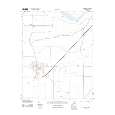 2012 Charleston2012 Print · USGSMissouri's Bootheel region is captured here in the early twenty-first century as the town of Charleston balances its civic grid with the surrounding river-bottom lands. Genealogists and local researchers can locate Texas Bend Cemetery, Lee Cemetery, and the riverfront terrain of Dog Tooth Bend.
 - 2015 Map of Charleston, 2015 Print
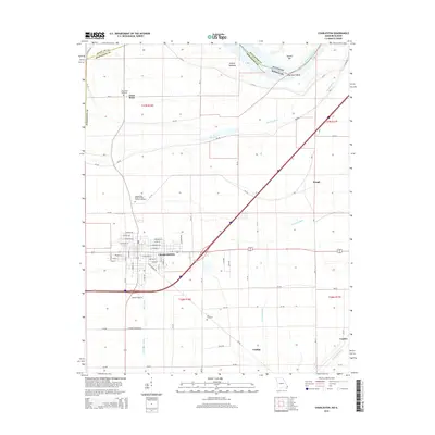 2015 Charleston2015 Print · USGSCharleston and the northern Bootheel are captured here during a period of modern agricultural stability and river management. Trace family history at the Independent Order of Odd Fellows Cemetery or locate early settlements like Texas Bend, Catalpa, and Hough.
 - 2017 Map of Charleston, 2017 Print
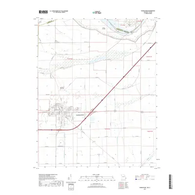 2017 Charleston2017 Print · USGSCharleston and the Mississippi River bottomlands are captured here in the late twenty-teens, showing the intricate balance of natural bayous and drainage canals. Researchers can locate family sites at the Independent Order of Odd Fellows Cem or trace the winding Big Lake Bayou.
 - 2021 Map of Charleston, 2021 Print
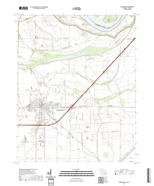 2021 Charleston2021 Print · USGSCharleston and the Mississippi River lowlands are captured here in the early twenty-first century as a landscape of structured towns and complex drainage. Researchers can locate the Mississippi County Courthouse and burial sites like the Independent Order of Odd Fellows Cem.
End of results
Showing maps 1-10 of 10
Top cities near Charleston
- Sikeston historical maps
- East Prairie historical maps
- Cairo historical maps
- Mounds historical maps
- Bertrand historical maps
- Matthews historical maps
See more
Frequently asked questions
- What are the different types of historical maps available for Charleston?
- What is the oldest map of Charleston?
- Where can I purchase historical maps of Charleston for my home or office?
- Where can I download high-res historical maps of Charleston?
- Are there historical topographic maps available for Charleston?
- Is there historical aerial imagery available for Charleston?
- Where are historical maps of Charleston sourced from?