2000s (21st Century) Maps of Matthews, Missouri
Explore 8 historic maps of Matthews from the 2000s (21st Century). These maps offer a rare glimpse into what life looked like during the 2000s — showing old roads, neighborhoods, homes, and landmarks that have changed or disappeared over time.
Whether you're researching your family's past, planning a metal detecting trip, or studying how Matthews's landscape evolved across the 2000s, these high-resolution maps are a powerful tool for exploring the history of this region.
- Focus on a specific era: All maps on this page are from the 2000s, giving you a focused view of this time period.
- See what’s changed: Compare century-old streets, trails, and buildings to today's modern landscape using overlays and satellite layers.
- Research with precision: Use these maps for genealogy, historical research, land use analysis, or educational projects.
- View, download, or print: Maps are fully viewable online in high resolution, and can be downloaded or printed for your own records.
Start exploring Matthews's history through authentic maps from the 2000s. This is your window into the past.
Matthews, MO maps
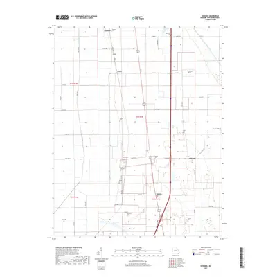
(8)- 2012 Map of Kewanee, 2012 Print
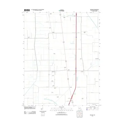 2012 Kewanee2012 Print · USGSCovers Matthews, including Kewanee, La Forge, and other nearby areas
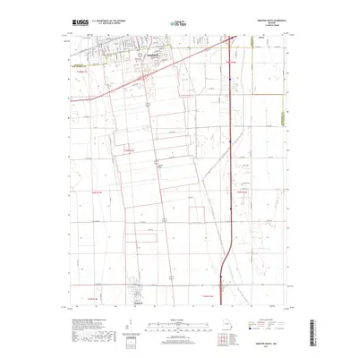
 - 2012 Map of Sikeston South, 2012 Print
 2012 Sikeston South2012 Print · USGSCovers Matthews, including Sikeston, Champion, and other nearby areas
 - 2015 Map of Kewanee, 2015 Print
 2015 Kewanee2015 Print · USGSCovers Matthews, including Kewanee, La Forge, and other nearby areas
 - 2015 Map of Sikeston South, 2015 Print
 2015 Sikeston South2015 Print · USGSCovers Matthews, including Sikeston, Champion, and other nearby areas
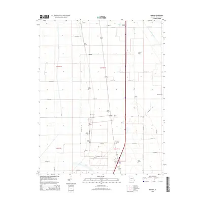
 - 2017 Map of Kewanee, 2017 Print
 2017 Kewanee2017 Print · USGSCovers Matthews, including Kewanee, La Forge, and other nearby areas
 - 2017 Map of Sikeston South, 2017 Print
 2017 Sikeston South2017 Print · USGSCovers Matthews, including Sikeston, Champion, and other nearby areas
 - 2021 Map of Sikeston South, 2021 Print
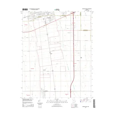
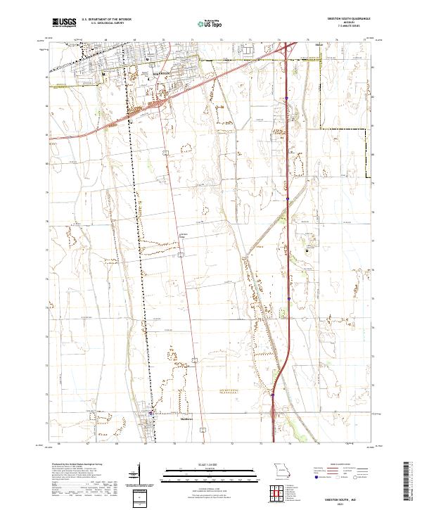 2021 Sikeston South2021 Print · USGSSikeston and the surrounding Bootheel plains are captured here in the early twenty-first century as the region continues its legacy of agriculture and transport. Researchers can trace local burial sites like Little Vine Cem or follow the path of Saint Johns Ditch through Matthews.
 - 2021 Map of Kewanee, 2021 Print
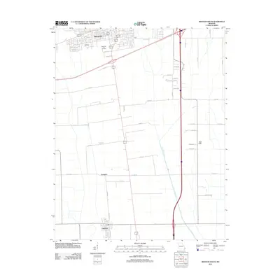
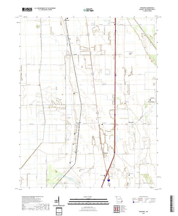 2021 Kewanee2021 Print · USGSNew Madrid County's Bootheel landscape is shown here in the early twenty-first century, revealing an area defined by agricultural drainage and ridge-top settlements. Genealogists can locate family landmarks like Farrenburg Brethren Cem and Malone Airfield near Kewanee.
End of results
Showing maps 1-8 of 8
Top cities near Matthews
- Sikeston historical maps
- Charleston historical maps
- East Prairie historical maps
- New Madrid historical maps
- Lilbourn historical maps
- Morehouse historical maps
See more
Frequently asked questions
- What are the different types of historical maps available for Matthews?
- What is the oldest map of Matthews?
- Where can I purchase historical maps of Matthews for my home or office?
- Where can I download high-res historical maps of Matthews?
- Are there historical topographic maps available for Matthews?
- Is there historical aerial imagery available for Matthews?
- Where are historical maps of Matthews sourced from?