Old Maps of Diamond, Missouri for Hiking & Exploration
Hike through history with 24 historic maps of Diamond. Explore old trails, ghost towns, and forgotten backroads — perfect for outdoor adventurers and local explorers.
- Rediscover forgotten places: Map out old mining camps, roads, and footpaths that no longer exist on modern maps.
- Layer with modern tools: Combine with LiDAR or satellite views to plan hikes through historical terrain.
- Made for exploration: Popular among hikers, overlanders, and local history lovers.
Use these maps to find adventure and explore the hidden past of Diamond.
Diamond, MO maps
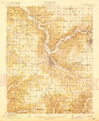
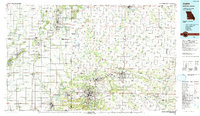
(24)- 1886 Map of Carthage
 1886 Carthage1886 Print · USGSJasper and Barton Counties thrive during the mid-1880s as the railroad era transforms the Missouri landscape into a bustling corridor of trade and industry. Genealogists and historians can trace the early footprints of Carthage, the mills at Bowers Mill, and the early rail connections through Webb City and Oronogo.
 - 1894 Map of Carthage
 1894 Carthage1894 Print · USGSSouthwest Missouri thrived as a rail and mining hub in the late nineteenth century. Genealogists can trace family roots through old settlements like Diamond City, Dudenville, and Bowers Mill during this period of growth.5 unique versions available
 - 1916 Map of Neosho
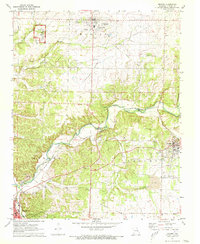
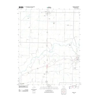
 1916 Neosho1916 Print · USGSNewton County's rail and mining heart beat strong during the years before the Great War. Genealogists and local historians can trace forgotten rural schoolhouses like Possumtrot School and Jaybird School, or locate early lead workings such as the Tiger Mine near Granby.5 unique versions available
 - 1947 Map of Joplin, 1954 Print
 1947 Joplin1954 Print · USGSThe borderlands of Missouri, Kansas, and Oklahoma are shown here during the late 1940s, a period of heavy industrial and military activity. Researchers can trace the extensive Tri-State Mining District, the layout of Camp Crowder, and local landmarks like Mount Hope Cem.
 - 1949 Map of Joplin
 1949 Joplin1949 Print · USGSThe Kansas-Missouri borderlands thrive in the late 1940s, showing a robust network of railroad towns and river valleys. Researchers can trace historic rail lines like the Missouri Pacific RR and locate rural centers such as Chanute, Iola, and Fort Scott.
 - 1954 Map of Tulsa
 1954 Tulsa1954 Print · USGSNortheast Oklahoma and the Ozark border are shown here during a period of massive industrial and infrastructure growth. Researchers can trace the legacy of the Tri-State Mining District and the development of major reservoirs like Grand Lake O' The Cherokees.2 unique versions available
 - 1954 Map of Joplin, 1967 Print
 1954 Joplin1967 Print · USGSThe tri-state border region of Kansas, Missouri, and Oklahoma is captured here during a peak era of mid-century industrial and agricultural activity. Researchers can trace family history through dozens of rural cemeteries or locate landmarks like the Kansas Army Ammunition Plant and Pittsburg State University.3 unique versions available
 - 1958 Map of Joplin
 1958 Joplin1958 Print · USGSThe tri-state border region of Missouri, Kansas, and Oklahoma is shown during the late fifties, a time of heavy rail traffic and mining activity. Local historians can trace the industrial landscape through the Joplin & Pittsburg Ry or locate family sites like Zion Ch and Bender Mounds.
 - 1958 Map of Tulsa, 1968 Print
 1958 Tulsa1968 Print · USGSNortheast Oklahoma and the Ozark borderlands are captured here during a massive era of reservoir construction and highway expansion. Researchers can trace the mid-century footprints of Tulsa, the sprawling Lake O' the Cherokees, and historical sites like Pea Ridge National Military Park.3 unique versions available
 - 1959 Map of Joplin
 1959 Joplin1959 Print · USGSThe Tri-State region’s mining and rail-driven economy is on full display in the late fifties. Genealogists can locate Lead and Zinc Mines near Joplin, family markers at Oak Hill Cem, and military history at Camp Clark.
 - 1963 Map of Tulsa
 1963 Tulsa1963 Print · USGSThe Oklahoma and Arkansas borderlands are shown here in the early sixties, a time of massive reservoir construction and heavy mining. Genealogists can trace family roots through settlements like Nowata, Pryor, and Jay, or locate historical zinc and lead mines and coal mines.
 - 1963 Map of Fidelity, 1964 Print
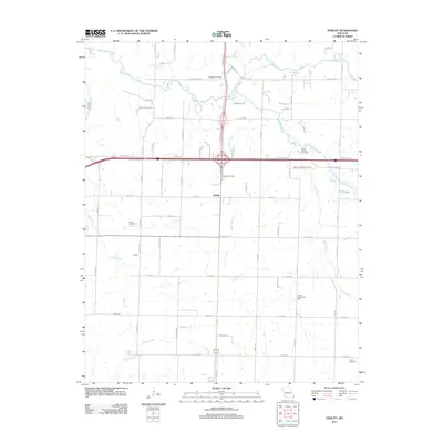
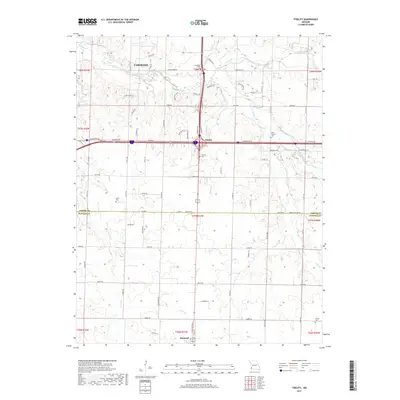
 1963 Fidelity1964 Print · USGSJasper and Newton counties are captured here in the early sixties, showing the rural communities between Fidelity and Diamond. Local historians can trace family roots through several legacy sites, including Stone Cem, Fullerton Cem, and the Liberty Ch.2 unique versions available
 - 1972 Map of Granby, 1973 Print
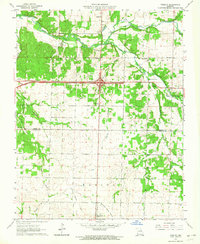
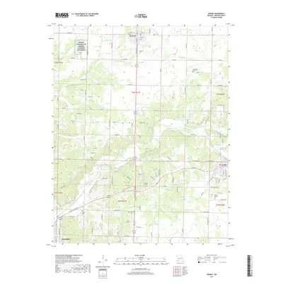
 1972 Granby1973 Print · USGSNewton County in the early seventies shows a landscape defined by prairie agriculture, the legacy of lead mining, and the St Louis-San Francisco rail line. Genealogists can trace local roots at Granby Memorial Cem, Hazelwood Cem, and the childhood home of a famed scientist at George Washington Carver National Monument.
 - 1986 Map of Neosho
 1986 Neosho1986 Print · USGSThe tri-state border region comes alive in the mid-eighties as a landscape of mining heritage and river valleys. Researchers can trace the rail lines of the Kansas City Southern Ry and locate rural landmarks like Gibson Cem and Peoria.2 unique versions available
 - 1986 Map of Joplin
 1986 Joplin1986 Print · USGSThe tri-state border region comes alive in the mid-eighties as an industrial and transit powerhouse where Kansas and Missouri meet. Researchers can trace the heavy rail influence of the Missouri Pacific RR and explore sites like the Mined Land State Wildlife Area.
 - 1991 Map of Joplin
 1991 Joplin1991 Print · USGSThe tri-state mining district and the Ozark foothills meet in the early 1990s as industrial land transitions into conservation areas. Genealogists and historians can trace the growth of Joplin and Baxter Springs or locate rural sites like Mount Hope Cem and Blue Mound.
 - 2011 Map of Fidelity, 2011 Print
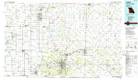
 2011 Fidelity2011 Print · USGSCovers Diamond, including Carthage, Fidelity, and other nearby areas
 - 2012 Map of Granby, 2012 Print
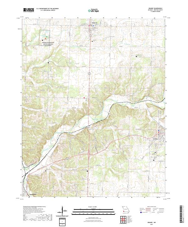
 2012 Granby2012 Print · USGSCovers Diamond, including Neosho, Granby, and other nearby areas
 - 2015 Map of Fidelity, 2015 Print
 2015 Fidelity2015 Print · USGSCovers Diamond, including Carthage, Fidelity, and other nearby areas
 - 2015 Map of Granby, 2015 Print
 2015 Granby2015 Print · USGSCovers Diamond, including Neosho, Granby, and other nearby areas
 - 2017 Map of Fidelity, 2017 Print
 2017 Fidelity2017 Print · USGSCovers Diamond, including Carthage, Fidelity, and other nearby areas
 - 2017 Map of Granby, 2017 Print
 2017 Granby2017 Print · USGSCovers Diamond, including Neosho, Granby, and other nearby areas
 - 2021 Map of Granby, 2021 Print
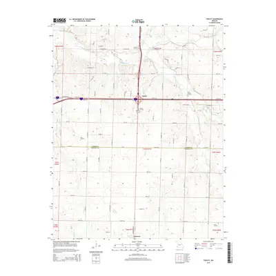
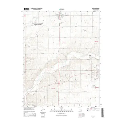
 2021 Granby2021 Print · USGSMissouri's Newton County is captured here in the early twenty-first century, showing the rural corridor between Diamond and Granby. Researchers can pinpoint numerous burial grounds like Hazelwood Cem and Boyd Cem, or explore the grounds of the George Washington Carver National Monument.
 - 2021 Map of Fidelity, 2021 Print
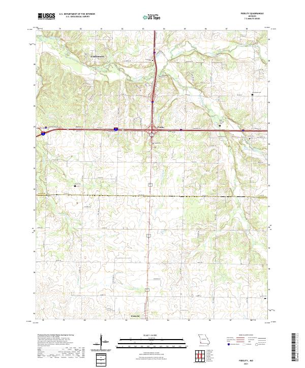 2021 Fidelity2021 Print · USGSFidelity and the surrounding Jasper County countryside are documented here in the early 2020s. Genealogists can trace family roots through numerous local burial grounds such as Stone Cem, Center Cem, and Emmanuel Cem along the Center Creek basin.
End of results
Showing maps 1-24 of 24
Top cities near Diamond
- Joplin historical maps
- Carthage historical maps
- Neosho historical maps
- Webb City historical maps
- Carl Junction historical maps
- Granby historical maps
See more
Frequently asked questions
- What are the different types of historical maps available for Diamond?
- What is the oldest map of Diamond?
- Where can I purchase historical maps of Diamond for my home or office?
- Where can I download high-res historical maps of Diamond?
- Are there historical topographic maps available for Diamond?
- Is there historical aerial imagery available for Diamond?
- Where are historical maps of Diamond sourced from?