Old Maps of Bedison, Missouri
Explore 10 old maps of Bedison, spanning from 1943 to today. These high-resolution historic maps reveal how streets, neighborhoods, landmarks, and natural features evolved over time — perfect for genealogy, metal detecting, research, and local history exploration.
What you can do with these maps:
- See how Bedison changed over time: Compare historical maps to modern-day views to trace roads, homesites, rail lines & more.
- View detailed metadata: Each map includes creators, publishers, year, scale, and archive source.
- Overlay maps with satellite & LiDAR: Visualize the past alongside modern tools to explore terrain & human change.
- Trusted historical sources: Maps sourced from the USGS, Library of Congress, and other archives.
- Access maps your way: View online, download high-res files, or order prints for personal or research use.
Start exploring old maps of Bedison to uncover forgotten places, hidden landmarks, and the deep history beneath your feet.
Bedison, MO maps
(10)- 1943 Map of Maryville
 1943 Maryville1943 Print · USGSNodaway County agricultural life and the growing city of Maryville are documented here just before the mid-century. Genealogists can locate dozens of rural landmarks, from Workman Union Chapel to family-named schools like Guthrie Sch and Casteel Sch.3 unique versions available
 - 1955 Map of Nebraska City, 1967 Print
 1955 Nebraska City1967 Print · USGSThe four-state region surrounding the Missouri River valley appears here in the mid-1950s, a landscape of rail-dependent market towns and rural school districts. Genealogists can locate family landmarks like the Rock Bluff School, St Oswald Church, and the Clarinda State Hospital.3 unique versions available
 - 1957 Map of Nebraska City
 1957 Nebraska City1957 Print · USGSThe four-state junction of Nebraska, Iowa, Missouri, and Kansas comes alive in this mid-fifties survey of the Missouri River valley. Genealogists and historians can trace the rail-and-road networks connecting Nebraska City, Maryville, and the Squaw Creek National Wildlife Refuge.
 - 1958 Map of Nebraska City
 1958 Nebraska City1958 Print · USGSThe Missouri River Valley and its fertile four-state borderlands are captured here during the mid-century expansion of the regional highway and rail networks. Genealogists can trace family roots through numerous rural landmarks like Moulton School, Shady Grove Church, and the Clarinda State Hospital.
 - 1985 Map of Maryville East
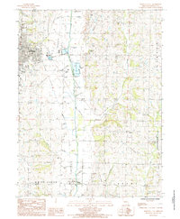 1985 Maryville East1985 Print · USGSNodaway County agricultural life and the expansion of Maryville are documented in this mid-eighties survey. Researchers can locate the small communities of Bedison and Arkoe or trace the Old Railroad Grade along the One Hundred Two River.
 - 1986 Map of Maryville
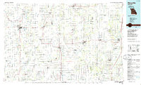 1986 Maryville1986 Print · USGSNorthwest Missouri's agricultural heartland is documented here in the mid-1980s, from the campus at Northwest Missouri State University to the Grand River valley. Genealogists can trace family footprints across dozens of local burial grounds like Alanthus Grove Cem and Brooklyn Cem.2 unique versions available
 - 2011 Map of Maryville East, 2011 Print
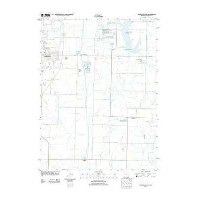 2011 Maryville East2011 Print · USGSNodaway County in the early twenty-first century reveals a blend of college-town growth and structured rural water management. Genealogists and local historians can trace the lands around Arkoe, Bedison, and the winding One Hundred and Two River.
 - 2014 Map of Maryville East, 2014 Print
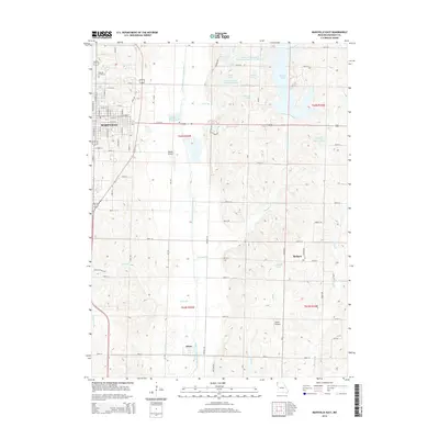 2014 Maryville East2014 Print · USGSNodaway County farming and aviation are centered around the eastern edge of Maryville during this modern era. Researchers can trace the rural layouts of Arkoe and Bedison, locate the Oak Hill Cemetery, or follow the One Hundred and Two River through the valley.
 - 2017 Map of Maryville East, 2017 Print
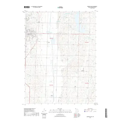 2017 Maryville East2017 Print · USGSNodaway County agriculture and rural life are centered here in the late 2010s. Researchers can trace family sites near Arkoe and Bedison, locate the Oak Hill Cemetery, or follow the winding One Hundred and Two River through the heart of the county.
 - 2021 Map of Maryville East, 2021 Print
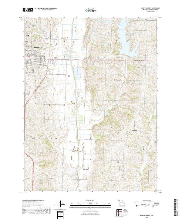 2021 Maryville East2021 Print · USGSThe area east of Maryville during the early 2020s shows a balance of civic life and water management. Researchers can locate the Nodaway County Courthouse, the small community of Arkoe, and family-named water bodies like Hiley Lake.
End of results
Showing maps 1-10 of 10
Top cities near Bedison
- Maryville historical maps
- Stanberry historical maps
- Ravenwood historical maps
- Barnard historical maps
- Bolckow historical maps
- Conception Junction historical maps
See more
Frequently asked questions
- What are the different types of historical maps available for Bedison?
- What is the oldest map of Bedison?
- Where can I purchase historical maps of Bedison for my home or office?
- Where can I download high-res historical maps of Bedison?
- Are there historical topographic maps available for Bedison?
- Is there historical aerial imagery available for Bedison?
- Where are historical maps of Bedison sourced from?