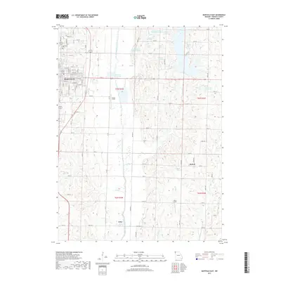
2017 Map of Maryville East
USGS Topo · Published 2017About this map
The One Hundred and Two River snakes through this agricultural landscape east of Maryville, defining the drainage patterns and land use of central Nodaway County. The map details a transition from the urban grid of Maryville, featuring the Oak Hill Cemetery and Maryville Waterworks, into a rural expanse punctuated by small communities and localized infrastructure. Small unincorporated areas like Arkoe and Bedison serve as anchors for the surrounding farmsteads, while specialized transport hubs such as Rankin Airport and Tallen Airport suggest the modern connectivity of this prairie region. Numerous small reservoirs and lakes, including Schimming Lake and Lochridge Farms Lake, highlight the importance of water management and private land development along tributaries like Mozingo Creek and Thill Branch.
Find a feature on this map
68 named features on this map. Tap any name to fly to it.
Don’t see what you’re looking for? This feature index may not catch every label — zoom into the map to look around manually.
Map Details
Editions of this 2017 Maryville East Map
This is the sole edition of this map. No revisions or reprints were ever made.
Other maps of this area

1925 · Stanberry
USGS Topo · 1:62,500

1927 · Bolckow
USGS Topo · 1:62,500

1939 · Stanberry
USGS Topo · 1:62,500

1940 · Parnell
USGS Topo · 1:62,500

1943 · Parnell
USGS Topo · 1:62,500

1943 · Maryville
USGS Topo · 1:62,500

1943 · Stanberry
USGS Topo · 1:62,500

1945 · Bolckow
USGS Topo · 1:62,500

1955 · Nebraska City
USGS Topo · 1:250,000

1957 · Nebraska City
USGS Topo · 1:250,000