2000s (21st Century) Maps of Yancy Mills, Missouri
Explore 5 historic maps of Yancy Mills from the 2000s (21st Century). These maps offer a rare glimpse into what life looked like during the 2000s — showing old roads, neighborhoods, homes, and landmarks that have changed or disappeared over time.
Whether you're researching your family's past, planning a metal detecting trip, or studying how Yancy Mills's landscape evolved across the 2000s, these high-resolution maps are a powerful tool for exploring the history of this region.
- Focus on a specific era: All maps on this page are from the 2000s, giving you a focused view of this time period.
- See what’s changed: Compare century-old streets, trails, and buildings to today's modern landscape using overlays and satellite layers.
- Research with precision: Use these maps for genealogy, historical research, land use analysis, or educational projects.
- View, download, or print: Maps are fully viewable online in high resolution, and can be downloaded or printed for your own records.
Start exploring Yancy Mills's history through authentic maps from the 2000s. This is your window into the past.
Yancy Mills, MO maps
(5)- 2004 Map of Yancy Mills, 2006 Print
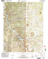 2004 Yancy Mills2006 Print · USGSThe Ozark highlands near the Phelps and Dent County line are captured here as they appeared in the early 2000s. Researchers can locate family landmarks such as the Brookshire Cem, Grayson Sch, and the site of the Moselle Mine.
 - 2011 Map of Yancy Mills, 2011 Print
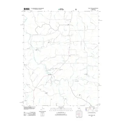 2011 Yancy Mills2011 Print · USGSCovers Yancy Mills, including Vida, Phelps County, and other nearby areas
 - 2015 Map of Yancy Mills, 2015 Print
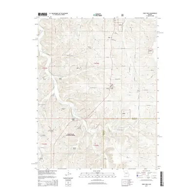 2015 Yancy Mills2015 Print · USGSCovers Yancy Mills, including Vida, Phelps County, and other nearby areas
 - 2017 Map of Yancy Mills, 2017 Print
 2017 Yancy Mills2017 Print · USGSCovers Yancy Mills, including Vida, Phelps County, and other nearby areas
 - 2021 Map of Yancy Mills, 2021 Print
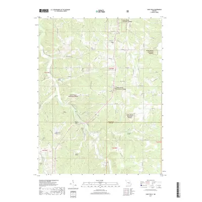
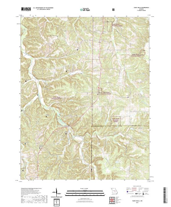 2021 Yancy Mills2021 Print · USGSThe northern Ozarks landscape of Phelps and Dent counties is captured here in a period of modern forest management. Genealogists can trace family heritage at the Wright Slave Cem, Old Philadelphia Baptist Church, and George Lane Cem near Yancy Mills.
End of results
Showing maps 1-5 of 5
Top cities near Yancy Mills
- Rolla historical maps
- St. James historical maps
- Sherrill historical maps
- Doolittle historical maps
- Newburg historical maps
- Edgar Springs historical maps
See more
Frequently asked questions
- What are the different types of historical maps available for Yancy Mills?
- What is the oldest map of Yancy Mills?
- Where can I purchase historical maps of Yancy Mills for my home or office?
- Where can I download high-res historical maps of Yancy Mills?
- Are there historical topographic maps available for Yancy Mills?
- Is there historical aerial imagery available for Yancy Mills?
- Where are historical maps of Yancy Mills sourced from?