2000s (21st Century) Maps of Flemington, Missouri
Explore 8 historic maps of Flemington from the 2000s (21st Century). These maps offer a rare glimpse into what life looked like during the 2000s — showing old roads, neighborhoods, homes, and landmarks that have changed or disappeared over time.
Whether you're researching your family's past, planning a metal detecting trip, or studying how Flemington's landscape evolved across the 2000s, these high-resolution maps are a powerful tool for exploring the history of this region.
- Focus on a specific era: All maps on this page are from the 2000s, giving you a focused view of this time period.
- See what’s changed: Compare century-old streets, trails, and buildings to today's modern landscape using overlays and satellite layers.
- Research with precision: Use these maps for genealogy, historical research, land use analysis, or educational projects.
- View, download, or print: Maps are fully viewable online in high resolution, and can be downloaded or printed for your own records.
Start exploring Flemington's history through authentic maps from the 2000s. This is your window into the past.
Flemington, MO maps
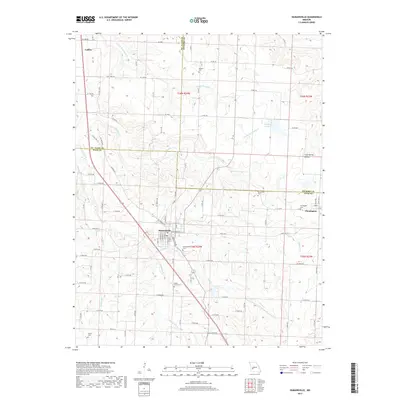
(8)- 2011 Map of Humansville, 2011 Print
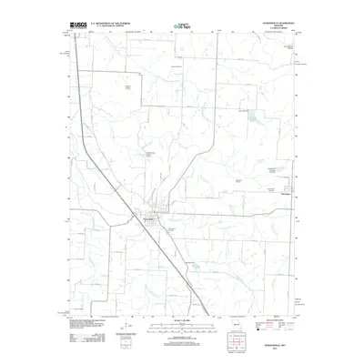 2011 Humansville2011 Print · USGSCovers Flemington, including Humansville, Collins, and other nearby areas
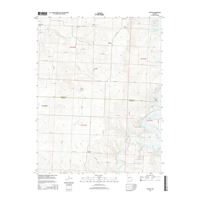
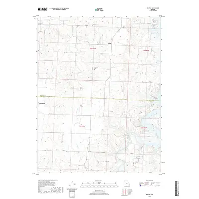
 - 2011 Map of Elkton, 2011 Print
 2011 Elkton2011 Print · USGSCovers Flemington, including Elkton, Rondo, and other nearby areas
 - 2015 Map of Elkton, 2015 Print
 2015 Elkton2015 Print · USGSCovers Flemington, including Elkton, Rondo, and other nearby areas
 - 2015 Map of Humansville, 2015 Print
 2015 Humansville2015 Print · USGSCovers Flemington, including Humansville, Collins, and other nearby areas
 - 2017 Map of Humansville, 2017 Print
 2017 Humansville2017 Print · USGSCovers Flemington, including Humansville, Collins, and other nearby areas
 - 2017 Map of Elkton, 2017 Print
 2017 Elkton2017 Print · USGSCovers Flemington, including Elkton, Rondo, and other nearby areas
 - 2021 Map of Elkton, 2021 Print
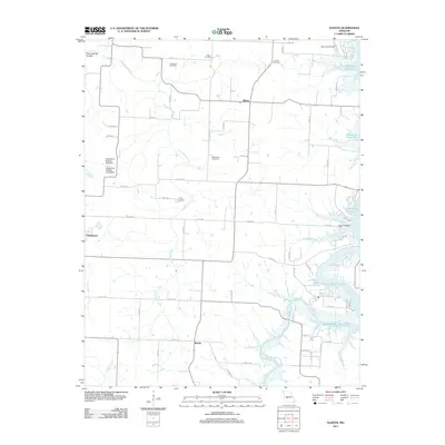
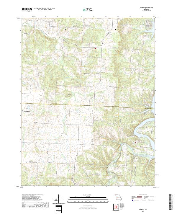 2021 Elkton2021 Print · USGSCrossing the Hickory and Polk County line in the early 2020s, this area reflects a rural landscape defined by its river valleys and family homesteads. Researchers can trace ancestral connections through several local burial sites like McCracken Cem and Leiman Cem near Elkton.
 - 2021 Map of Humansville, 2021 Print
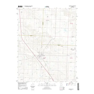
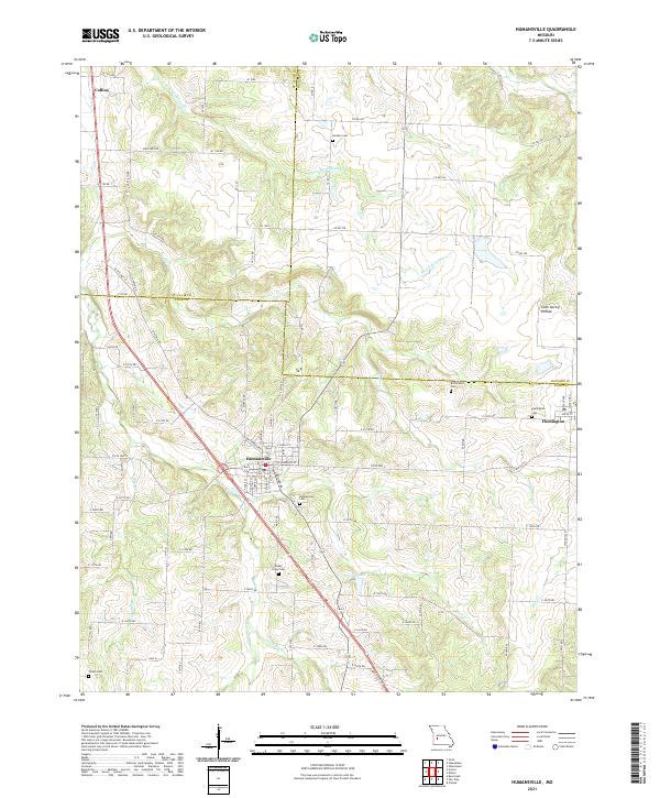 2021 Humansville2021 Print · USGSThe tri-county borderlands of Polk, St. Clair, and Hickory counties are documented in this recent survey. Local historians can trace family locations at Humansville Cem, Shady Grove Cem, and the quiet rural roads around Flemington.
End of results
Showing maps 1-8 of 8
Top cities near Flemington
- Bolivar historical maps
- Humansville historical maps
- Osceola historical maps
- Weaubleau historical maps
- Hermitage historical maps
- Fair Play historical maps
See more
Frequently asked questions
- What are the different types of historical maps available for Flemington?
- What is the oldest map of Flemington?
- Where can I purchase historical maps of Flemington for my home or office?
- Where can I download high-res historical maps of Flemington?
- Are there historical topographic maps available for Flemington?
- Is there historical aerial imagery available for Flemington?
- Where are historical maps of Flemington sourced from?