Old Maps of Paterson Ford, Missouri for Academic Research
Study the evolution of Paterson Ford with 12 high-resolution historic maps. Whether you're teaching, researching, or modeling changes in land use, these maps provide essential visual documentation of urban, environmental, and geographic change.
- Analyze long-term change: Track patterns in development, transportation, and natural features.
- Ideal for environmental or urban studies: Support academic projects with primary historical map data.
- Use in the classroom or lab: Educators and researchers rely on these maps to bring historical context to life.
These maps are a powerful tool for teaching, research, and visualizing how Paterson Ford has changed over the decades.
Paterson Ford, MO maps
(12)- 1935 Map of Acorn, 1936 Print
 1935 Acorn1936 Print · USGSRipley and Butler counties are captured in the mid-1930s just as drainage projects were reshaping the river bottomlands. Researchers can trace vanished rail stops and numerous combined community hubs like Spring Hill Sch & Cem, Venerable Sch, and Torch.
 - 1940 Map of Naylor
 1940 Naylor1940 Print · USGSRipley and Butler counties are captured here just before the mid-century, showing a landscape defined by the Little Black River and a dense rail network. Genealogists can trace family roots through dozens of local sites like Sixteen to One Sch and the Military Cem.
 - 1944 Map of Naylor
 1944 Naylor1944 Print · USGSThe Missouri-Arkansas border region in the early 1940s reveals a landscape shaped by the St Louis San Francisco railroad and the historic Military Road. Researchers can trace old family-named sites like Cochran Cem, Sewell Sch, and the riverside settlement of Naylor.2 unique versions available
 - 1957 Map of Poplar Bluff, 1968 Print
 1957 Poplar Bluff1968 Print · USGSThe Missouri-Arkansas border region is captured here as the timber and rail industries shaped the Ozark foothills. Genealogists and historians can trace the Missouri Pacific Railroad through river towns like Pocahontas, Greenville, and Van Buren.3 unique versions available
 - 1959 Map of Poplar Bluff
 1959 Poplar Bluff1959 Print · USGSThe Missouri Ozarks and Arkansas borderlands meet in this late 1950s study of the region's diverse terrain and rail-fed towns. Researchers can trace the path of the Missouri Pacific Railroad through Poplar Bluff or locate smaller settlements like Birch Tree and Myrtle.
 - 1960 Map of Poplar Bluff
 1960 Poplar Bluff1960 Print · USGSSoutheast Missouri and Northeast Arkansas are captured here during the post-war era, showing the transition from the Ozark highlands to the Delta. Genealogists and historians can trace rail corridors like the St. Louis Southwestern RR and remote settlements such as Birch Tree and Warm Springs.
 - 1979 Map of Flatwoods, 1980 Print
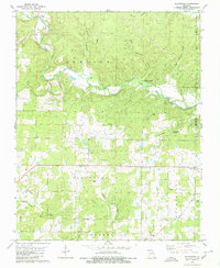 1979 Flatwoods1980 Print · USGSRipley County, Missouri, is captured here in the late seventies, showing a landscape defined by the winding Little Black River and small rural hubs. Researchers can locate remote family burials and country churches like Woolard Cem, Pilgrims Rest Ch, and the historic Military Road.2 unique versions available
 - 1983 Map of Poplar Bluff
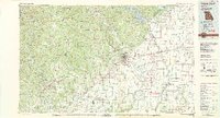 1983 Poplar Bluff1983 Print · USGSSoutheast Missouri in the early 1980s reveals a landscape defined by the Ozark foothills and the complex drainage systems of the Bootheel. Researchers can trace the rail corridors of the Missouri Pacific RR through Poplar Bluff or locate rural sites like Wilhelmina Church and Lone Hill Lookout.
 - 2011 Map of Flatwoods, 2011 Print
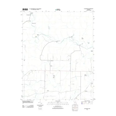 2011 Flatwoods2011 Print · USGSThe Little Black River and its many historic crossings define this corner of Ripley County in the early 2000s. Researchers can trace local heritage through numerous family-named sites, including Spring Hill Cemetery, Pennington Mill, and the Ernest Post Office.
 - 2015 Map of Flatwoods, 2015 Print
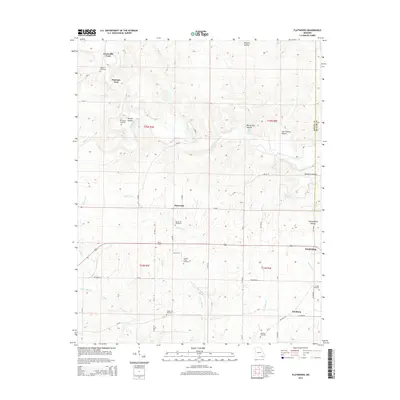 2015 Flatwoods2015 Print · USGSRipley County is captured in the mid-2010s, showcasing a landscape defined by the Little Black River and its many hollows. Researchers can locate several rural burial grounds like McCluskey Cemetery and early river crossings such as Greenville Ford.
 - 2017 Map of Flatwoods, 2017 Print
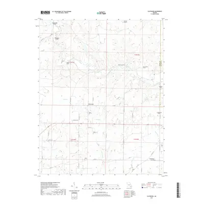 2017 Flatwoods2017 Print · USGSRipley County is captured in this survey of the Ozark foothills, where river crossings and family cemeteries define the landscape. Researchers can trace family roots at Spring Hill Cem and Woolard Cem or locate old crossings at Greenville Ford.
 - 2021 Map of Flatwoods, 2021 Print
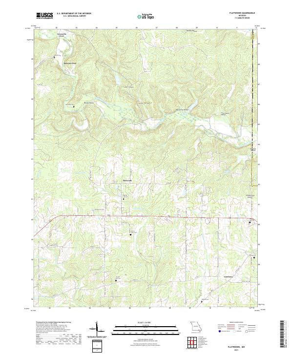 2021 Flatwoods2021 Print · USGSSoutheast Missouri's rural landscape comes into focus during this contemporary survey of the hills and hollows along the Little Black River. Genealogists can locate family landmarks like Spring Hill Cem and Woolard Cem or trace old river crossings at Greenville Ford.
End of results
Showing maps 1-12 of 12
Top cities near Paterson Ford
- Doniphan historical maps
- Naylor historical maps
- Neelyville historical maps
- Ellsinore historical maps
- Grandin historical maps
Frequently asked questions
- What are the different types of historical maps available for Paterson Ford?
- What is the oldest map of Paterson Ford?
- Where can I purchase historical maps of Paterson Ford for my home or office?
- Where can I download high-res historical maps of Paterson Ford?
- Are there historical topographic maps available for Paterson Ford?
- Is there historical aerial imagery available for Paterson Ford?
- Where are historical maps of Paterson Ford sourced from?