Old Maps of Flint Hill, Missouri
Explore 33 old maps of Flint Hill, spanning from 1903 to today. These high-resolution historic maps reveal how streets, neighborhoods, landmarks, and natural features evolved over time — perfect for genealogy, metal detecting, research, and local history exploration.
What you can do with these maps:
- See how Flint Hill changed over time: Compare historical maps to modern-day views to trace roads, homesites, rail lines & more.
- View detailed metadata: Each map includes creators, publishers, year, scale, and archive source.
- Overlay maps with satellite & LiDAR: Visualize the past alongside modern tools to explore terrain & human change.
- Trusted historical sources: Maps sourced from the USGS, Library of Congress, and other archives.
- Access maps your way: View online, download high-res files, or order prints for personal or research use.
Start exploring old maps of Flint Hill to uncover forgotten places, hidden landmarks, and the deep history beneath your feet.
Flint Hill, MO maps
(33)- 1903 Map of O'Fallon
 1903 O'Fallon1903 Print · USGSSt. Charles County at the turn of the century is a labyrinth of river islands and rail lines at the confluence of the Missouri and Mississippi. Researchers can trace old river landings like Cap Au Gris Landing and family-named settlements from Moscow Mills to New Melle.5 unique versions available
 - 1941 Map of Troy, 1964 Print
 1941 Troy1964 Print · USGSLincoln and St. Charles Counties are captured here in the early 1940s as the rail-and-river economy shaped local life. Researchers can trace dozens of rural schoolhouses and family landmarks like Pond Fort Sch, Shiloh Ch, and the Wabash RR junction at Wentzville.2 unique versions available
 - 1945 Map of Troy
 1945 Troy1945 Print · USGSLincoln and St. Charles counties are shown in the 1940s, revealing a landscape of small farming hamlets and a high density of rural schoolhouses. Researchers can trace the paths of the Wabash RR and locate ancestral landmarks like Owen Station Sch or Oak Grove Cem.2 unique versions available
 - 1949 Map of Saint Louis
 1949 Saint Louis1949 Print · USGSGreater St. Louis and its surrounding river valleys are captured here just after the war, showing the metropolitan core and the rural Ozark fringe. Researchers can trace the sprawling rail network of the Wabash RR or locate landmarks like Meramec Caverns Airport and Scott Air Force Base.2 unique versions available
 - 1962 Map of St. Louis
 1962 St. Louis1962 Print · USGSThe mid-century gateway to the west shows the metropolitan expansion of St Louis alongside its critical river confluences. Genealogists and historians can trace the rail corridors of the Missouri Pacific RR and settlements from Fulton to De Soto.
 - 1963 Map of St. Louis, 1970 Print
 1963 St. Louis1970 Print · USGSSt. Louis and its surrounding river valleys are captured here during the peak of mid-century suburban expansion and industrial activity. Trace the historic rail routes of the Norfolk and Western Ry or locate the St Louis Ordnance Plant and early stretches of US Highway 66.4 unique versions available
 - 1966 Map of St. Louis
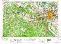 1966 St. Louis1966 Print · USGSThe St. Louis metropolitan area and its surrounding river valleys are captured here during the mid-sixties era of suburban growth and industrial strength. Genealogists and historians can trace the foundations of local communities through sites like Old Pioneer Cem, Parks College, and the Jefferson Barracks Military Reservation.
 - 1972 Map of Foristell, 1973 Print
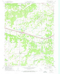 1972 Foristell1973 Print · USGSForistell and the surrounding tri-county rural landscape appear here in the early seventies, caught between its rail-town roots and growing industrial utility. Researchers can locate family landmarks along Stringtown Road or trace sites like Smith Chapel and the Mid America Raceway.3 unique versions available
 - 1972 Map of Troy, 1973 Print
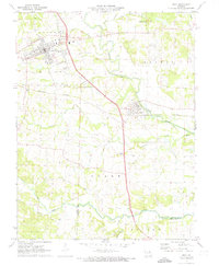 1972 Troy1973 Print · USGSLincoln County in the early 1970s reveals a landscape where modern development met historic rail and river corridors. Researchers can trace family roots at Sand Run Ch or Bray Cem, and explore the path of the Old Railroad Grade near Moscow Mills.3 unique versions available
 - 1972 Map of Wentzville, 1973 Print
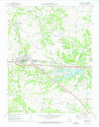 1972 Wentzville1973 Print · USGSWentzville and its surrounding St. Charles County townships are captured here during a period of suburban growth in the early seventies. Genealogists and local historians can trace family-named routes and old communities like Flint Hill, Gilmore, and the historic Weldon Spring Ch.2 unique versions available
 - 1972 Map of Maryknoll, 1973 Print
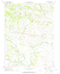 1972 Maryknoll1973 Print · USGSLincoln and St. Charles counties meet along the winding river valley in the early seventies, a landscape shaped by rail and water. Genealogists can locate family landmarks such as Highland Prairie Ch and St Pauls Ch or trace the early paths of Ethlyn and Old Monroe.
 - 1979 Map of Foristell, 1980 Print
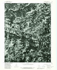 1979 Foristell1980 Print · USGSThe Missouri countryside around Foristell is captured in late 1979 through high-resolution aerial imagery rather than traditional line drawing. Researchers can trace the exact 1970s land use patterns along Peruque Creek and the Fifth Principal Meridian.
 - 1979 Map of Maryknoll, 1980 Print
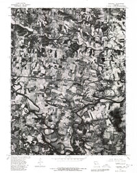 1979 Maryknoll1980 Print · USGSLincoln County farmland and river bends appear in sharp detail just before the 1980s. Genealogists and historians can trace the rural layouts of Old Monroe and Chain of Rocks along the banks of the Cuivre River.
 - 1979 Map of Troy, 1980 Print
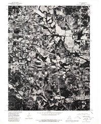 1979 Troy1980 Print · USGSLincoln County comes into sharp focus in the late seventies as the expansion of Troy meets the agricultural traditions of the Cuivre River valley. Researchers can trace land divisions along the Fifth Principal Meridian or explore the mid-century layout of Moscow Mills.
 - 1979 Map of Wentzville, 1980 Print
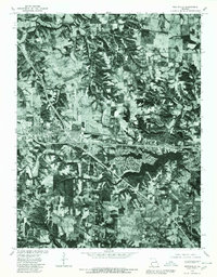 1979 Wentzville1980 Print · USGSSt. Charles County undergoes a visible transformation in the late seventies as residential growth meets rural Missouri farmland. Trace the development of Lake St Louis and examine the early footprints of Wentzville, Josephville, and Gilmore.
 - 1985 Map of St Louis
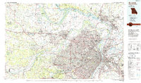 1985 St Louis1985 Print · USGSThe St. Louis metropolitan area and its river confluences are captured here during a period of significant suburban expansion in the 1980s. Genealogists and historians can trace the development of older neighborhoods and landmarks like Jefferson Barracks, Cahokia Mounds State Park, and Washington University.3 unique versions available
 - 2000 Map of Wentzville, 2003 Print
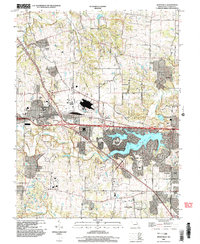 2000 Wentzville2003 Print · USGSWentzville and St. Charles County were undergoing a period of intense suburban development at the turn of the century. Genealogists and local historians can trace the evolution of old settlements like Flint Hill and Josephville alongside the growth of Lake Saint Louis.
 - 2012 Map of Maryknoll, 2012 Print
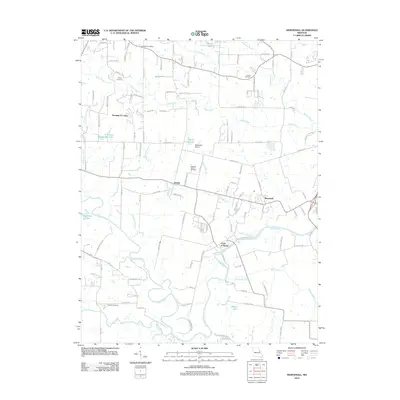 2012 Maryknoll2012 Print · USGSEastern Lincoln County is shown here in the early twenty-first century as its rural settlements and riverfront communities continue to evolve. Researchers can locate family landmarks like Rybolt Cemetery, trace the Cuivre River bank, or find the Chantilla Post Office.
 - 2012 Map of Wentzville, 2012 Print
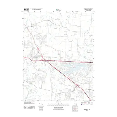 2012 Wentzville2012 Print · USGSWentzville and western St. Charles County are shown during a period of significant suburban growth in the early twenty-first century. Genealogists and local historians can locate Linn Cemetery and trace the development around Lake Saint Louis, Flint Hill, and Josephville.
 - 2012 Map of Troy, 2012 Print
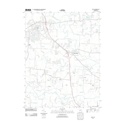 2012 Troy2012 Print · USGSTroy and the surrounding Lincoln County countryside appear here in the early twenty-first century as suburban growth meets a historic rural landscape. Researchers can locate numerous family burial grounds like Frieden Cemetery and Wade Cemetery along the banks of the Cuivre River.
 - 2012 Map of Foristell, 2012 Print
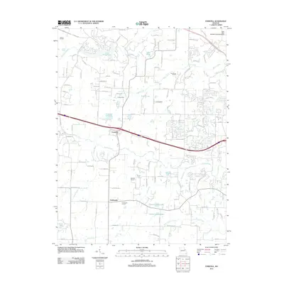 2012 Foristell2012 Print · USGSForistell and Pauldingville are shown during a period of transition in the early 2010s as suburban reach extends into the countryside. Researchers can pinpoint Metcalf Cemetery, trace the path of Peruque Creek, and locate the Mid America Raceway.
 - 2015 Map of Troy, 2015 Print
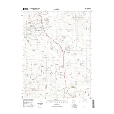 2015 Troy2015 Print · USGSTroy and Moscow Mills appear in detail during this period of 21st-century growth in Lincoln County. Genealogists can trace family heritage across numerous local sites including Ross Cemetery, Miller Cemetery, and Luckett Ridge.
 - 2015 Map of Maryknoll, 2015 Print
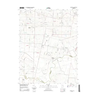 2015 Maryknoll2015 Print · USGSThe Lincoln and St. Charles county line comes alive in this 2015 survey, where the winding Cuivre River meets settled communities and farmsteads. Researchers can locate family heritage sites like Rybolt Cemetery and Admire Cemetery or trace the early 21st-century growth of Winfield and Maryknoll.
 - 2015 Map of Foristell, 2015 Print
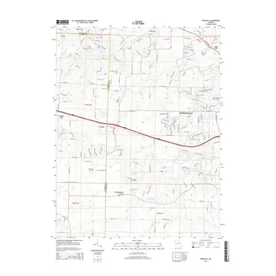 2015 Foristell2015 Print · USGSThe borderlands of St. Charles and Warren counties come into sharp focus during this period of suburban growth. Genealogists and local historians can trace early settlement roots at Pauldingville, Oak Grove Cemetery, and the historic town site of Foristell.
 - 2015 Map of Wentzville, 2015 Print
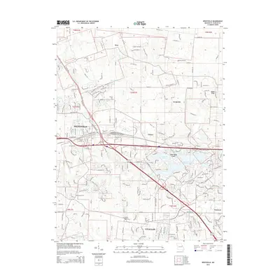 2015 Wentzville2015 Print · USGSSaint Charles County's rapid expansion meets its deep-rooted rural origins in this 2010s survey. Researchers can trace family history at Saint Patrick Church and Linn Cemetery or locate the quiet crossroads of Josephville and Gilmore.
Showing maps 1-25 of 33
Top cities near Flint Hill
- O'Fallon historical maps
- Saint Peters historical maps
- Chesterfield historical maps
- Wentzville historical maps
- Wildwood historical maps
- Troy historical maps
See more
Frequently asked questions
- What are the different types of historical maps available for Flint Hill?
- What is the oldest map of Flint Hill?
- Where can I purchase historical maps of Flint Hill for my home or office?
- Where can I download high-res historical maps of Flint Hill?
- Are there historical topographic maps available for Flint Hill?
- Is there historical aerial imagery available for Flint Hill?
- Where are historical maps of Flint Hill sourced from?