Old Maps of Flint Hill, Missouri for Genealogy
Trace your family roots with 33 historic maps of Flint Hill. These high-res maps reveal old neighborhoods, homesites, landmarks, and streets — helping you uncover where your ancestors lived and how the area evolved over time.
- Explore historic neighborhoods: Identify where your relatives may have lived in the 1800s or 1900s.
- Compare maps over time: Trace the changes in streets, buildings, and landmarks for multi-generational research.
- Perfect for genealogy & ancestry research: Used by family historians and researchers to map out lineage and migration.
These maps are an incredible resource for exploring your personal connection to Flint Hill's past.
Flint Hill, MO maps
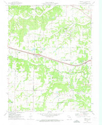
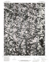
(33)- 1903 Map of O'Fallon
 1903 O'Fallon1903 Print · USGSSt. Charles County at the turn of the century is a labyrinth of river islands and rail lines at the confluence of the Missouri and Mississippi. Researchers can trace old river landings like Cap Au Gris Landing and family-named settlements from Moscow Mills to New Melle.5 unique versions available
 - 1941 Map of Troy, 1964 Print
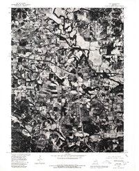
 1941 Troy1964 Print · USGSLincoln and St. Charles Counties are captured here in the early 1940s as the rail-and-river economy shaped local life. Researchers can trace dozens of rural schoolhouses and family landmarks like Pond Fort Sch, Shiloh Ch, and the Wabash RR junction at Wentzville.2 unique versions available
 - 1945 Map of Troy
 1945 Troy1945 Print · USGSLincoln and St. Charles counties are shown in the 1940s, revealing a landscape of small farming hamlets and a high density of rural schoolhouses. Researchers can trace the paths of the Wabash RR and locate ancestral landmarks like Owen Station Sch or Oak Grove Cem.2 unique versions available
 - 1949 Map of Saint Louis
 1949 Saint Louis1949 Print · USGSGreater St. Louis and its surrounding river valleys are captured here just after the war, showing the metropolitan core and the rural Ozark fringe. Researchers can trace the sprawling rail network of the Wabash RR or locate landmarks like Meramec Caverns Airport and Scott Air Force Base.2 unique versions available
 - 1962 Map of St. Louis
 1962 St. Louis1962 Print · USGSThe mid-century gateway to the west shows the metropolitan expansion of St Louis alongside its critical river confluences. Genealogists and historians can trace the rail corridors of the Missouri Pacific RR and settlements from Fulton to De Soto.
 - 1963 Map of St. Louis, 1970 Print
 1963 St. Louis1970 Print · USGSSt. Louis and its surrounding river valleys are captured here during the peak of mid-century suburban expansion and industrial activity. Trace the historic rail routes of the Norfolk and Western Ry or locate the St Louis Ordnance Plant and early stretches of US Highway 66.4 unique versions available
 - 1966 Map of St. Louis
 1966 St. Louis1966 Print · USGSThe St. Louis metropolitan area and its surrounding river valleys are captured here during the mid-sixties era of suburban growth and industrial strength. Genealogists and historians can trace the foundations of local communities through sites like Old Pioneer Cem, Parks College, and the Jefferson Barracks Military Reservation.
 - 1972 Map of Foristell, 1973 Print
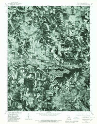
 1972 Foristell1973 Print · USGSForistell and the surrounding tri-county rural landscape appear here in the early seventies, caught between its rail-town roots and growing industrial utility. Researchers can locate family landmarks along Stringtown Road or trace sites like Smith Chapel and the Mid America Raceway.3 unique versions available
 - 1972 Map of Troy, 1973 Print
 1972 Troy1973 Print · USGSLincoln County in the early 1970s reveals a landscape where modern development met historic rail and river corridors. Researchers can trace family roots at Sand Run Ch or Bray Cem, and explore the path of the Old Railroad Grade near Moscow Mills.3 unique versions available
 - 1972 Map of Wentzville, 1973 Print
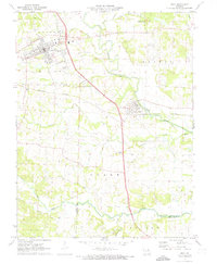
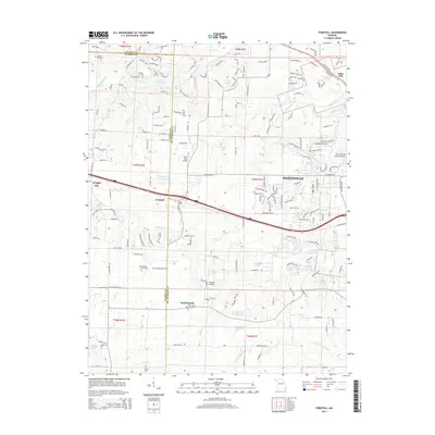
 1972 Wentzville1973 Print · USGSWentzville and its surrounding St. Charles County townships are captured here during a period of suburban growth in the early seventies. Genealogists and local historians can trace family-named routes and old communities like Flint Hill, Gilmore, and the historic Weldon Spring Ch.2 unique versions available
 - 1972 Map of Maryknoll, 1973 Print
 1972 Maryknoll1973 Print · USGSLincoln and St. Charles counties meet along the winding river valley in the early seventies, a landscape shaped by rail and water. Genealogists can locate family landmarks such as Highland Prairie Ch and St Pauls Ch or trace the early paths of Ethlyn and Old Monroe.
 - 1979 Map of Foristell, 1980 Print
 1979 Foristell1980 Print · USGSThe Missouri countryside around Foristell is captured in late 1979 through high-resolution aerial imagery rather than traditional line drawing. Researchers can trace the exact 1970s land use patterns along Peruque Creek and the Fifth Principal Meridian.
 - 1979 Map of Maryknoll, 1980 Print
 1979 Maryknoll1980 Print · USGSLincoln County farmland and river bends appear in sharp detail just before the 1980s. Genealogists and historians can trace the rural layouts of Old Monroe and Chain of Rocks along the banks of the Cuivre River.
 - 1979 Map of Troy, 1980 Print
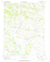
 1979 Troy1980 Print · USGSLincoln County comes into sharp focus in the late seventies as the expansion of Troy meets the agricultural traditions of the Cuivre River valley. Researchers can trace land divisions along the Fifth Principal Meridian or explore the mid-century layout of Moscow Mills.
 - 1979 Map of Wentzville, 1980 Print
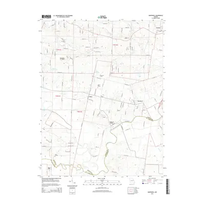
 1979 Wentzville1980 Print · USGSSt. Charles County undergoes a visible transformation in the late seventies as residential growth meets rural Missouri farmland. Trace the development of Lake St Louis and examine the early footprints of Wentzville, Josephville, and Gilmore.
 - 1985 Map of St Louis
 1985 St Louis1985 Print · USGSThe St. Louis metropolitan area and its river confluences are captured here during a period of significant suburban expansion in the 1980s. Genealogists and historians can trace the development of older neighborhoods and landmarks like Jefferson Barracks, Cahokia Mounds State Park, and Washington University.3 unique versions available
 - 2000 Map of Wentzville, 2003 Print
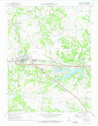
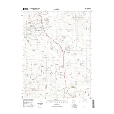
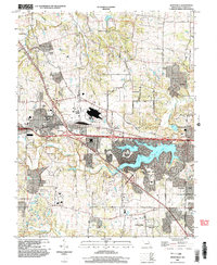 2000 Wentzville2003 Print · USGSWentzville and St. Charles County were undergoing a period of intense suburban development at the turn of the century. Genealogists and local historians can trace the evolution of old settlements like Flint Hill and Josephville alongside the growth of Lake Saint Louis.
 - 2012 Map of Maryknoll, 2012 Print
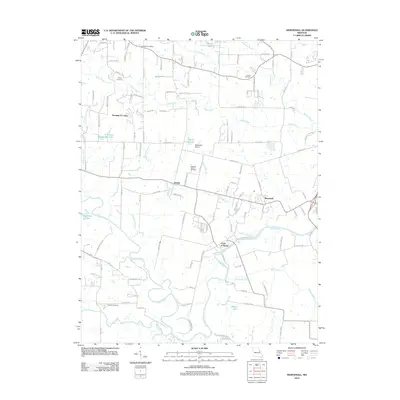 2012 Maryknoll2012 Print · USGSCovers Flint Hill, including Winfield, Old Monroe, and other nearby areas
 - 2012 Map of Wentzville, 2012 Print
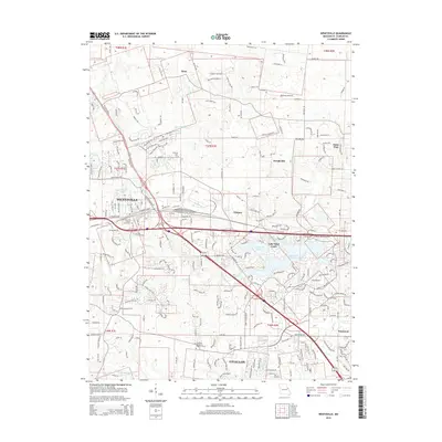
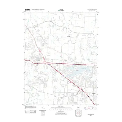 2012 Wentzville2012 Print · USGSCovers Flint Hill, including O'Fallon, Wentzville, and other nearby areas
 - 2012 Map of Troy, 2012 Print
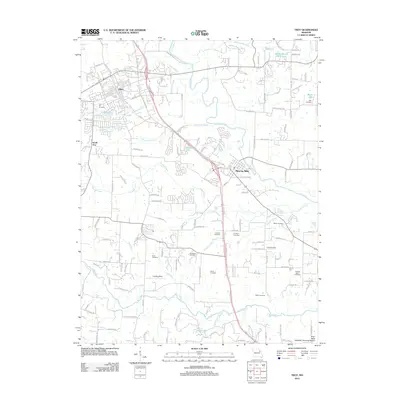 2012 Troy2012 Print · USGSCovers Flint Hill, including Troy, Moscow Mills, and other nearby areas
 - 2012 Map of Foristell, 2012 Print
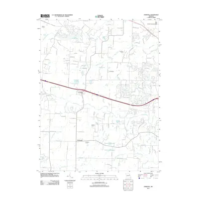 2012 Foristell2012 Print · USGSCovers Flint Hill, including Wentzville, Wright City, and other nearby areas
 - 2015 Map of Troy, 2015 Print
 2015 Troy2015 Print · USGSCovers Flint Hill, including Troy, Moscow Mills, and other nearby areas
 - 2015 Map of Maryknoll, 2015 Print
 2015 Maryknoll2015 Print · USGSCovers Flint Hill, including Winfield, Old Monroe, and other nearby areas
 - 2015 Map of Foristell, 2015 Print
 2015 Foristell2015 Print · USGSCovers Flint Hill, including Wentzville, Wright City, and other nearby areas
 - 2015 Map of Wentzville, 2015 Print
 2015 Wentzville2015 Print · USGSCovers Flint Hill, including O'Fallon, Wentzville, and other nearby areas
Showing maps 1-25 of 33
Top cities near Flint Hill
- O'Fallon historical maps
- Saint Peters historical maps
- Chesterfield historical maps
- Wentzville historical maps
- Wildwood historical maps
- Troy historical maps
See more
Frequently asked questions
- What are the different types of historical maps available for Flint Hill?
- What is the oldest map of Flint Hill?
- Where can I purchase historical maps of Flint Hill for my home or office?
- Where can I download high-res historical maps of Flint Hill?
- Are there historical topographic maps available for Flint Hill?
- Is there historical aerial imagery available for Flint Hill?
- Where are historical maps of Flint Hill sourced from?