Old Maps of Saint Peters, Missouri for Academic Research
Study the evolution of Saint Peters with 25 high-resolution historic maps. Whether you're teaching, researching, or modeling changes in land use, these maps provide essential visual documentation of urban, environmental, and geographic change.
- Analyze long-term change: Track patterns in development, transportation, and natural features.
- Ideal for environmental or urban studies: Support academic projects with primary historical map data.
- Use in the classroom or lab: Educators and researchers rely on these maps to bring historical context to life.
These maps are a powerful tool for teaching, research, and visualizing how Saint Peters has changed over the decades.
Saint Peters, MO maps
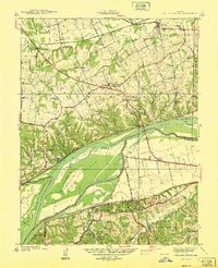
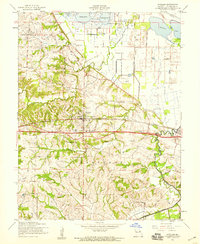
(25)- 1903 Map of O'Fallon
 1903 O'Fallon1903 Print · USGSCovers Saint Peters, including O'Fallon, Saint Charles, and other nearby areas5 unique versions available
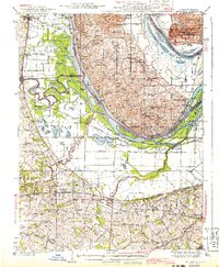
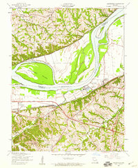
 - 1931 Map of Brussels
 1931 Brussels1931 Print · USGSCovers Saint Peters, including O'Fallon, Saint Charles, and other nearby areas2 unique versions available
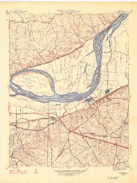
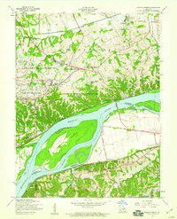
 - 1932 Map of Manchester NE
 1932 Manchester NE1932 Print · USGSCovers Saint Peters, including Saint Charles, Chesterfield, and other nearby areas
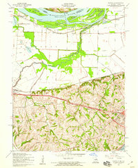
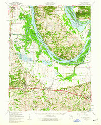
 - 1937 Map of Weldon Spring
 1937 Weldon Spring1937 Print · USGSCovers Saint Peters, including O'Fallon, Chesterfield, and other nearby areas
 - 1939 Map of Brussels, 1955 Print
 1939 Brussels1955 Print · USGSCovers Saint Peters, including O'Fallon, Saint Charles, and other nearby areas
 - 1940 Map of Weldon Spring
 1940 Weldon Spring1940 Print · USGSCovers Saint Peters, including O'Fallon, Chesterfield, and other nearby areas
 - 1943 Map of Brussels
 1943 Brussels1943 Print · USGSCovers Saint Peters, including O'Fallon, Saint Charles, and other nearby areas2 unique versions available
 - 1947 Map of Chesterfield
 1947 Chesterfield1947 Print · USGSCovers Saint Peters, including Saint Charles, Chesterfield, and other nearby areas2 unique versions available
 - 1949 Map of Saint Louis
 1949 Saint Louis1949 Print · USGSCovers Saint Peters, including St. Louis, O'Fallon, and other nearby areas2 unique versions available
 - 1954 Map of Kampville, 1959 Print
 1954 Kampville1959 Print · USGSCovers Saint Peters, including Saint Charles, Cottleville, and other nearby areas4 unique versions available
 - 1954 Map of O'Fallon, 1959 Print
 1954 O'Fallon1959 Print · USGSCovers Saint Peters, including O'Fallon, Dardenne Prairie, and other nearby areas4 unique versions available
 - 1954 Map of Chesterfield, 1959 Print
 1954 Chesterfield1959 Print · USGSCovers Saint Peters, including Saint Charles, Chesterfield, and other nearby areas5 unique versions available
 - 1954 Map of Weldon Spring, 1959 Print
 1954 Weldon Spring1959 Print · USGSCovers Saint Peters, including O'Fallon, Chesterfield, and other nearby areas5 unique versions available
 - 1954 Map of Brussels, 1960 Print
 1954 Brussels1960 Print · USGSCovers Saint Peters, including O'Fallon, Saint Charles, and other nearby areas2 unique versions available
 - 1962 Map of St. Louis
 1962 St. Louis1962 Print · USGSCovers Saint Peters, including St. Louis, O'Fallon, and other nearby areas
 - 1963 Map of St. Louis, 1970 Print
 1963 St. Louis1970 Print · USGSCovers Saint Peters, including St. Louis, O'Fallon, and other nearby areas4 unique versions available
 - 1966 Map of St. Louis
 1966 St. Louis1966 Print · USGSCovers Saint Peters, including St. Louis, O'Fallon, and other nearby areas
 - 1979 Map of Chesterfield, 1981 Print
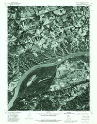
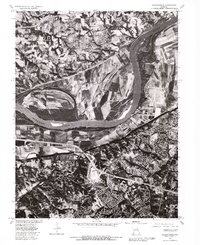 1979 Chesterfield1981 Print · USGSCovers Saint Peters, including Saint Charles, Chesterfield, and other nearby areas
 - 1979 Map of Weldon Spring, 1981 Print
 1979 Weldon Spring1981 Print · USGSCovers Saint Peters, including O'Fallon, Chesterfield, and other nearby areas
 - 1985 Map of St Louis
 1985 St Louis1985 Print · USGSCovers Saint Peters, including St. Louis, O'Fallon, and other nearby areas3 unique versions available
 - 1994 Map of O'Fallon, 1995 Print
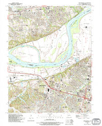
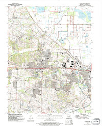 1994 O'Fallon1995 Print · USGSCovers Saint Peters, including O'Fallon, Dardenne Prairie, and other nearby areas
 - 1994 Map of Weldon Spring, 1995 Print
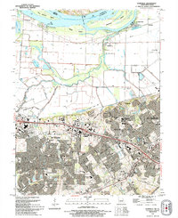
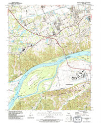 1994 Weldon Spring1995 Print · USGSCovers Saint Peters, including O'Fallon, Chesterfield, and other nearby areas
 - 1994 Map of Chesterfield, 1995 Print
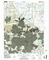
 1994 Chesterfield1995 Print · USGSCovers Saint Peters, including Saint Charles, Chesterfield, and other nearby areas
 - 1994 Map of Kampville, 1995 Print
 1994 Kampville1995 Print · USGSCovers Saint Peters, including Saint Charles, Cottleville, and other nearby areas
 - 2002 Map of O'Fallon, 2003 Print
 2002 O'Fallon2003 Print · USGSCovers Saint Peters, including O'Fallon, Dardenne Prairie, and other nearby areas
End of results
Showing maps 1-25 of 25
Top cities near Saint Peters
- O'Fallon historical maps
- Saint Charles historical maps
- Florissant historical maps
- Chesterfield historical maps
- Wentzville historical maps
- Wildwood historical maps
See more
Top neighborhoods of Saint Peters
Frequently asked questions
- What are the different types of historical maps available for Saint Peters?
- What is the oldest map of Saint Peters?
- Where can I purchase historical maps of Saint Peters for my home or office?
- Where can I download high-res historical maps of Saint Peters?
- Are there historical topographic maps available for Saint Peters?
- Is there historical aerial imagery available for Saint Peters?
- Where are historical maps of Saint Peters sourced from?