2000s (21st Century) Maps of Maryland Heights, Missouri
Explore 12 historic maps of Maryland Heights from the 2000s (21st Century). These maps offer a rare glimpse into what life looked like during the 2000s — showing old roads, neighborhoods, homes, and landmarks that have changed or disappeared over time.
Whether you're researching your family's past, planning a metal detecting trip, or studying how Maryland Heights's landscape evolved across the 2000s, these high-resolution maps are a powerful tool for exploring the history of this region.
- Focus on a specific era: All maps on this page are from the 2000s, giving you a focused view of this time period.
- See what’s changed: Compare century-old streets, trails, and buildings to today's modern landscape using overlays and satellite layers.
- Research with precision: Use these maps for genealogy, historical research, land use analysis, or educational projects.
- View, download, or print: Maps are fully viewable online in high resolution, and can be downloaded or printed for your own records.
Start exploring Maryland Heights's history through authentic maps from the 2000s. This is your window into the past.
Maryland Heights, MO maps
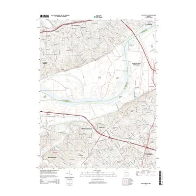
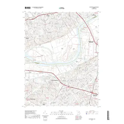
(12)- 2012 Map of Chesterfield, 2012 Print
 2012 Chesterfield2012 Print · USGSCovers Maryland Heights, including Saint Charles, Saint Peters, and other nearby areas
 - 2012 Map of Saint Charles, 2012 Print
 2012 Saint Charles2012 Print · USGSCovers Maryland Heights, including Saint Charles, Florissant, and other nearby areas
 - 2012 Map of Creve Coeur, 2012 Print
 2012 Creve Coeur2012 Print · USGSCovers Maryland Heights, including Chesterfield, Creve Coeur, and other nearby areas
 - 2015 Map of Chesterfield, 2015 Print
 2015 Chesterfield2015 Print · USGSCovers Maryland Heights, including Saint Charles, Saint Peters, and other nearby areas
 - 2015 Map of Saint Charles, 2015 Print
 2015 Saint Charles2015 Print · USGSCovers Maryland Heights, including Saint Charles, Florissant, and other nearby areas
 - 2015 Map of Creve Coeur, 2015 Print
 2015 Creve Coeur2015 Print · USGSCovers Maryland Heights, including Chesterfield, Creve Coeur, and other nearby areas
 - 2017 Map of Chesterfield, 2017 Print
 2017 Chesterfield2017 Print · USGSCovers Maryland Heights, including Saint Charles, Saint Peters, and other nearby areas
 - 2017 Map of Creve Coeur, 2017 Print
 2017 Creve Coeur2017 Print · USGSCovers Maryland Heights, including Chesterfield, Creve Coeur, and other nearby areas
 - 2017 Map of Saint Charles, 2017 Print
 2017 Saint Charles2017 Print · USGSCovers Maryland Heights, including Saint Charles, Florissant, and other nearby areas
 - 2021 Map of Creve Coeur, 2021 Print
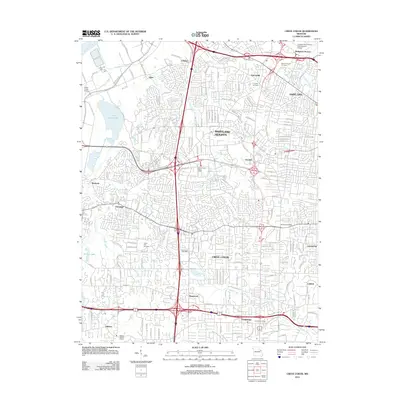
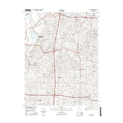
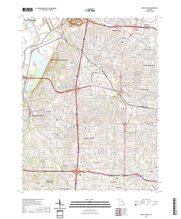 2021 Creve Coeur2021 Print · USGSSt. Louis County is shown in high detail during its modern era of suburban density and institutional growth. Genealogists and local historians can trace burial sites at Fee Fee Cem and Bridgeton Cem, or locate landmarks like Creve Coeur Lake.
 - 2021 Map of Saint Charles, 2021 Print
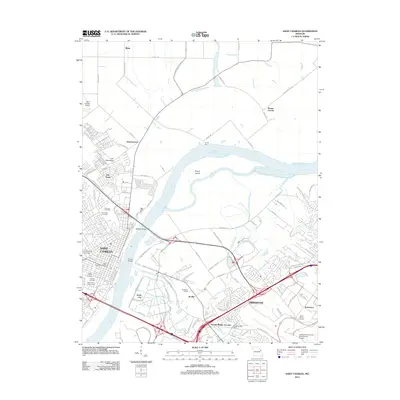
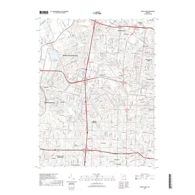
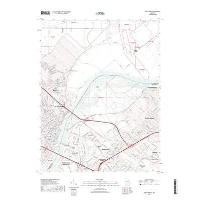
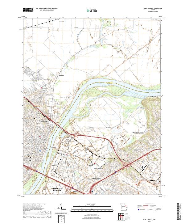 2021 Saint Charles2021 Print · USGSSt. Charles and the Missouri River valley are seen here in recent years as the urban sprawl of St. Louis meets the river bottomlands. Family historians can locate several historic burial grounds like Borromeo Cem and Saint Peters Cem, or trace the old rail corridor of the Katy Trl.
 - 2021 Map of Chesterfield, 2021 Print
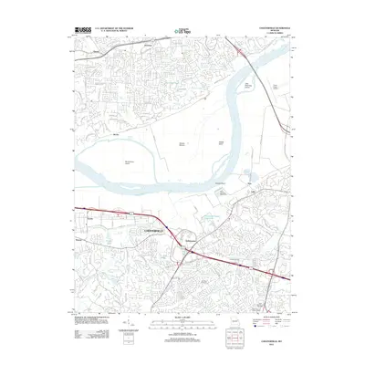
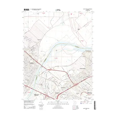
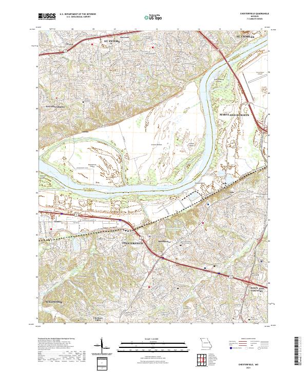 2021 Chesterfield2021 Print · USGSChesterfield and the Missouri River corridor are shown here in the early twenty-first century as suburban growth meets the river's floodplain. Genealogists can trace family landmarks like the Stuart Family Cem and Everwine Cem, or locate regional institutions like Logan University and the Creve Coeur Airport.
End of results
Showing maps 1-12 of 12
Top cities near Maryland Heights
- O'Fallon historical maps
- Saint Charles historical maps
- Saint Peters historical maps
- Florissant historical maps
- Chesterfield historical maps
- Wildwood historical maps
See more
Top neighborhoods of Maryland Heights
Frequently asked questions
- What are the different types of historical maps available for Maryland Heights?
- What is the oldest map of Maryland Heights?
- Where can I purchase historical maps of Maryland Heights for my home or office?
- Where can I download high-res historical maps of Maryland Heights?
- Are there historical topographic maps available for Maryland Heights?
- Is there historical aerial imagery available for Maryland Heights?
- Where are historical maps of Maryland Heights sourced from?