2000s (21st Century) Maps of Moline Acres, Missouri
Explore 17 historic maps of Moline Acres from the 2000s (21st Century). These maps offer a rare glimpse into what life looked like during the 2000s — showing old roads, neighborhoods, homes, and landmarks that have changed or disappeared over time.
Whether you're researching your family's past, planning a metal detecting trip, or studying how Moline Acres's landscape evolved across the 2000s, these high-resolution maps are a powerful tool for exploring the history of this region.
- Focus on a specific era: All maps on this page are from the 2000s, giving you a focused view of this time period.
- See what’s changed: Compare century-old streets, trails, and buildings to today's modern landscape using overlays and satellite layers.
- Research with precision: Use these maps for genealogy, historical research, land use analysis, or educational projects.
- View, download, or print: Maps are fully viewable online in high resolution, and can be downloaded or printed for your own records.
Start exploring Moline Acres's history through authentic maps from the 2000s. This is your window into the past.
Moline Acres, MO maps
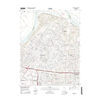
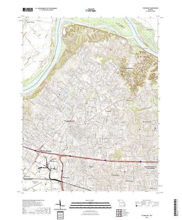
(17)- 2012 Map of Florissant, 2012 Print
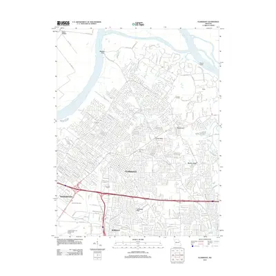 2012 Florissant2012 Print · USGSCovers Moline Acres, including Florissant, Hazelwood, and other nearby areas
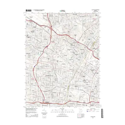
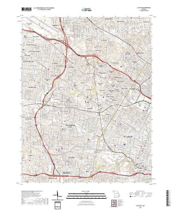
 - 2012 Map of Clayton, 2012 Print
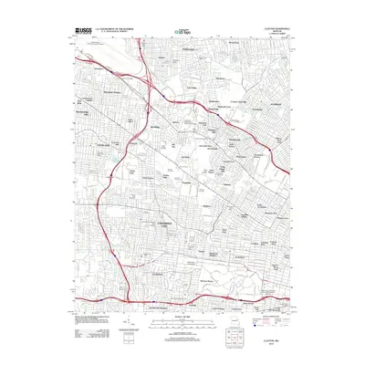 2012 Clayton2012 Print · USGSCovers Moline Acres, including University City, Ferguson, and other nearby areas
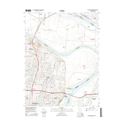
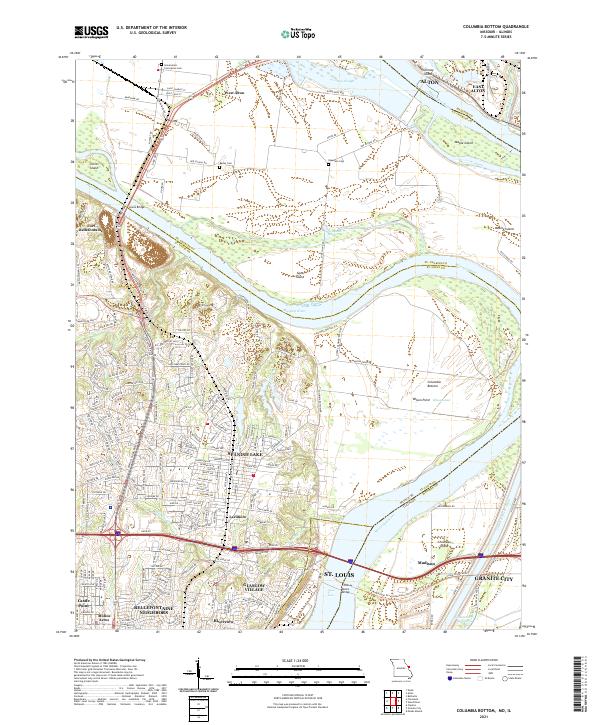
 - 2012 Map of Columbia Bottom, 2012 Print
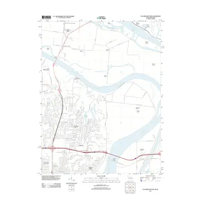 2012 Columbia Bottom2012 Print · USGSCovers Moline Acres, including Granite City, Alton, and other nearby areas
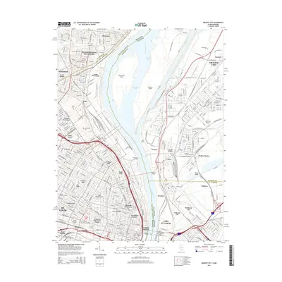
 - 2012 Map of Granite City, 2012 Print
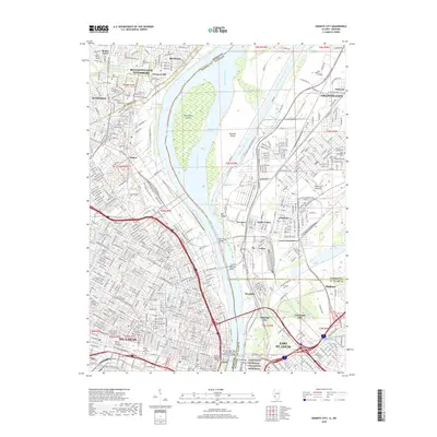
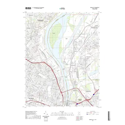
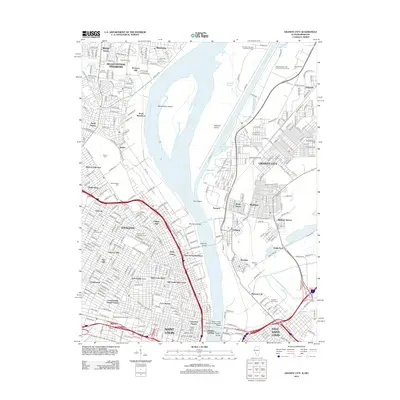 2012 Granite City2012 Print · USGSCovers Moline Acres, including St. Louis, Granite City, and other nearby areas
 - 2015 Map of Clayton, 2015 Print
 2015 Clayton2015 Print · USGSCovers Moline Acres, including University City, Ferguson, and other nearby areas
 - 2015 Map of Florissant, 2015 Print
 2015 Florissant2015 Print · USGSCovers Moline Acres, including Florissant, Hazelwood, and other nearby areas
 - 2015 Map of Columbia Bottom, 2015 Print
 2015 Columbia Bottom2015 Print · USGSCovers Moline Acres, including Granite City, Alton, and other nearby areas
 - 2015 Map of Granite City, 2015 Print
 2015 Granite City2015 Print · USGSCovers Moline Acres, including St. Louis, Granite City, and other nearby areas
 - 2017 Map of Columbia Bottom, 2017 Print
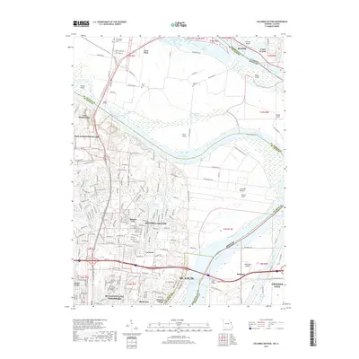 2017 Columbia Bottom2017 Print · USGSCovers Moline Acres, including Granite City, Alton, and other nearby areas
 - 2017 Map of Florissant, 2017 Print
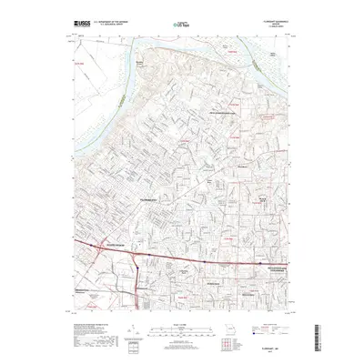 2017 Florissant2017 Print · USGSCovers Moline Acres, including Florissant, Hazelwood, and other nearby areas
 - 2017 Map of Clayton, 2017 Print
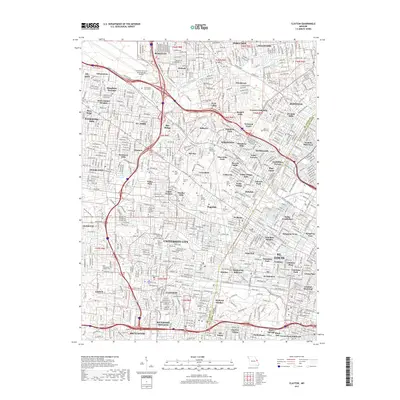 2017 Clayton2017 Print · USGSCovers Moline Acres, including University City, Ferguson, and other nearby areas
 - 2018 Map of Granite City, 2018 Print
 2018 Granite City2018 Print · USGSCovers Moline Acres, including St. Louis, Granite City, and other nearby areas
 - 2021 Map of Granite City, 2021 Print
 2021 Granite City2021 Print · USGSCovers Moline Acres, including St. Louis, Granite City, and other nearby areas
 - 2021 Map of Florissant, 2021 Print
 2021 Florissant2021 Print · USGSNorth St. Louis County and the Missouri River valley are captured in detail during this era of suburban density and river-bottom agriculture. Researchers can trace family sites at Cold Water Cem or explore the shifting banks near Musicks Ferry and Pelican Island.
 - 2021 Map of Clayton, 2021 Print
 2021 Clayton2021 Print · USGSGreater St. Louis County at the start of the 2020s shows a mature landscape of historic municipalities and premier academic institutions. Researchers can trace the layout of the Saint Louis County Courthouse and numerous burial grounds like Valhalla Cem and Zion Cem.
 - 2021 Map of Columbia Bottom, 2021 Print
 2021 Columbia Bottom2021 Print · USGSThe St. Louis riverfront meets the Missouri-Mississippi confluence in this modern topographic study. Genealogists can locate family sites at Bailey Cem and Espedeza Cem, or trace the old routes of Madison Ferry Rd and the Chain of Rocks Bridge.
 - 2024 Map of Granite City, 2024 Print
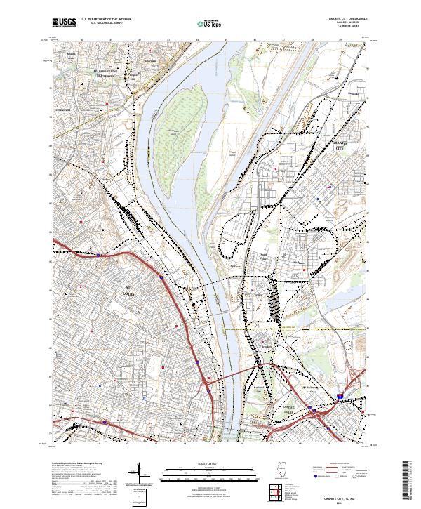 2024 Granite City2024 Print · USGSThe Mississippi River corridor thrives in this modern era, bridging the Missouri and Illinois riverfronts. Genealogists can trace family heritage through the Calvary Cem and Mausoleum or locate landmarks like Ranken Technical College and the Gateway Arch.
End of results
Showing maps 1-17 of 17
Top cities near Moline Acres
- St. Louis historical maps
- Saint Charles historical maps
- Florissant historical maps
- Belleville historical maps
- University City historical maps
- Kirkwood historical maps
See more
Frequently asked questions
- What are the different types of historical maps available for Moline Acres?
- What is the oldest map of Moline Acres?
- Where can I purchase historical maps of Moline Acres for my home or office?
- Where can I download high-res historical maps of Moline Acres?
- Are there historical topographic maps available for Moline Acres?
- Is there historical aerial imagery available for Moline Acres?
- Where are historical maps of Moline Acres sourced from?