1900s (20th Century) Maps of Botanical Heights, St. Louis
Explore 26 historic maps of Botanical Heights from the 1900s (20th Century). These maps offer a rare glimpse into what life looked like during the 1900s — showing old roads, neighborhoods, homes, and landmarks that have changed or disappeared over time.
Whether you're researching your family's past, planning a metal detecting trip, or studying how Botanical Heights's landscape evolved across the 1900s, these high-resolution maps are a powerful tool for exploring the history of this region.
- Focus on a specific era: All maps on this page are from the 1900s, giving you a focused view of this time period.
- See what’s changed: Compare century-old streets, trails, and buildings to today's modern landscape using overlays and satellite layers.
- Research with precision: Use these maps for genealogy, historical research, land use analysis, or educational projects.
- View, download, or print: Maps are fully viewable online in high resolution, and can be downloaded or printed for your own records.
Start exploring Botanical Heights's history through authentic maps from the 1900s. This is your window into the past.
Botanical Heights, St. Louis maps
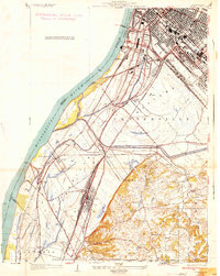
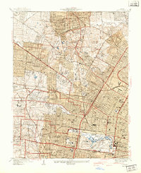
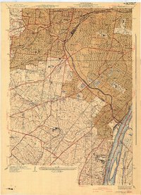
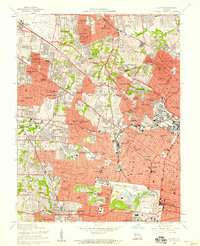
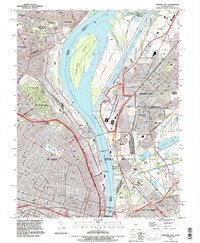
(26)- 1933 Map of Granite City
 1933 Granite City1933 Print · USGSCovers Botanical Heights, including St. Louis, Granite City, and other nearby areas2 unique versions available
 - 1933 Map of Jefferson Barracks
 1933 Jefferson Barracks1933 Print · USGSCovers Botanical Heights, including Mehlville, Webster Groves, and other nearby areas
 - 1933 Map of Cahokia
 1933 Cahokia1933 Print · USGSCovers Botanical Heights, including Cahokia Heights, East St. Louis, and other nearby areas
 - 1933 Map of Clayton
 1933 Clayton1933 Print · USGSCovers Botanical Heights, including University City, Ferguson, and other nearby areas
 - 1934 Map of Cahokia
 1934 Cahokia1934 Print · USGSCovers Botanical Heights, including Cahokia Heights, East St. Louis, and other nearby areas2 unique versions available
 - 1935 Map of Granite City
 1935 Granite City1935 Print · USGSCovers Botanical Heights, including St. Louis, Granite City, and other nearby areas2 unique versions available
 - 1940 Map of Granite City
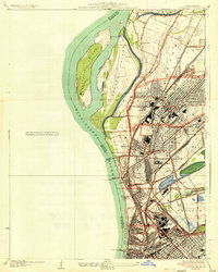
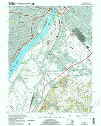
 1940 Granite City1940 Print · USGSCovers Botanical Heights, including St. Louis, Granite City, and other nearby areas5 unique versions available
 - 1940 Map of Cahokia
 1940 Cahokia1940 Print · USGSCovers Botanical Heights, including Cahokia Heights, East St. Louis, and other nearby areas4 unique versions available
 - 1941 Map of Clayton
 1941 Clayton1941 Print · USGSCovers Botanical Heights, including University City, Ferguson, and other nearby areas2 unique versions available
 - 1941 Map of Jefferson Barracks
 1941 Jefferson Barracks1941 Print · USGSCovers Botanical Heights, including Mehlville, Webster Groves, and other nearby areas3 unique versions available
 - 1949 Map of Saint Louis
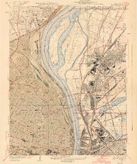
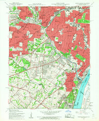
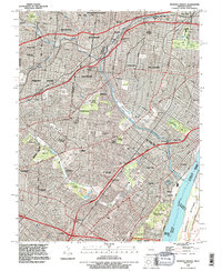
 1949 Saint Louis1949 Print · USGSCovers Botanical Heights, including St. Louis, O'Fallon, and other nearby areas2 unique versions available
 - 1949 Map of Cahokia, 1954 Print
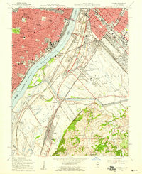
 1949 Cahokia1954 Print · USGSCovers Botanical Heights, including Cahokia Heights, East St. Louis, and other nearby areas2 unique versions available
 - 1954 Map of Granite City, 1958 Print
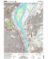
 1954 Granite City1958 Print · USGSCovers Botanical Heights, including St. Louis, Granite City, and other nearby areas6 unique versions available
 - 1954 Map of Clayton, 1959 Print
 1954 Clayton1959 Print · USGSCovers Botanical Heights, including University City, Ferguson, and other nearby areas6 unique versions available
 - 1954 Map of Webster Groves, 1959 Print
 1954 Webster Groves1959 Print · USGSCovers Botanical Heights, including Mehlville, Webster Groves, and other nearby areas5 unique versions available
 - 1954 Map of Cahokia, 1959 Print
 1954 Cahokia1959 Print · USGSCovers Botanical Heights, including Cahokia Heights, East St. Louis, and other nearby areas5 unique versions available
 - 1962 Map of St. Louis
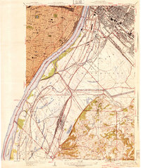
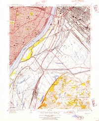
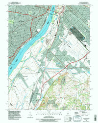
 1962 St. Louis1962 Print · USGSCovers Botanical Heights, including St. Louis, O'Fallon, and other nearby areas
 - 1963 Map of St. Louis, 1970 Print
 1963 St. Louis1970 Print · USGSCovers Botanical Heights, including St. Louis, O'Fallon, and other nearby areas4 unique versions available
 - 1966 Map of St. Louis
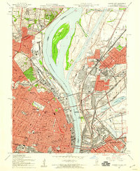
 1966 St. Louis1966 Print · USGSCovers Botanical Heights, including St. Louis, O'Fallon, and other nearby areas
 - 1985 Map of St Louis
 1985 St Louis1985 Print · USGSCovers Botanical Heights, including St. Louis, O'Fallon, and other nearby areas3 unique versions available
 - 1993 Map of Cahokia, 1996 Print
 1993 Cahokia1996 Print · USGSCovers Botanical Heights, including Cahokia Heights, East St. Louis, and other nearby areas
 - 1993 Map of Granite City, 1996 Print
 1993 Granite City1996 Print · USGSCovers Botanical Heights, including St. Louis, Granite City, and other nearby areas
 - 1993 Map of Webster Groves, 1996 Print
 1993 Webster Groves1996 Print · USGSCovers Botanical Heights, including Mehlville, Webster Groves, and other nearby areas
 - 1998 Map of Cahokia, 1999 Print
 1998 Cahokia1999 Print · USGSCovers Botanical Heights, including Cahokia Heights, East St. Louis, and other nearby areas
 - 1998 Map of Granite City, 1999 Print
 1998 Granite City1999 Print · USGSCovers Botanical Heights, including St. Louis, Granite City, and other nearby areas
Showing maps 1-25 of 26
Frequently asked questions
- What are the different types of historical maps available for Botanical Heights?
- What is the oldest map of Botanical Heights?
- Where can I purchase historical maps of Botanical Heights for my home or office?
- Where can I download high-res historical maps of Botanical Heights?
- Are there historical topographic maps available for Botanical Heights?
- Is there historical aerial imagery available for Botanical Heights?
- Where are historical maps of Botanical Heights sourced from?